2 m away
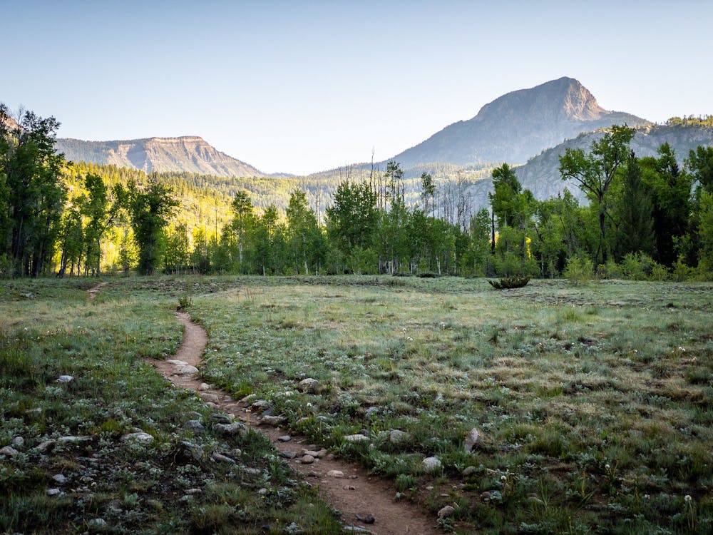
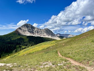
Purgatory Creek Trail Out-and-Back
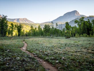
A scenic hike at any time of the year!
Difficult Hiking
- Distance
- 13 km
- Ascent
- 447 m
- Descent
- 447 m
An alternative approach to the Needleton trailhead.
Hiking Difficult

The Needleton Trailhead is the standard beginning of a long trek into the Weminuche Wilderness to bag four of Colorado's famed 14ers: Mount Eolus, North Eolus, Sunlight Peak, and Windom Peak. Most climbers catch the Durango to Silverton narrow gauge railroad to Needleton, but if for some reason you can't get on the train or the train isn't running, you can access Needleton via this hike.
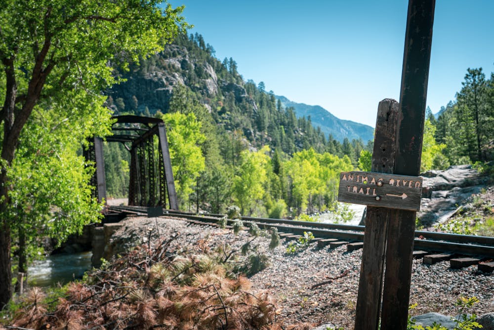
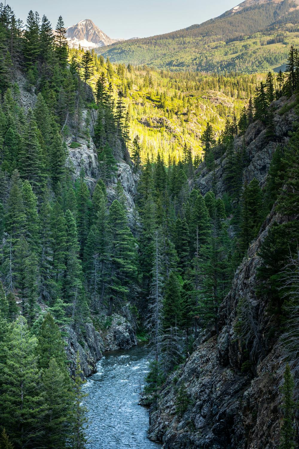
This route follows the Purgatory Creek and Animas River trails to reach Needleton from Highway 550. Needless to say, tacking on an additional 18 miles of hiking cranks up the difficulty of this expedition dramatically!
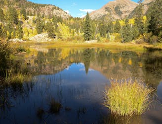
Purgatory Creek itself is a beautiful trail that "winds down a steep slope through large aspen groves along its eponymous stream, making it a cool and shady spot to hike in the heat of summer, as well as an ideal area to search for colorful aspen leaves come fall," according to Terri Cook on 5280.com. The trail drops 1,500 vertical feet from Highway 550 down to the banks of the Animas River in four miles.
Difficult
Hiking trails where obstacles such as rocks or roots are prevalent. Some obstacles can require care to step over or around. At times, the trail can be worn and eroded. The grade of the trail is generally quite steep, and can often lead to strenuous hiking.

The trail contains some obstacles such as outcroppings and rock which could cause injury.

In the high mountains or remote conditions, all individuals must be completely autonomous in every situation.
2 m away
A scenic hike at any time of the year!
Difficult Hiking
3.9 km away
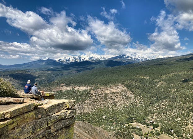
A quick hike offering up stunning views.
Moderate Hiking
4.4 km away
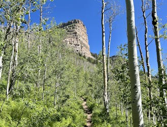
An approachable hike leads to a stunning view point from the top of Castle Rock.
Difficult Hiking
8.1 km away
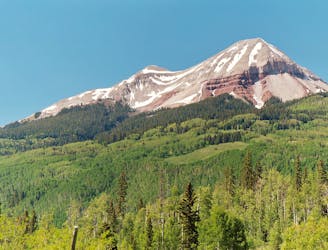
This out-and-back climbs the slopes of Engineer Mountain and rewards with high-altitude wildflowers, views of a rare rock glacier, and a technical summit ridge.
Extreme Hiking
8.1 km away
A popular conduit into the alpine.
Moderate Hiking
9.3 km away
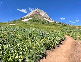
A high-value alpine loop hike easily accessible from the Million Dollar Highway.
Moderate Hiking
10 routes · Alpine Climbing · Hiking