2.5 km away
Grant Terry Trail
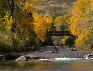
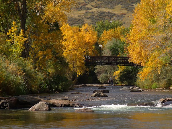
Shady stroll along the creek—great for cooling off on a hot day.
Easy Hiking
- Distance
- 3 km
- Ascent
- 25 m
- Descent
- 25 m
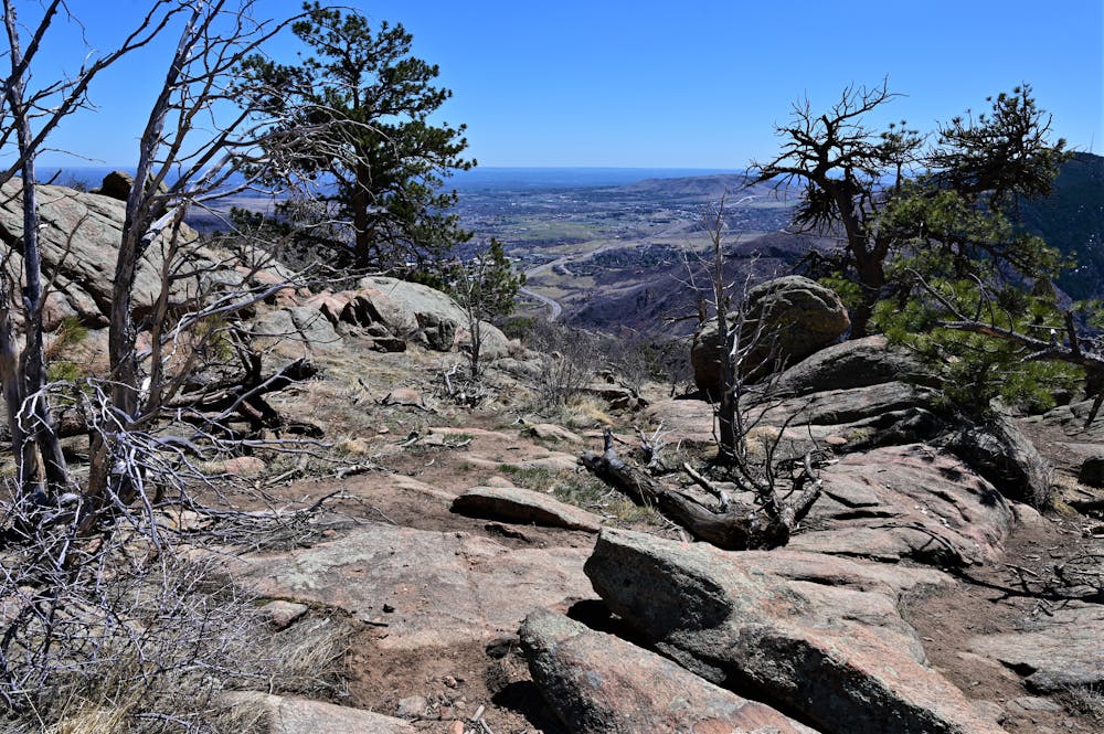
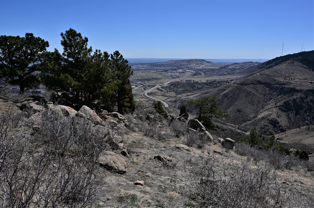
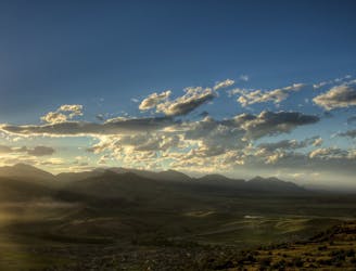
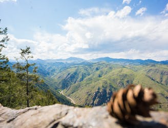
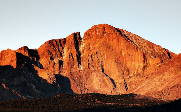
Enjoy spectacular views from the upper slopes of Mount Galbraith.
Hiking Difficult

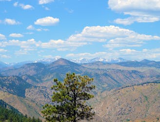
The Mount Galbraith Loop trail provides spectacular views of the nearby mountains and the cities of Golden and Denver below as it circumnavigates the eponymous mountaintop. The most popular way to reach this superb trail is by climbing the well-built but steep Cedar Gulch trail.
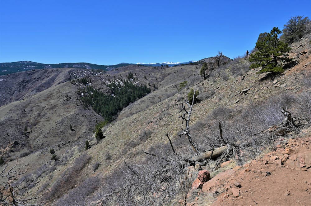
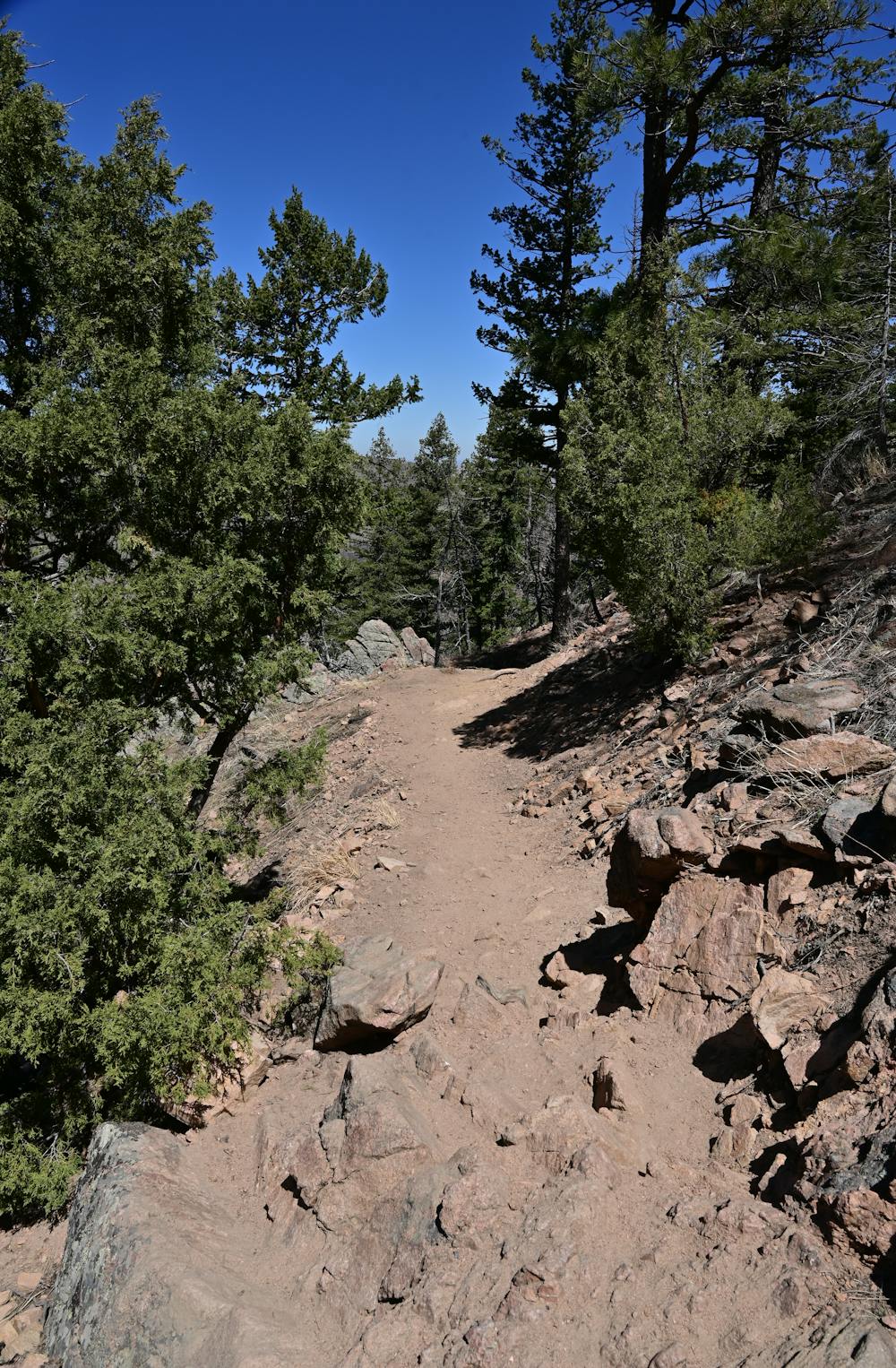
The Cedar Gulch trail begins by running along a stream before quickly ascending the mountainside. It works its way uphill along a well-built bench, winding in and out of the narrow valleys dissecting the mountainside.
From the upper loop trail, hikers will enjoy incredible views of the surrounding area, along with the opportunity to spot beautiful wildflowers on the upper slopes of the mountain in the springtime, and possibly local wildlife.
Intrepid hikers can also attempt to summit Mount Galbraith via a summit trail that bisects the loop.
Sources: https://dayhikesneardenver.com/mt-galbraith-loop-cedar-gulch-trail/ https://www.theoutbound.com/colorado/hiking/mount-galbraith-loop-via-cedar-gulch-trail
Difficult
Hiking trails where obstacles such as rocks or roots are prevalent. Some obstacles can require care to step over or around. At times, the trail can be worn and eroded. The grade of the trail is generally quite steep, and can often lead to strenuous hiking.

The trail contains some obstacles such as outcroppings and rock which could cause injury.
Away from help but easily accessed.
2.5 km away
Shady stroll along the creek—great for cooling off on a hot day.
Easy Hiking
2.9 km away
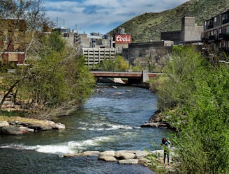
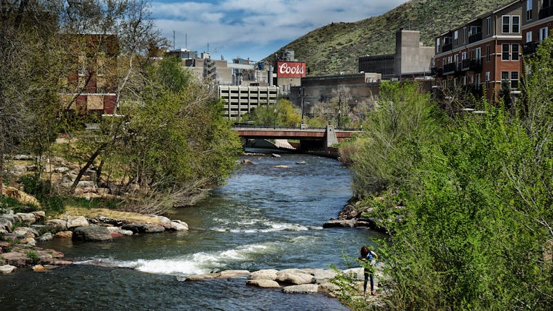
Stroll through a lively riverside park and downtown Golden to reach the brewery of Coors Banquet beer.
Easy Hiking
3.2 km away
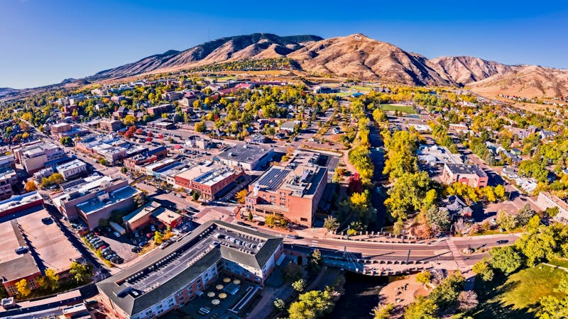
Challenging ascent of Lookout Mountain from its base in the town of Golden.
Difficult Hiking
3.5 km away
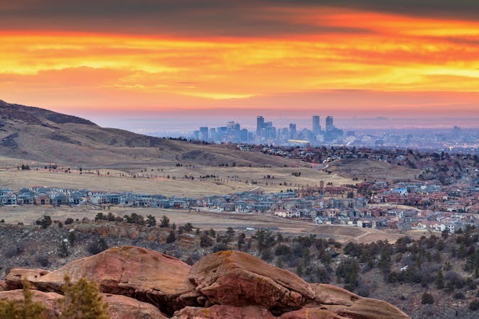
Climb to the panoramic top of North Table Mountain near Golden.
Difficult Hiking
4.8 km away
Pleasant nature loop with interpretive signs.
Easy Hiking
6 routes · Hiking
7 routes · Hiking
7 routes · Hiking
6 routes · Alpine Climbing · Hiking
5 routes · Hiking · Road Biking
25 routes · Hiking
8 routes · Hiking