
16 routes · Hiking

The first 2 miles of the Native Lake trail climbs about 1,000' through woods on a well designed and constructed trail, making the ascent quite pleasant.
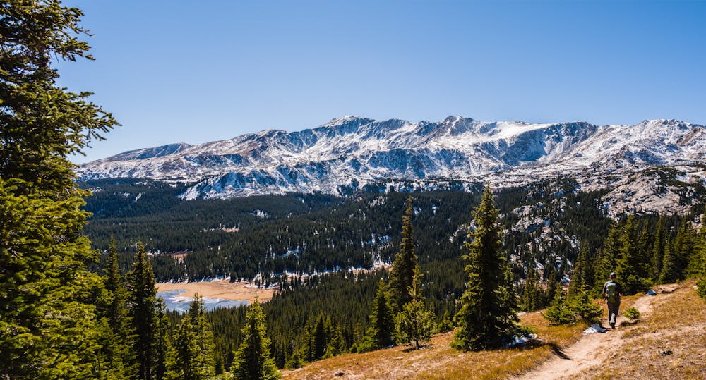
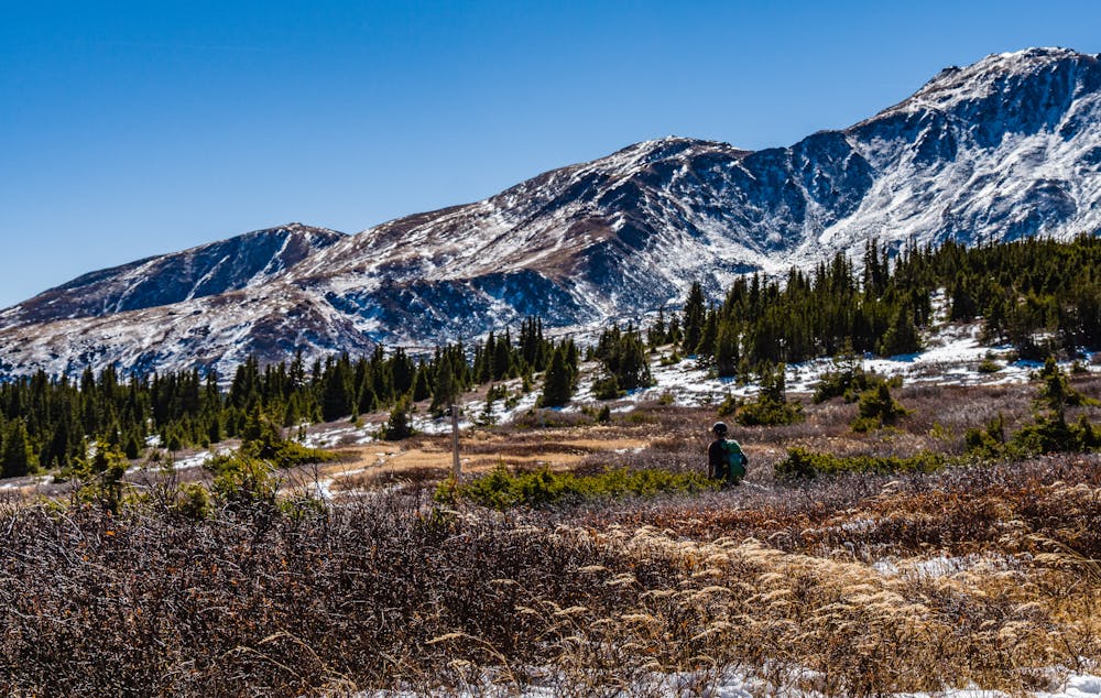
Upon breaking out of the woods, there is a lovely open segment that provides expansive views all around. The next stretch is mostly pretty meadows as the trail crosses a broad plateau. This portion of the hike is a relaxing, mellow jaunt.
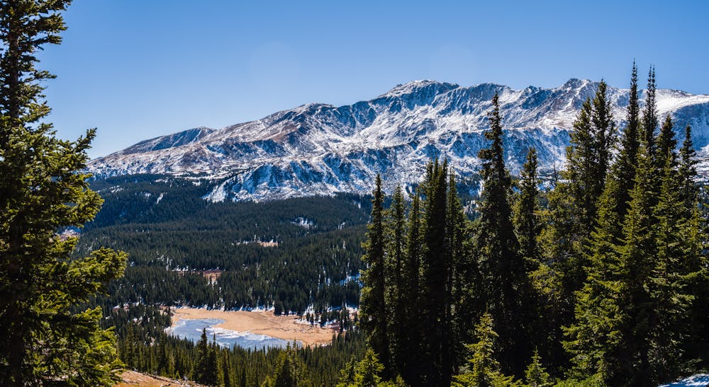
Just before beginning the mile-long descent to Native Lake, the first glimpse of the lake comes into view. Take a minute to drink it in; the view of an alpine lake from far above is truly spectacular. In this case, Native Lake lies far below, while Mt. Massive looms far above.
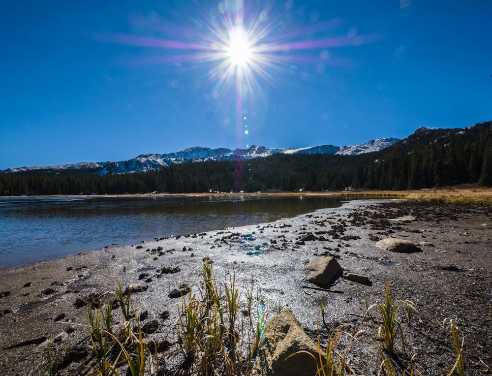
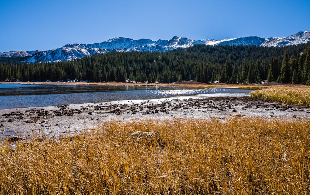
The last mile drops about 600' before reaching the shores of 11,230' Native Lake, but it is worth re-gaining those 600' on the return to enjoy the lake up close and personal. If fishing is the goal, cutthroat trout will be the quarry. If a picnic is in store, the “perfect” spots are numerous. If the hike is in late fall, the lake is even prettier with some sparkling ice coverage.
Whatever the goal for hiking to Native Lake, be sure to allow enough time to fully appreciate the 4.1-mile hike in before turning around and heading back. An option that stretches the time in this gorgeous location, is to backpack in and hike the Class 2 East Ridge route to summit 14,421 Mt. Massive the next day!
In the summer, expect to encounter fellow hikers, but on a lovely October day it is quite possible that there will be no one else sharing the trail. In any season, there is ample beauty to make the 8.2-mile roundtrip Native Lake trek worthwhile.
Access to Native Lake is from the 10,760' Native Lake/Highline trailhead on CR4 (Hagerman Pass Rd.). CR4 is a dirt road accessible by most vehicles from Turquoise Lake Rd. outside of Leadville. It is important to note that both Turquoise Lake and Hagerman Pass roads are unplowed, but groomed for snowmobiling and winter recreation during the winter. In the fall, the Turquoise Lake road can be icy where it's shady and the Hagerman Pass road may have snowy segments.
Moderate
Hiking along trails with some uneven terrain and small hills. Small rocks and roots may be present.

The path is on completely flat land and potential injury is limited to falling over.

Away from help but easily accessed.
16 routes · Hiking