8.8 km away
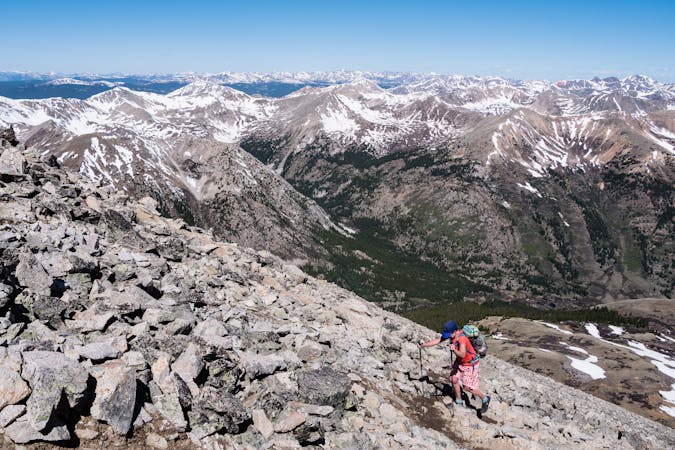
Handies Peak - Grouse Gulch Route
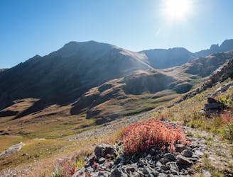
Escape the crowds and climb this popular 14er, known for its beauty, by hiking the Grouse Gulch route to 14,048' Handies Peak.
Severe Hiking
- Distance
- 15 km
- Ascent
- 1.4 km
- Descent
- 1.4 km
A relatively mellow climb up two beautiful 14ers deep in the San Juans.
Hiking Severe

The climb up Red Cloud and Sunshine Peaks is a relatively straightforward hike on Class 1 and Class 2 terrain. Combining the two peaks does result in a relatively long day in the mountains, covering 10 miles and 4,200 feet of climbing and descending. These peaks will remind you that "there's no such thing as an easy 14er"!
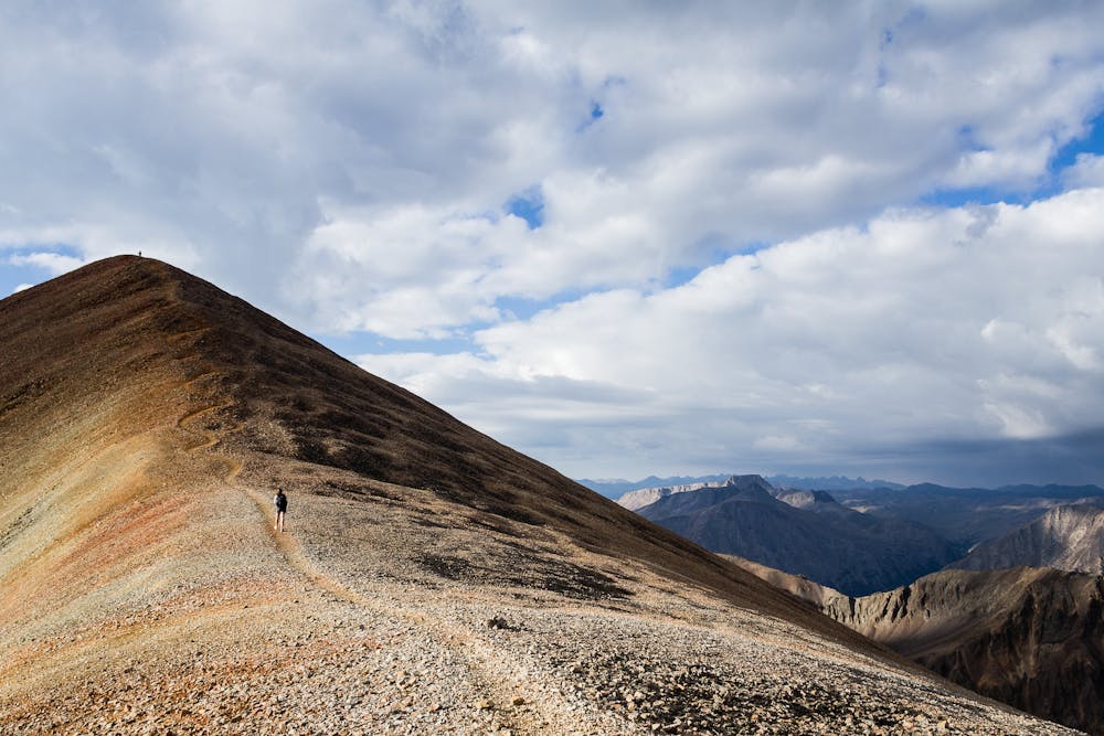
Begin the approach from Cinnamon Pass Road by following the trail along Silver Creek up a mellow valley as you work your way toward the alpine. After reaching the basin below Redcloud, you'll begin "zigzagging up an easy slope to reach the 13,000-foot saddle," according to 14ers.com. Once on the saddle, turn right and follow the well-defined trail up the ridge to the summit.
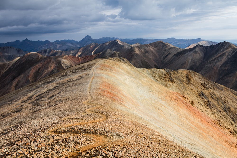
To reach Sunshine, drop down the ridge and make straight for the next peak. The "saddle between the two mountains descends about 500 feet," according to Kilimanjaro1 on SummitPost.org. "It took us right at 1 hour to reach the summit of Sunshine from the Redcloud summit," he continues.
Once you're done on the summit, descend via the Northwest Face, as mapped here. Note: do not backtrack around the ridge and descend from the saddle of the ridge, as this terrain is dangerous.
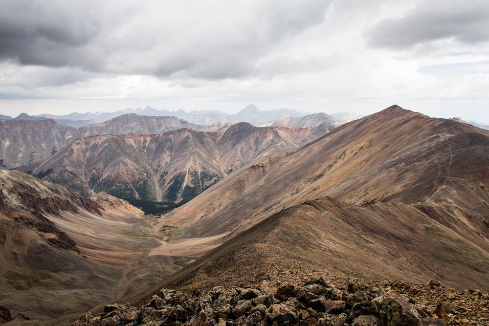
After descending the northwest face, you'll drop into a small valley. Follow the valley down to Silver Creek, then retrace your steps on that trail, back down the valley to your car. Mission accomplished!
Sources: https://www.14ers.com/route.php?route=redc1&peak=Redcloud+Peak+and+Sunshine+Peak https://www.summitpost.org/sunshine-peak/150459 https://www.summitpost.org/redcloud-peak/150458
Severe
Hiking challenging trails where simple scrambling, with the occasional use of the hands, is a distinct possibility. The trails are often filled with all manner of obstacles both small and large, and the hills are very steep. Obstacles and challenges are often unexpected and can be unpredictable.

The trail contains some obstacles such as outcroppings and rock which could cause injury.

In the high mountains or remote conditions, all individuals must be completely autonomous in every situation.
8.8 km away
Escape the crowds and climb this popular 14er, known for its beauty, by hiking the Grouse Gulch route to 14,048' Handies Peak.
Severe Hiking
10 routes · Alpine Climbing · Hiking
6 routes · Alpine Climbing · Hiking

46 routes · Alpine Climbing · Hiking