873 m away
Green Mountain via Gregory Canyon
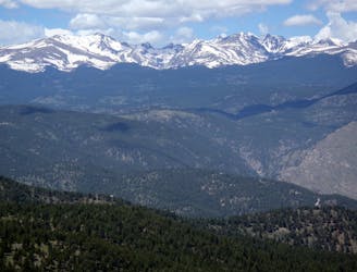
A loop to the top of Boulder's most iconic mountain.
Severe Hiking
- Distance
- 7.7 km
- Ascent
- 707 m
- Descent
- 707 m
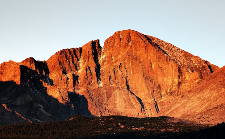
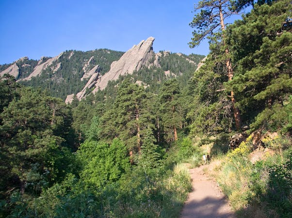
One of the most famous hikes in Boulder, leading to a natural arch via a rough, rocky ascent.
Hiking Severe

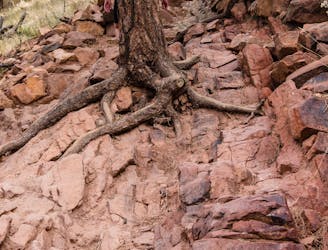
The hike to Royal Arch is one of the most popular in Boulder, thanks to its easy access and beautiful views. The trail begins at the Bluebell trailhead on the edge of town, heading into the Flatirons to reach a natural stone arch—an eroded outcrop of the Fountain Formation. You'll also get to check out Tangen Spring and a small cave, adding a little extra exploration to the adventure.

While the approach is easy, as the hike enters the Flatirons, it traverses some fairly challenging terrain, including loose rocks, tight switchbacks, and large steps. While popular, this is far from the easiest hike in Boulder. Come prepared for a bit of a challenge!
Sources: https://bouldercolorado.gov/trail/royal-arch https://www.outdoorproject.com/united-states/colorado/royal-arch-hike https://dayhikesneardenver.com/royal-arch-trail-hike-in-boulder-colorado/
Severe
Hiking challenging trails where simple scrambling, with the occasional use of the hands, is a distinct possibility. The trails are often filled with all manner of obstacles both small and large, and the hills are very steep. Obstacles and challenges are often unexpected and can be unpredictable.

Some trail sections have exposed ledges or steep ascents/descents where falling could cause serious injury.

Away from help but easily accessed.
873 m away
A loop to the top of Boulder's most iconic mountain.
Severe Hiking
2.6 km away
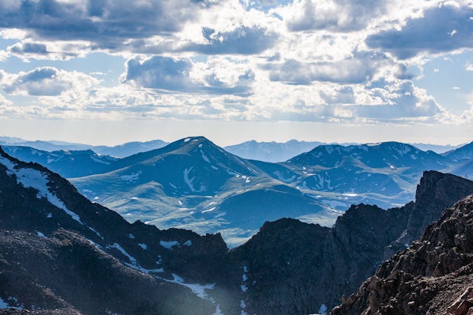
A quintessential Boulder hiking route.
Severe Hiking
7 routes · Hiking
6 routes · Alpine Climbing · Hiking
7 routes · Hiking