9.8 km away
Mt. Columbia: East Ridge
Avoid the crowds and utilize route finding skills by trekking the East Ridge route to summit 14,073' Mt. Columbia.
Extreme Hiking
- Distance
- 19 km
- Ascent
- 1.6 km
- Descent
- 1.6 km
Out-and-back hike to the top of the pass on the Tumble Creek Trail.
Hiking Difficult

The Tumble Creek Trail provides a beautiful hike deep into the heart of the Buffalo Peaks Wilderness. Since this trailhead is relatively difficult to access (a high-clearance vehicle is recommended), and since there aren’t any 14ers in the Buffalo Peaks Wilderness Area, this trail gets very little traffic compared to most other Colorado trails. The solitude and the beauty of the Buffalo Peaks Area is enchanting, and may keep luring you back again and again.
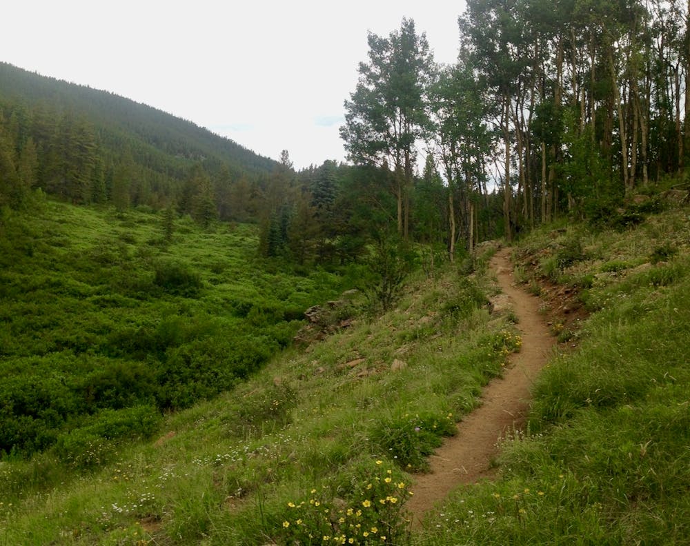
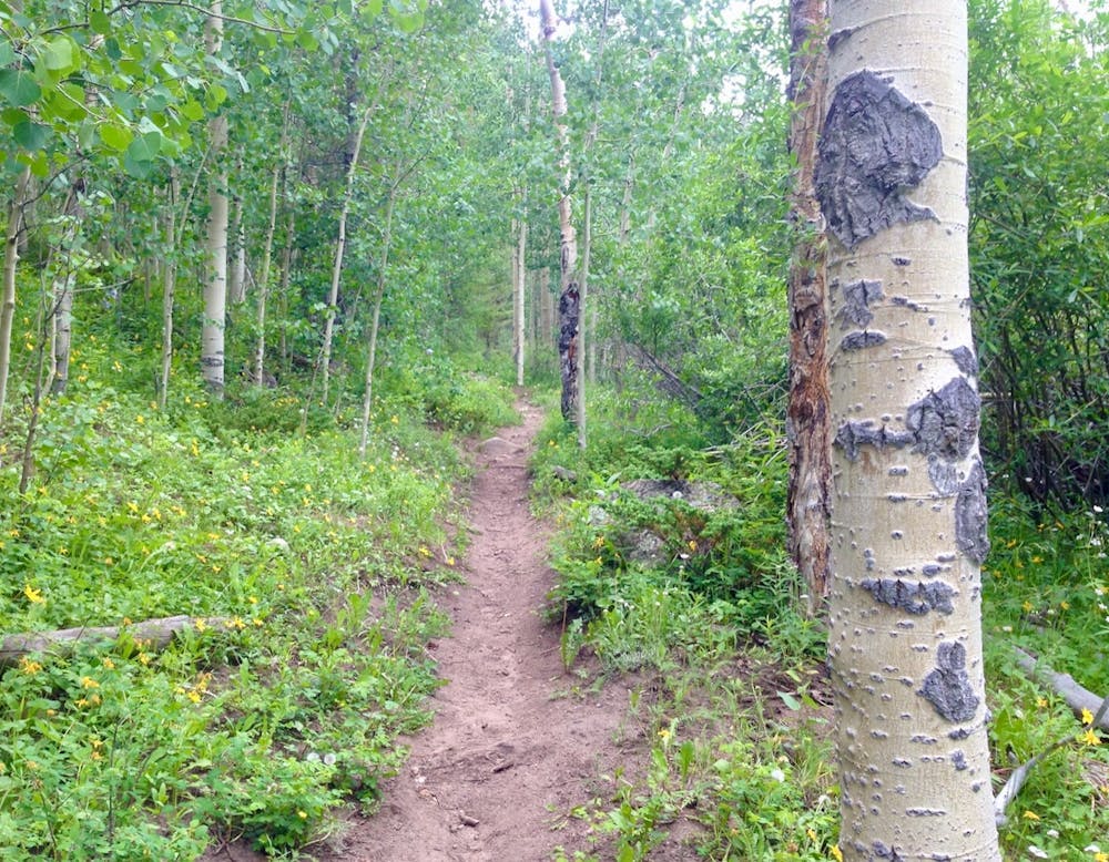
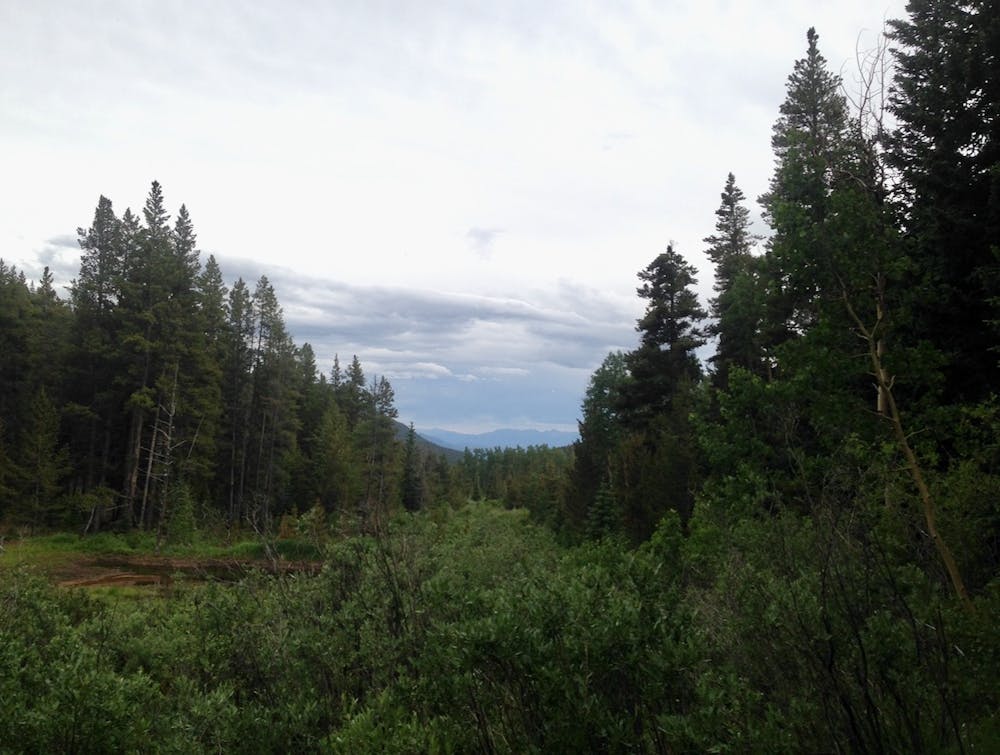
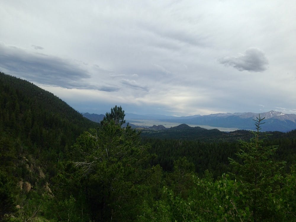
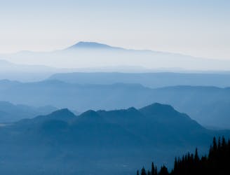
The Tumble Creek Trail starts off very mellow, climbing along the tumbling creek as it slowly makes its way up a low valley through aspen groves and stands of pines. A few meadows provide views back toward the Sawatch Range, and you can catch glimpses of the Buffalo Peaks above you.
While most of the hike is quite mellow, the final pitch to the pass is steeper and rockier, and could be demanding for some hikers. This pitch gives the hike a “difficult” rating in FATMAP. If you were to stop before the final pitch and turn around, this hike could easily have a “moderate” rating, which is quite rare for Colorado wilderness areas.
Once on top of the pass, you can turn around and head back to the car, OR if you’ve planned for it and are prepared for a big day in the mountains, you have the option to summit one (or both) of the Buffalo Peaks. While these mountains are visually-impressive and can easily be spotted from many miles away, since they're 13ers and buried deep in a wilderness area, don't expect a defined trail (or even cairns) to the top of the mountains. You'll have to overland navigate to gain the summits.
Ensure that you’re prepared for a big day (or days) in the backcountry if you make an attempt on the summit. Otherwise, savor your time at the pass and then turn around and head back to your car.
Difficult
Hiking trails where obstacles such as rocks or roots are prevalent. Some obstacles can require care to step over or around. At times, the trail can be worn and eroded. The grade of the trail is generally quite steep, and can often lead to strenuous hiking.

The trail contains some obstacles such as outcroppings and rock which could cause injury.

In the high mountains or remote conditions, all individuals must be completely autonomous in every situation.
9.8 km away
Avoid the crowds and utilize route finding skills by trekking the East Ridge route to summit 14,073' Mt. Columbia.
Extreme Hiking