5 km away
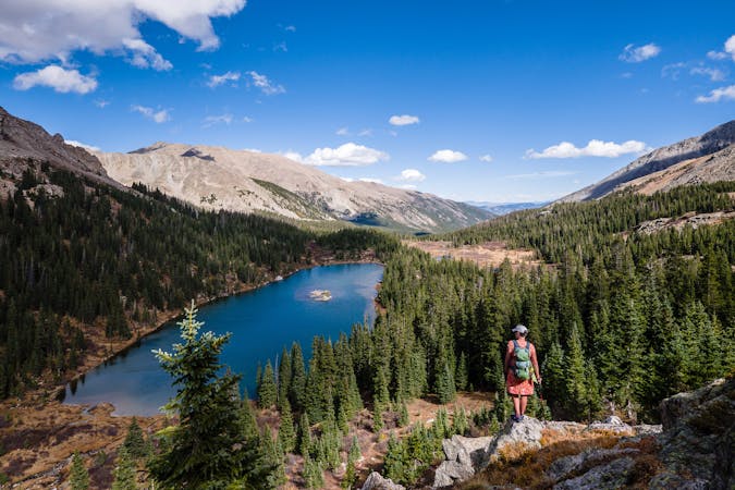
Kroenke Lake
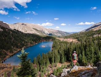
This alpine lake provides options from day hike to shuttle hike to backpacking destination.
Difficult Hiking
- Distance
- 14 km
- Ascent
- 512 m
- Descent
- 512 m
Avoid the crowds and utilize route finding skills by trekking the East Ridge route to summit 14,073' Mt. Columbia.
Hiking Extreme

While Columbia's standard West Slopes Route is being re-routed and built sustainably by Colorado Fourteeners Initiative (CFI), the East Ridge route via the 3 Elk Creek trailhead is a challenging alternative. Do your homework and sharpen your route finding skills before setting out on this 12+ mile roundtrip beauty!

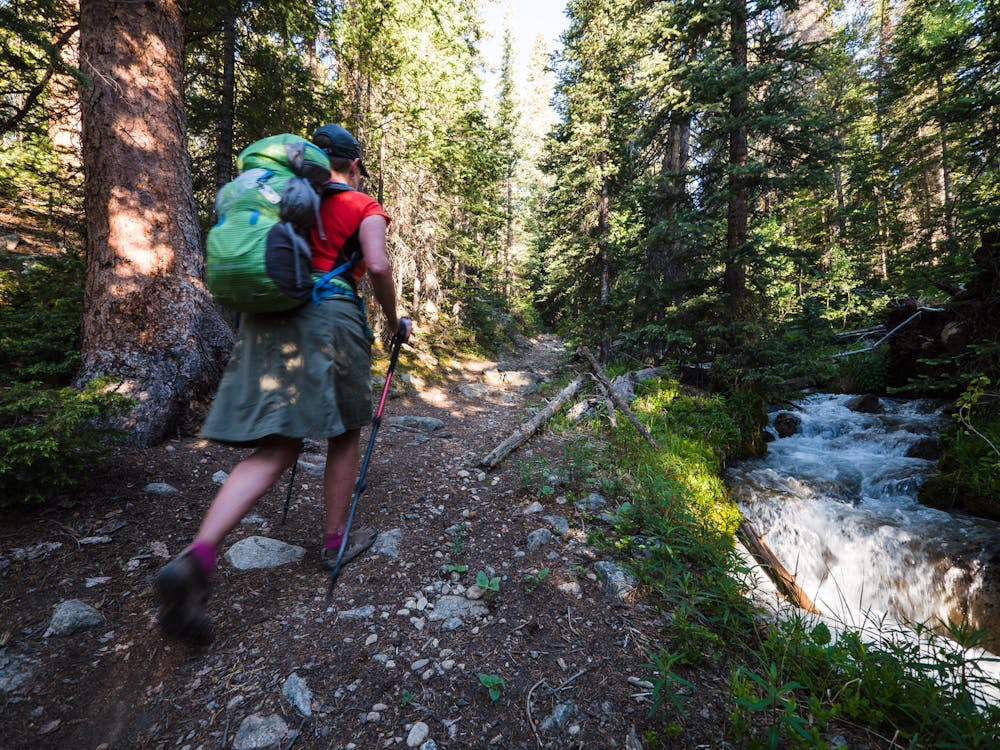

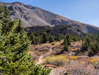
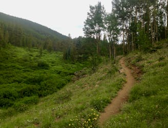
Starting at the 9,260' TH, the 3 Elk Creek trail will cross 3 Elk Creek a couple times and meander alongside it for the first 3 miles of the hike. Be sure to enjoy both the trail and the sights and sounds of the creek before starting the off-trail adventure.
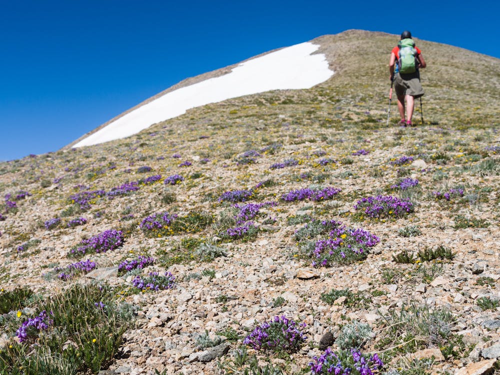
The next part of the hike involves locating the best way to gain Columbia's east ridge. This part of the ascent will cover a solid mile or more.
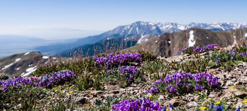
Take the time to appreciate the views and understand that there will be three false summits to travel over before the final, and true, summit of Mt. Columbia is possible.
False summits are often reviled and feared, but the effort required to attain each one just makes the final summit that much sweeter. It is said that “knowledge is power” and that is certainly true of false summits; just know that there are three and address them one-by-one.
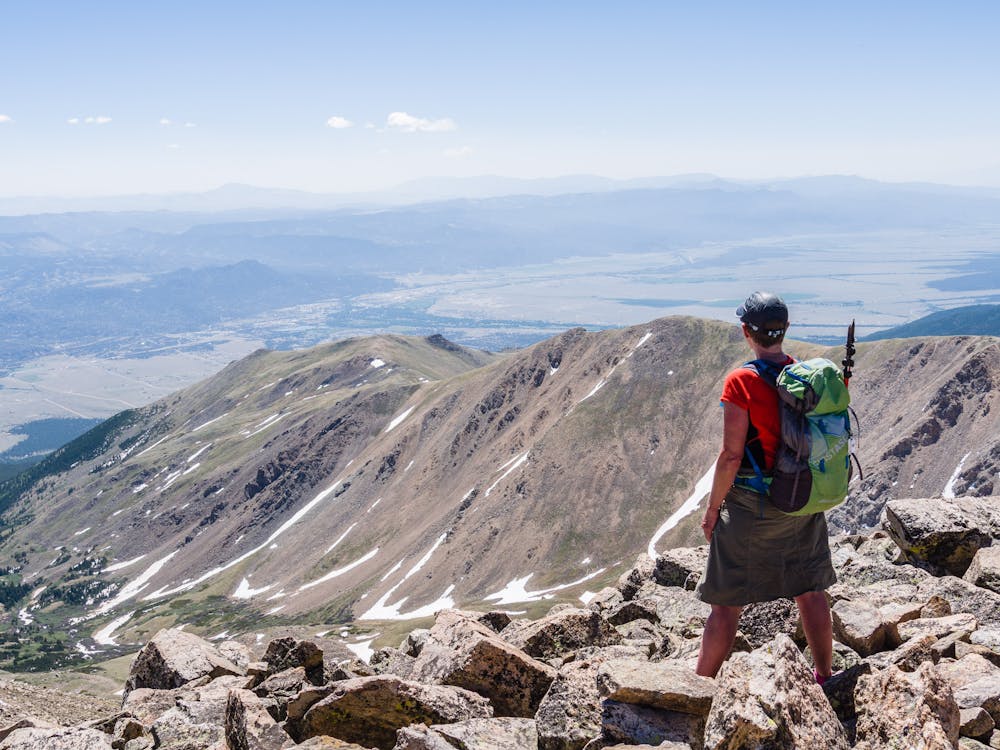
The top of the third and final false summit provides an expansive view of the real-deal... the summit of 14,073' Mt. Columbia!
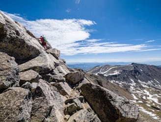
The final push requires just a tad bit of talus negotiating to earn the actual summit of Mt. Columbia. Once there, take in the views in every direction: one is of lovely Bear Lake way down in Horn Fork Basin, one of 14,420' Mt. Harvard and yet another of the beautiful little town of Buena Vista 6,000' below.
Extreme
Scrambling up mountains and along technical trails with moderate fall exposure. Handholds are necessary to navigate the trail in its entirety, although they are not necessary at all times. Some obstacles can be very large and difficult to navigate, and the grades can often be near-vertical. The challenge of the trail and the steepness of the grade results in very strenuous hiking. Hikes of this difficulty blur the lines between "hiking" and "climbing".

Some trail sections have exposed ledges or steep ascents/descents where falling could cause serious injury.
Little chance of being seen or helped in case of an accident.
5 km away
This alpine lake provides options from day hike to shuttle hike to backpacking destination.
Difficult Hiking
5 km away
This high alpine lake sits below 14,420' Mt. Harvard.
Difficult Hiking
5 km away
This 14-mile roundtrip hike to the 14,420' summit of Mt. Harvard, complete with a final scramble up the summit-block, is truly a top-notch 14er experience!
Extreme Hiking
9.8 km away
Out-and-back hike to the top of the pass on the Tumble Creek Trail.
Difficult Hiking

16 routes · Hiking
5 routes · Alpine Climbing · Hiking