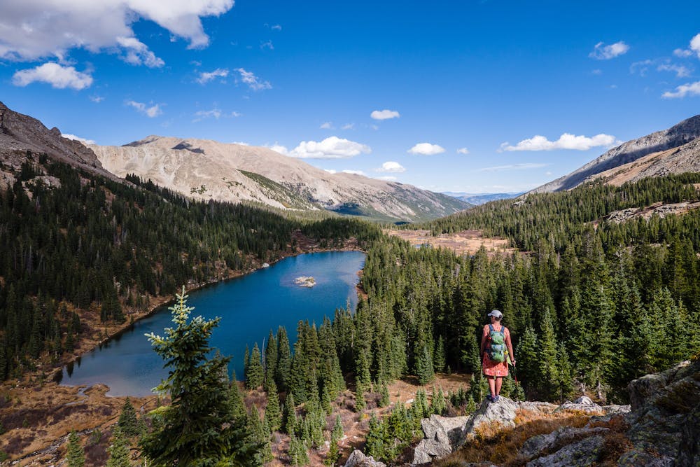
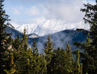
Bear Lake in Horn Fork Basin
This high alpine lake sits below 14,420' Mt. Harvard.
Difficult Hiking
- Distance
- 17 km
- Ascent
- 787 m
- Descent
- 787 m
This alpine lake provides options from day hike to shuttle hike to backpacking destination.
Hiking Difficult

There are two trailheads providing access to Kroenke Lake, but the most common jumping-off point is the North Cottonwood trailhead for an 8.5-mile roundtrip hike. CR365 is a dirt road, accessible by most vehicles, except during the winter when it is not plowed.
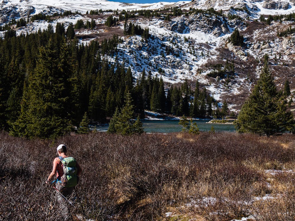
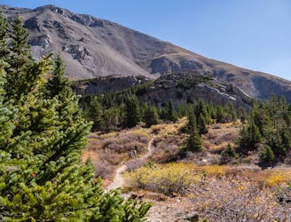
The first 1.7 miles is a pleasant stroll on a wide, smooth trail that gains little elevation as it follows the lovely, gurgling North Cottonwood Creek. At 1.7 miles, the trail splits at a signed junction where the Kroenke Lake trail heads left, and continuing on the right fork takes one into Horn Fork Basin, Bear Lake, and Mt. Harvard.
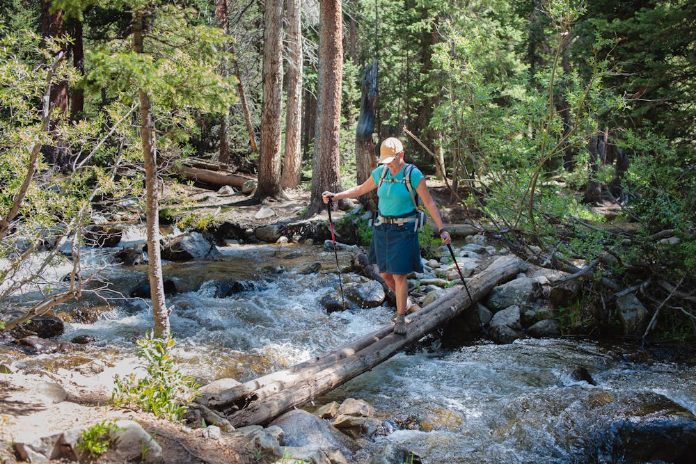
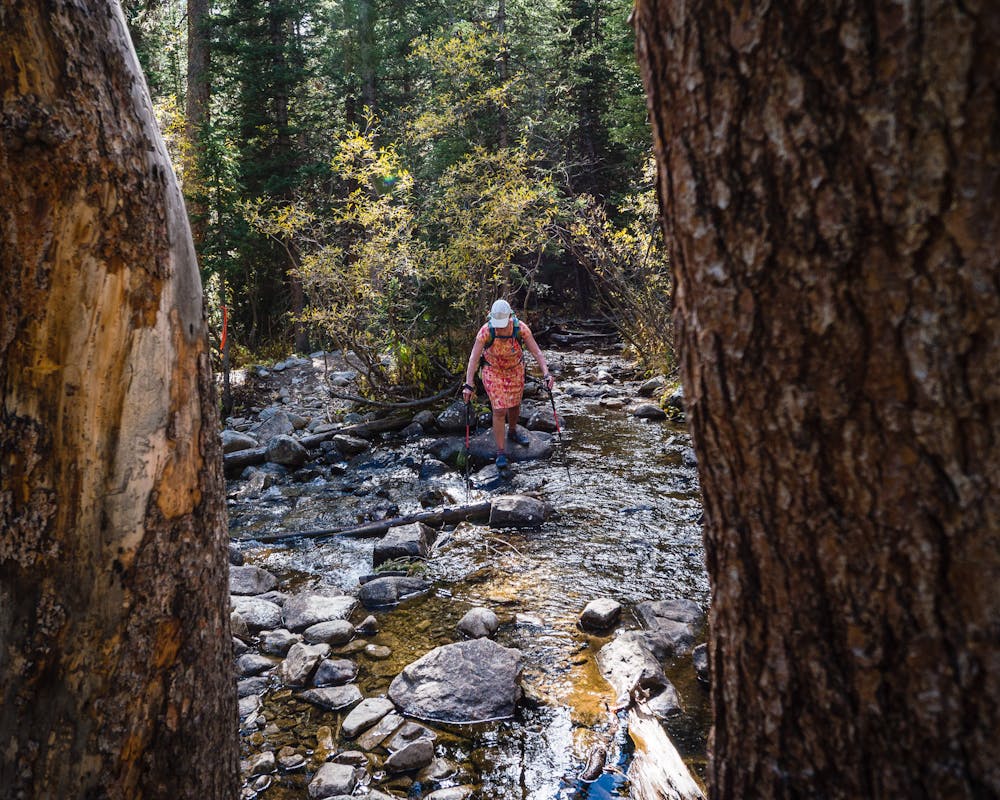
The Kroenke Lake Trail becomes a bit more rugged after the junction and crosses the creek several times with varying degrees of ease. Some crossings involve simple rock hopping, but the widest crossing becomes extremely challenging during spring runoff. Until the planned wilderness bridge is completed, use caution!
There are plenty of campsites on the south end of the lake, but it is a popular backpacking destination, so it's best to get there early to find a spot. As a basecamp, Kroenke Lake provides a wide variety of options for day hikes. Many people choose to enjoy the 2.7-mile (5.4 miles roundtrip) hike to Browns Pass, but some attempt to summit 12,730' Birthday Peak, which requires good route-finding skills.
Another way to enjoy Kroenke Lake is via shuttle: leaving one vehicle at the Denny Creek trailhead on CR306. This option is an 11-mile best-of-the-best tour of Sawatch high country that takes hikers past Kroenke Lake, up to Browns Pass, and descends to Denny Creek.
Kroenke Lake is an alpine gem for a “choose-your-own-adventure” trip. Whether you set up a tent and stay awhile, or hike on by en route to other destinations... plan to make Kroenke Lake a highlight of your outing. Be sure to take your pack off, have a snack, and take some time to soak in the peaceful beauty before moving on.
Difficult
Hiking trails where obstacles such as rocks or roots are prevalent. Some obstacles can require care to step over or around. At times, the trail can be worn and eroded. The grade of the trail is generally quite steep, and can often lead to strenuous hiking.

The path is on completely flat land and potential injury is limited to falling over.
Close to help in case of emergency.
This high alpine lake sits below 14,420' Mt. Harvard.
Difficult Hiking
1 m away
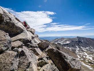
This 14-mile roundtrip hike to the 14,420' summit of Mt. Harvard, complete with a final scramble up the summit-block, is truly a top-notch 14er experience!
Extreme Hiking
5 km away
Avoid the crowds and utilize route finding skills by trekking the East Ridge route to summit 14,073' Mt. Columbia.
Extreme Hiking
8.6 km away
Buena Vista's backyard 14er offers a challenging climb with a rewarding summit view.
Extreme Hiking
8.6 km away
Hike to an alpine lake deep in the Collegiate Peaks Wilderness.
Difficult Hiking

16 routes · Hiking

5 routes · Alpine Climbing · Hiking