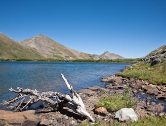
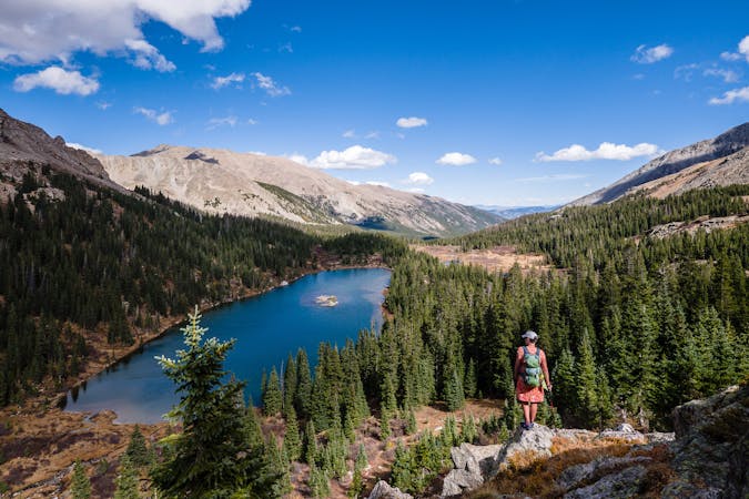
Hartenstein Lake
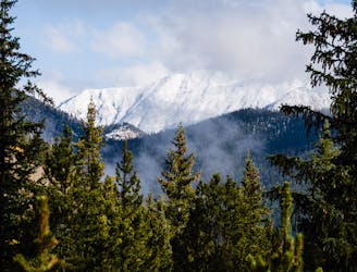
Hike to an alpine lake deep in the Collegiate Peaks Wilderness.
Difficult Hiking
- Distance
- 9.3 km
- Ascent
- 507 m
- Descent
- 507 m
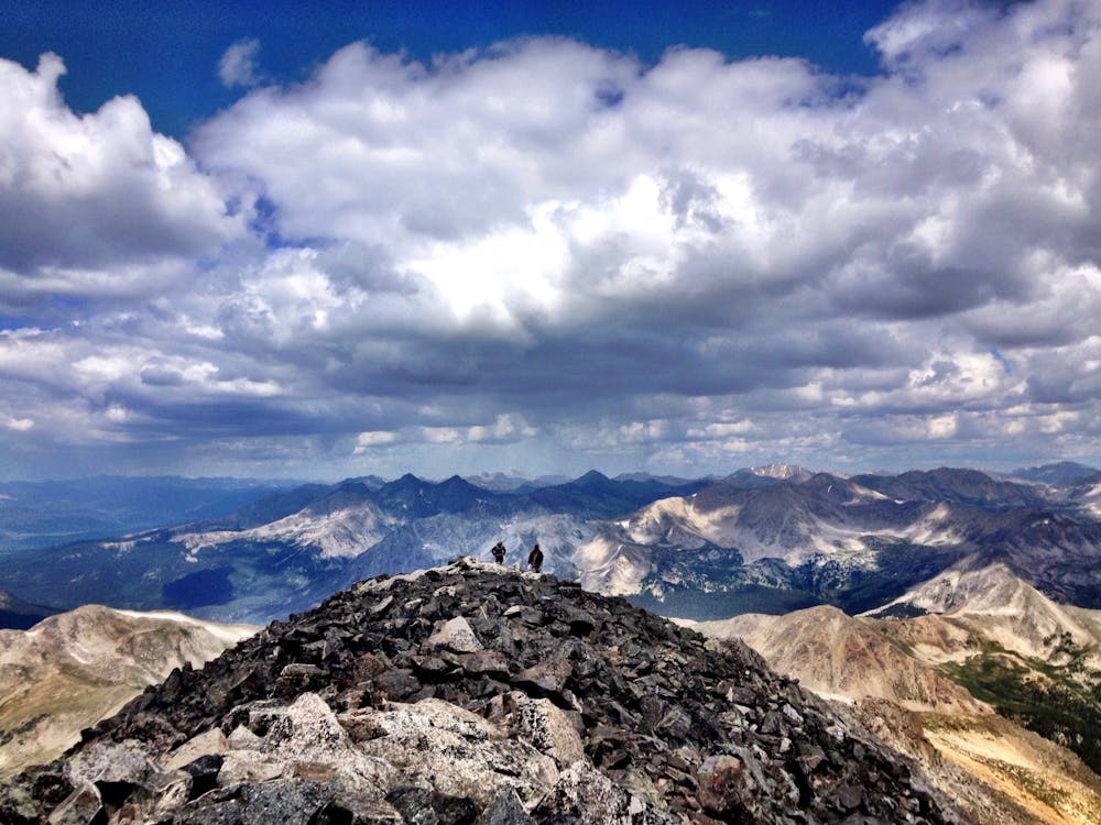
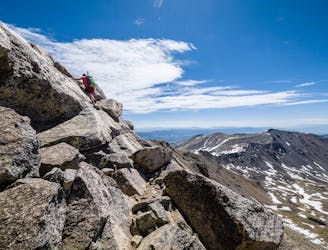
Buena Vista's backyard 14er offers a challenging climb with a rewarding summit view.
Hiking Extreme

Locals affectionately claim Mount Yale as Buena Vista's "backyard 14er." The 14,199-foot summit towers above town, and the trailhead is very accessible via the paved Cottonwood Pass road. And yet... despite being a so-called "backyard" peak, the climb to the summit of Mount Yale is no small challenge.
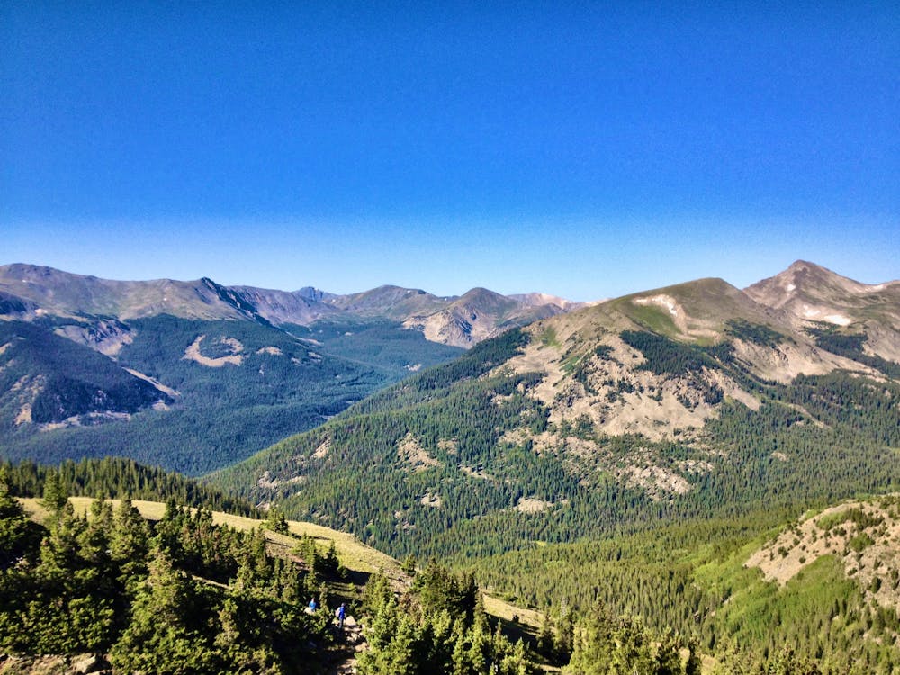
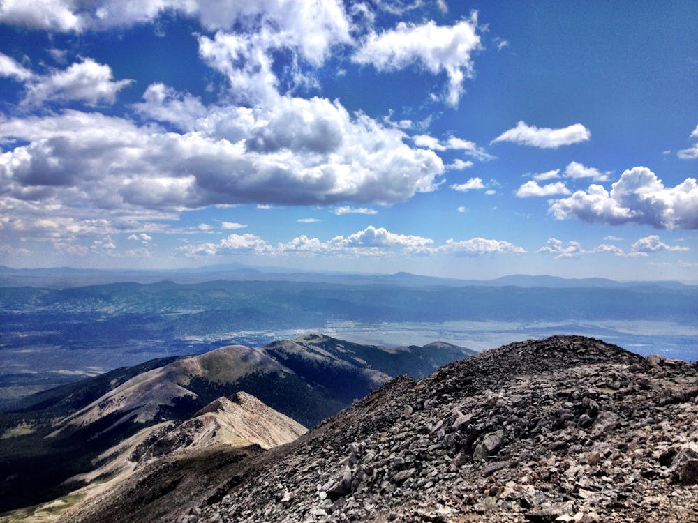
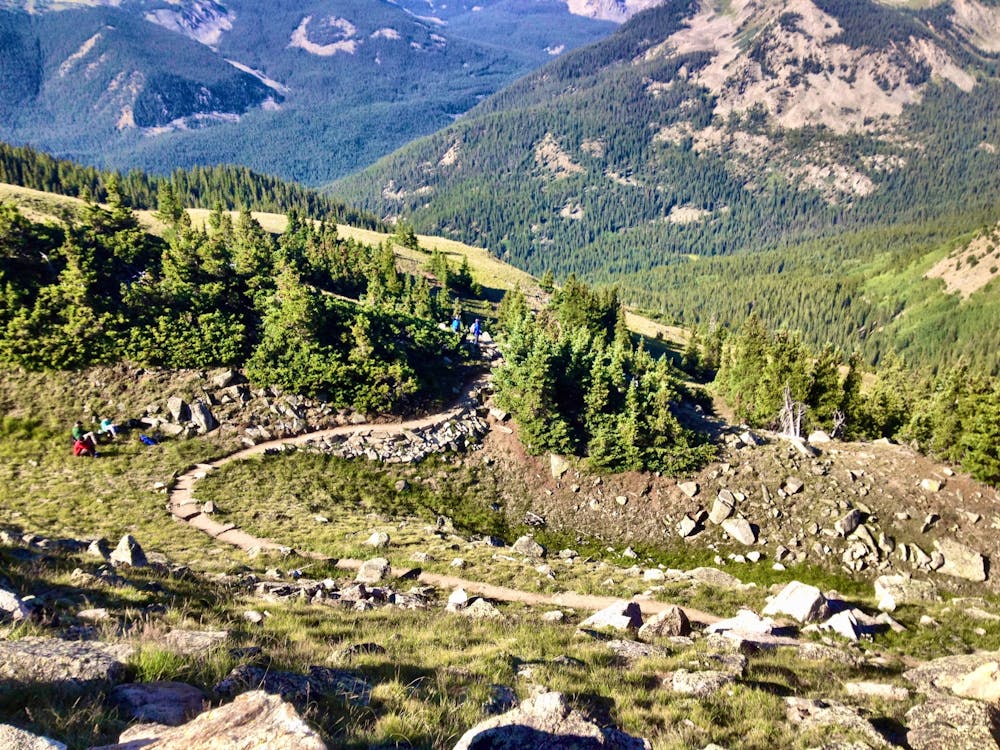
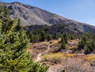
The most popular route begins from the Denny Creek trailhead, switchbacking back and forth through the trees. After turning onto the trail toward Yale's summit, the singletrack gets narrower and less trodden.
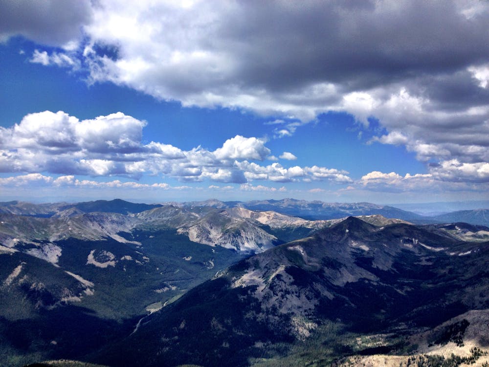
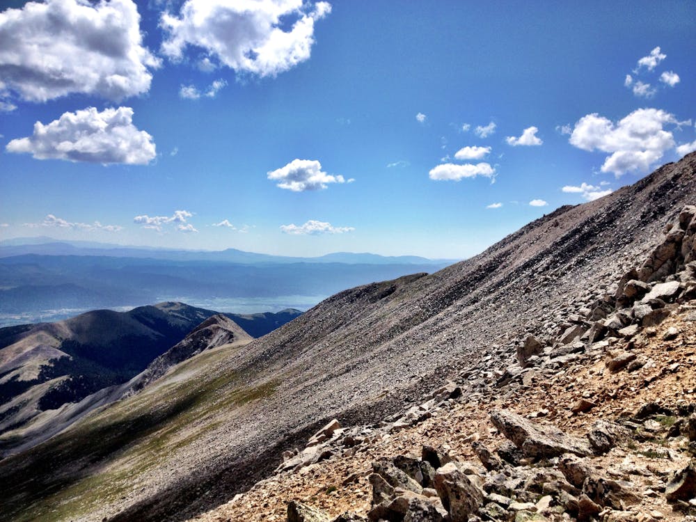
The route breaks out above tree line into a beautiful valley well below the summit, meaning hikers spending a significant amount of time above tree line on this route. Here, the trail begins to switchback back and forth in earnest, with recent trail improvements providing stone steps to help with the climb.
The steepest pitch up the upper face is a difficult climb indeed. While switchbacks have been built into the mountainside, the steep grade and the sliding scree make for a challenging ascent to gain the ridge.
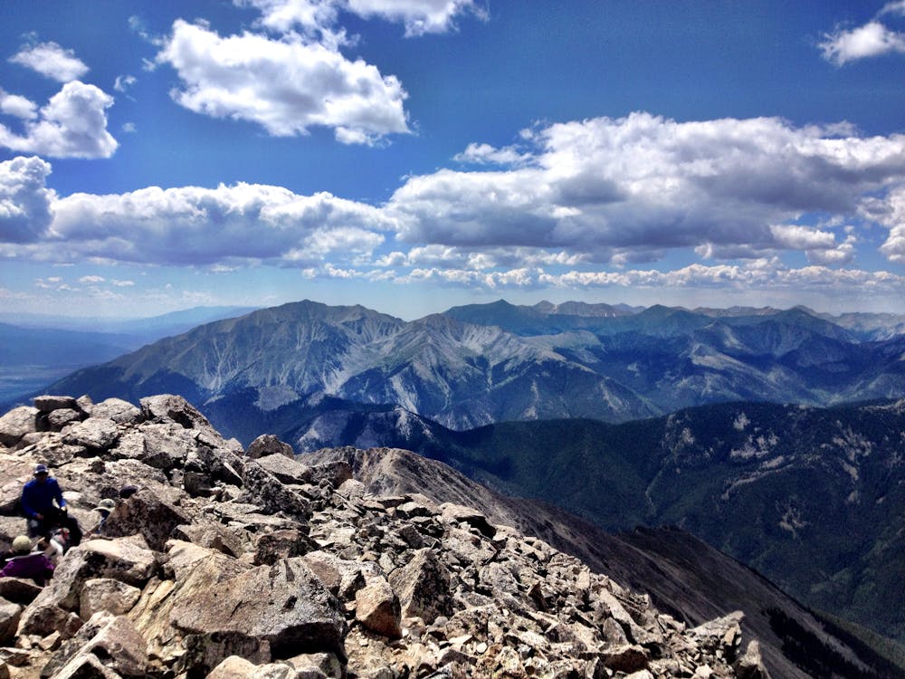
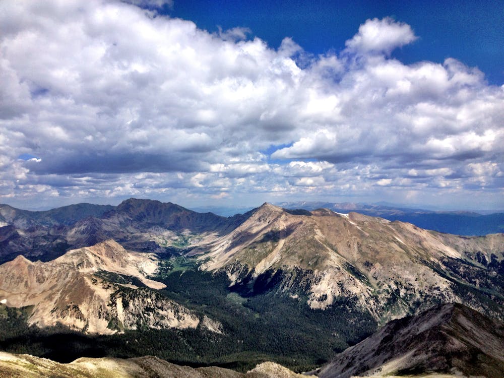
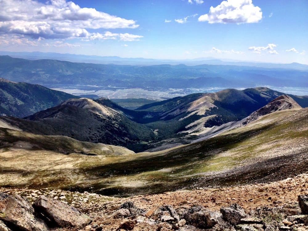
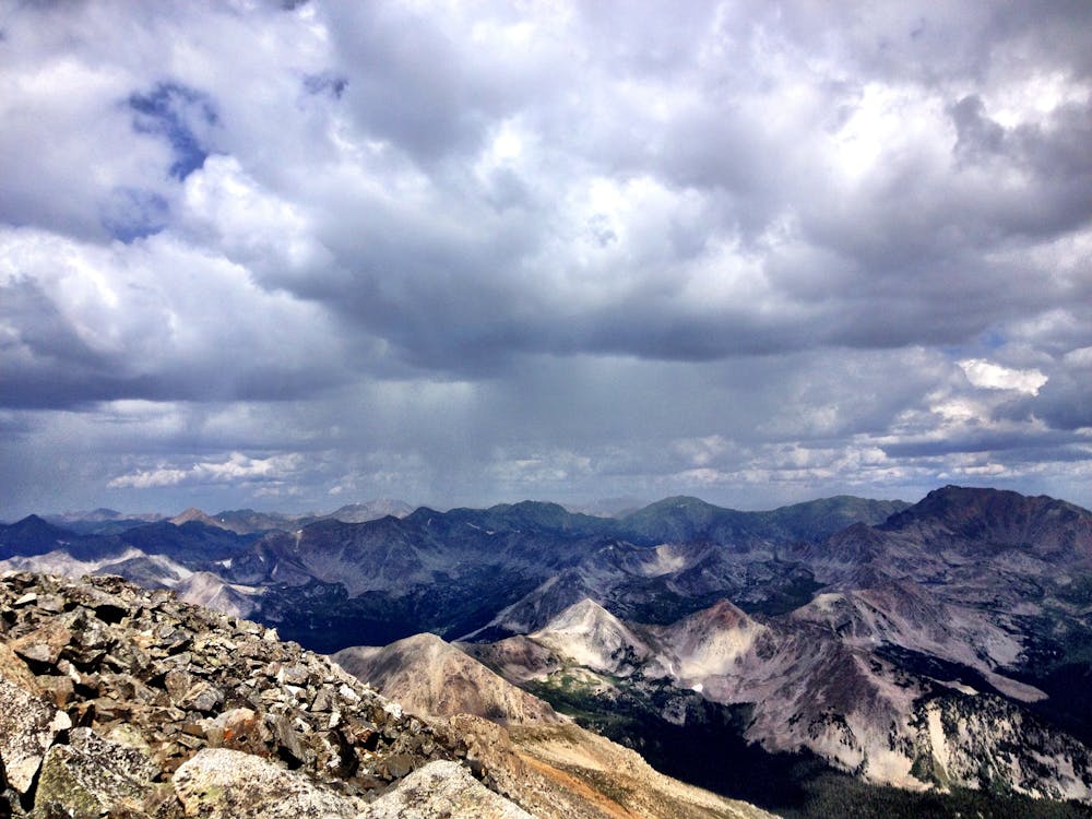
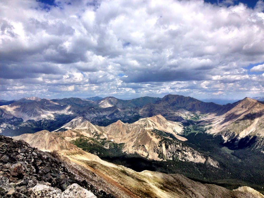
Once on top of the ridge the steepest climb may be over, but a sea of massive boulders requiring full-bore scrambling still stands between you and the summit. While none of the scrambling is extremely technical or exposed, you'll have to fully engage all of your limbs to reach the gorgeous 360-degree view from the mountain's summit.
Extreme
Scrambling up mountains and along technical trails with moderate fall exposure. Handholds are necessary to navigate the trail in its entirety, although they are not necessary at all times. Some obstacles can be very large and difficult to navigate, and the grades can often be near-vertical. The challenge of the trail and the steepness of the grade results in very strenuous hiking. Hikes of this difficulty blur the lines between "hiking" and "climbing".

The trail contains some obstacles such as outcroppings and rock which could cause injury.

Little chance of being seen or helped in case of an accident.
Hike to an alpine lake deep in the Collegiate Peaks Wilderness.
Difficult Hiking
3.7 km away
A popular 3-mile hike to a beautiful alpine lake.
Moderate Hiking
8.6 km away
This 14-mile roundtrip hike to the 14,420' summit of Mt. Harvard, complete with a final scramble up the summit-block, is truly a top-notch 14er experience!
Extreme Hiking
8.6 km away
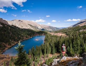
This alpine lake provides options from day hike to shuttle hike to backpacking destination.
Difficult Hiking
8.6 km away
This high alpine lake sits below 14,420' Mt. Harvard.
Difficult Hiking

16 routes · Hiking
5 routes · Alpine Climbing · Hiking