Kroenke Lake
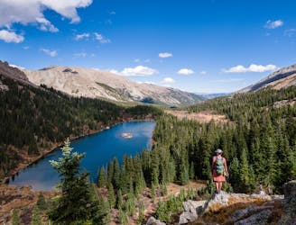
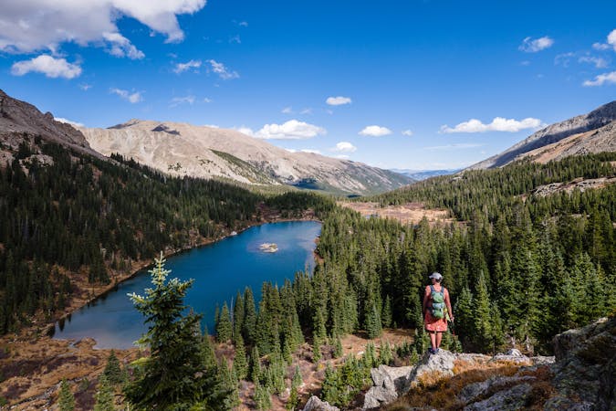
This alpine lake provides options from day hike to shuttle hike to backpacking destination.
Difficult Hiking
- Distance
- 14 km
- Ascent
- 512 m
- Descent
- 512 m

This high alpine lake sits below 14,420' Mt. Harvard.
Hiking Difficult

Access to Bear Lake is from the North Cottonwood trailhead. The trailhead is at the end of CR365, a dirt road accessible by most vehicles, except during the winter when it is not plowed.
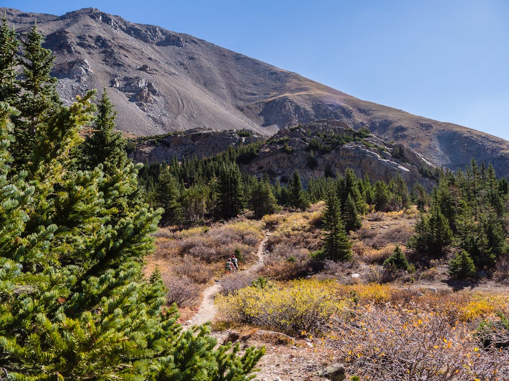
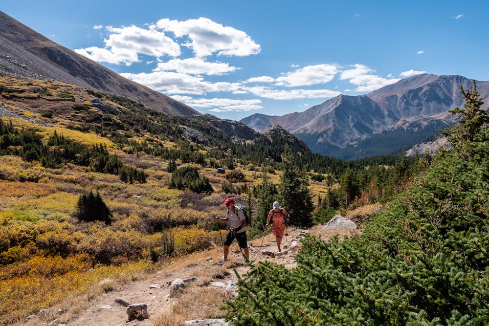
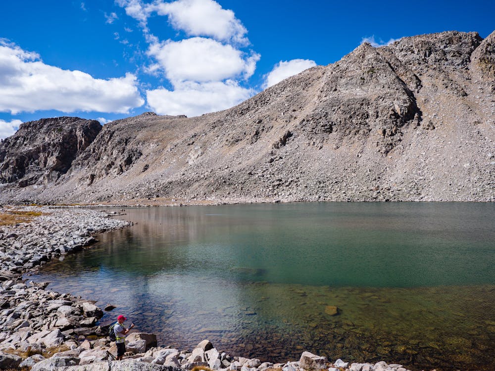
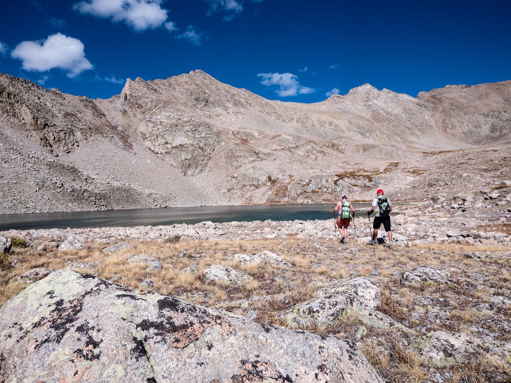
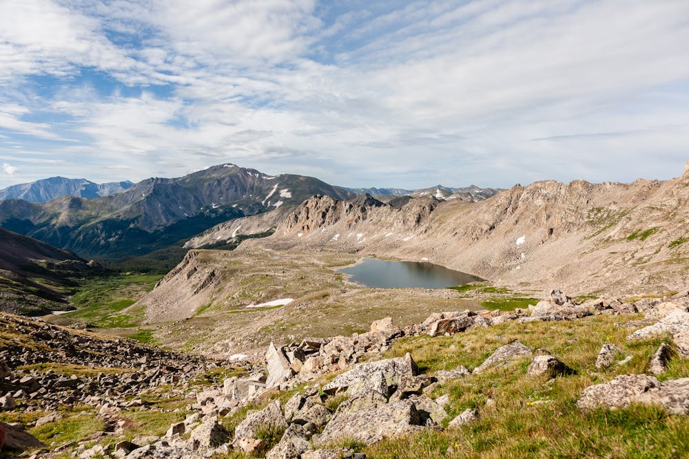
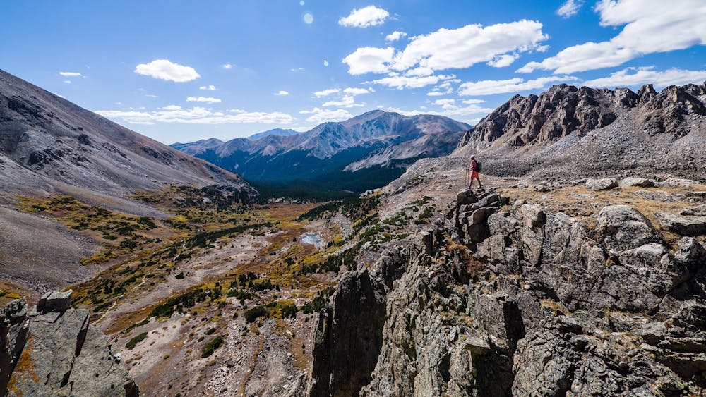
The first 1.7 miles is a mellow stroll on the shared access to Kroenke Lake. It follows a wide, smooth trail that gains little elevation next to the lovely, gurgling North Cottonwood Creek. At 1.7 miles, the trail splits at a signed junction where the Kroenke Lake trail heads left, and continues on to take hikers into Horn Fork Basin and Bear Lake, as well as routes to 14ers Mt. Harvard and Mt. Columbia.
After passing the split with the Kroenke Lake Trail, the elevation gains gradually for the most part, with an occasional stretch that increases one's heart rate. As the trail travels through the trees, the tread alternates between smooth and easy and rocky steps. In the spring, it includes a LOT of potentially deep, slick mud; be prepared to walk directly through the mud to avoid widening the trail!
The route passes the “under construction” Colorado Fourteeners Initiative (CFI) re-route of the trail to 14,073 Mt. Columbia, due to be complete in 2020. When finished, the new trail will be yet another reason to head to Horn Fork basin.
Breaking into the basin provides stunning views for the remainder of the hike, as the trail takes hikers through willows and across the creek several times. The basin is a frequent destination for backpackers as it allows access to two 14ers in addition to Bear Lake, so there are numerous tent sites scattered about.
In the summer, the hike to Bear Lake is likely to be shared with climbers en route to Mt. Harvard's summit. After the hike increases in steepness, be sure to look for the split that goes left to Bear Lake at around 5 miles in; continuing straight goes to Harvard.
After taking a left at the split, it is less than ½-mile to Bear Lake. There are plenty of options to get a bird's-eye view of the lake before arriving at Bear Lake proper. Take a moment to look over at the gnarly ridge that spans from Harvard's summit to Columbia's summit before descending to a perfect location for a relaxing shore lunch.
Difficult
Hiking trails where obstacles such as rocks or roots are prevalent. Some obstacles can require care to step over or around. At times, the trail can be worn and eroded. The grade of the trail is generally quite steep, and can often lead to strenuous hiking.

This alpine lake provides options from day hike to shuttle hike to backpacking destination.
Difficult Hiking
1 m away
This 14-mile roundtrip hike to the 14,420' summit of Mt. Harvard, complete with a final scramble up the summit-block, is truly a top-notch 14er experience!
Extreme Hiking
5 km away
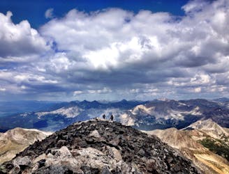
Avoid the crowds and utilize route finding skills by trekking the East Ridge route to summit 14,073' Mt. Columbia.
Extreme Hiking
8.6 km away
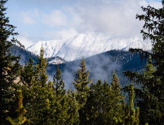
Buena Vista's backyard 14er offers a challenging climb with a rewarding summit view.
Extreme Hiking
8.6 km away
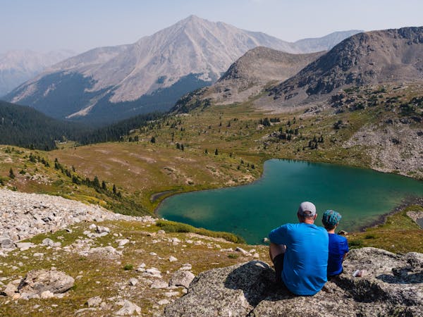
Hike to an alpine lake deep in the Collegiate Peaks Wilderness.
Difficult Hiking
16 routes · Hiking
5 routes · Alpine Climbing · Hiking