7 km away
Wetterhorn Peak
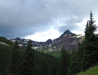
A stunning pyramid-shaped rock formation towering over 14,000 feet!
Extreme Hiking
- Distance
- 9.7 km
- Ascent
- 993 m
- Descent
- 993 m
Climb the highest peak on the Western Slope!
Hiking Extreme

At 14,314 feet above sea level, Uncompahgre Peak is "the 6th highest mountain in Colorado" and the highest peak on Colorado’s Western Slope, according to Kilimanjaro1 on SummitPost.org. Despite being the tallest peak in the San Juans, it’s actually one of the least technical summits in the region. While the hike is relatively non-technical, at 14 miles round-trip with over 4,500 feet of elevation gain (and loss), Uncompahgre is still a very aerobically-strenuous climb and will make for a long day out in the mountains.
The long hike begins with a slog up Nellie Creek that some hikers find uninteresting. The route gets more entertaining as you break out of the treeline and approach the summit ridge. To reach the final ascent, you’ll have to brave the crux of the route: "150 feet of steep, loose rock below the upper slopes,” according to 14ers.com.
"Right before the final summit ridge stretch there is a small portion of the trail that might be 2+ as the trail dodges cliffs between 13,800 and 14,000 feet,” according to Kilimanjaro1. Despite the technical cliff-dodging, the trail is well-defined and easy to navigate.
Once on top of the mountain, enjoy the expansive views of the San Juans! To experience one of the most epic vistas, Kilimanjaro1 recommends that you "lie down and look right over the edge.” Just be careful: “don't get too close to the edge while you are standing… it's a long ways straight down."
Sources: https://www.summitpost.org/uncompahgre-peak/150203 https://www.14ers.com/photos/peakmain.php?peak=Uncompahgre+Peak
Extreme
Scrambling up mountains and along technical trails with moderate fall exposure. Handholds are necessary to navigate the trail in its entirety, although they are not necessary at all times. Some obstacles can be very large and difficult to navigate, and the grades can often be near-vertical. The challenge of the trail and the steepness of the grade results in very strenuous hiking. Hikes of this difficulty blur the lines between "hiking" and "climbing".

The trail contains some obstacles such as outcroppings and rock which could cause injury.

In the high mountains or remote conditions, all individuals must be completely autonomous in every situation.
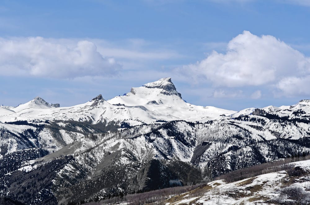
7 km away
A stunning pyramid-shaped rock formation towering over 14,000 feet!
Extreme Hiking