7 km away
Uncompahgre Peak
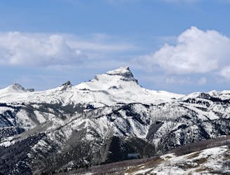
Climb the highest peak on the Western Slope!
Extreme Hiking
- Distance
- 12 km
- Ascent
- 874 m
- Descent
- 874 m
A stunning pyramid-shaped rock formation towering over 14,000 feet!
Hiking Extreme

Note: this route warrants a "Moderate" Mountaineering difficulty rating.
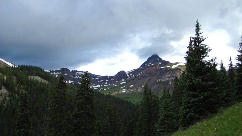
Wetterhorn Peak is a towering pyramid-shaped 14er in the San Juan Range that soars to 14,015 feet above sea level. This Colorado mountain is named for the Swiss peak in the Bernese Alps that it resembles.
This rocky mountain requires a technical ascent to reach the summit, "requiring 3rd class scrambling by its easiest route," according to Chicagotransplant on SummitPost.org. Thankfully, most of the scrambling is on good-quality rock that you can generally trust, without too much exposure. This Class 3 scrambling earns the route a "Moderate" FATMAP mountaineering difficulty rating.
The Southeast Ridge is the most common route to the top of Wetterhorn Peak. To complete this route, begin on the easy-to-follow approach trail, and then turn left onto the Wetterhorn trail near 12,000 feet of elevation, according to 14ers.com. This trail leads you to a saddle at 13,100 feet.
From the saddle, you'll follow the ridge toward the summit. The rest of the climb gets progressively more technical, with route-finding required. You'll have to "navigate around some towers, over a class 3 rib, and up a class 3 gully," according to Chicagotransplant. The final push to the summit requires a solid 150 feet of Class 3 scrambling.
Congratulations, you've made it to the summit of Wetterhorn Peak!
Sources: https://en.wikipedia.org/wiki/WetterhornPeak https://www.summitpost.org/wetterhorn-peak-colorado/150331 https://www.14ers.com/route.php?route=wett1&peak=Wetterhorn+Peak
Extreme
Scrambling up mountains and along technical trails with moderate fall exposure. Handholds are necessary to navigate the trail in its entirety, although they are not necessary at all times. Some obstacles can be very large and difficult to navigate, and the grades can often be near-vertical. The challenge of the trail and the steepness of the grade results in very strenuous hiking. Hikes of this difficulty blur the lines between "hiking" and "climbing".

Some trail sections have exposed ledges or steep ascents/descents where falling could cause serious injury.

In the high mountains or remote conditions, all individuals must be completely autonomous in every situation.
7 km away
Climb the highest peak on the Western Slope!
Extreme Hiking