FATMAP by Strava

Colorado Trail: Kenosha Pass to Lost Creek Wilderness Out-and-Back

Salida

A scenic Colorado Trail segment that's worthy of its own out-and-back ride.

Mountain Biking Difficult

Distance
23 km
Ascent
656 m
Descent
656 m
Duration
2-3 hrs
Low Point
2.9 km
High Point
3.2 km
Gradient
Colorado Trail: Kenosha Pass to Lost Creek Wilderness Out-and-Back Map

The Colorado Trail (COT) is widely regarded as one of the very best long distance mountain bike trails in the world. Running for 535 miles between Denver and Durango, the trail crosses high alpine mountain passes and drops into beautiful valleys as it traverses the most beautiful portions of the state of Colorado. The COT forms one third of the Triple Crown of Bikepacking, along with the Arizona Trail and the Great Divide Mountain Bike Route.

Description

The section of the trail running east from Kenosha Pass dead ends at the Lost Creek Wilderness boundary or connects to a gravel road bypass around the Wilderness, but even the short section between the pass and the Wilderness is well-worth riding as a quick out-and-back.

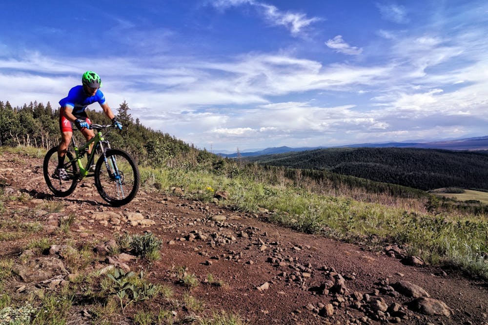
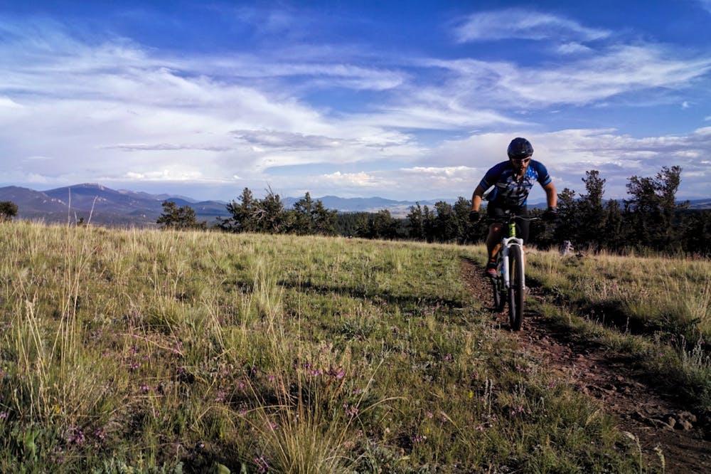
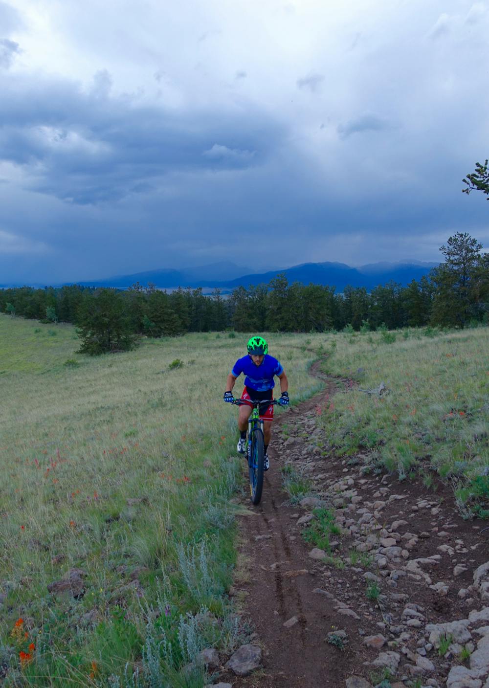
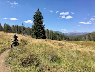
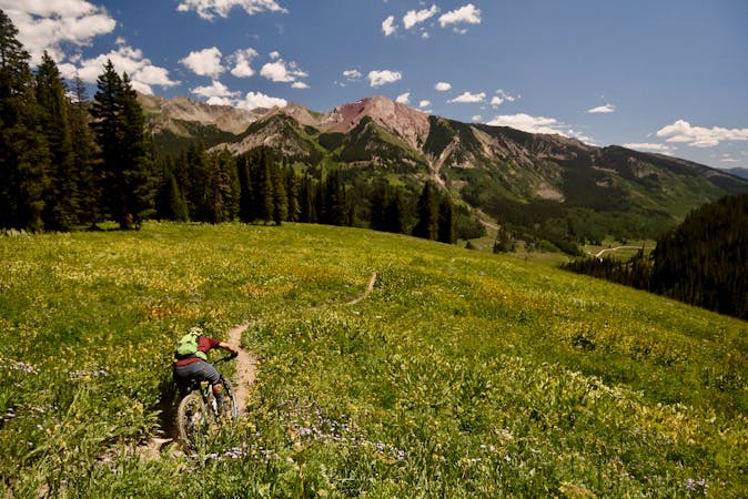
The trail tread is quite wide to begin, but quickly it narrows into sweet singletrack that breaks out into alpine meadows high above the South Park Valley, providing expansive views into the valley and of the mountains beyond.

Some technical rock gardens keep the riding from being too easy, but in between the swoop and flow of this trail is remarkable!

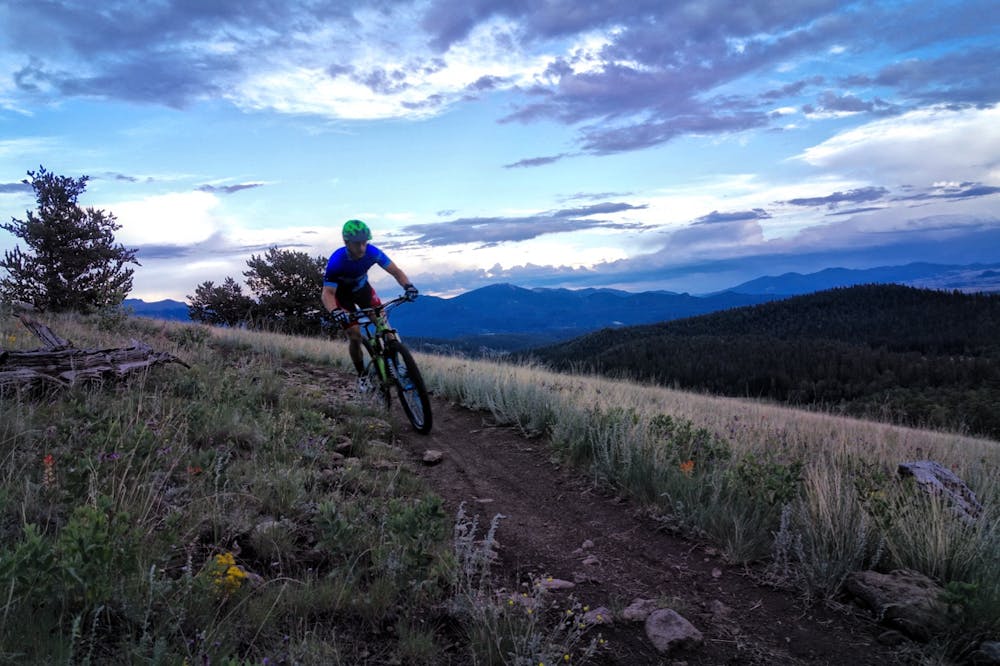
The trail climbs and descends several times before reaching the Wilderness, which means you’ll need to keep some gas in the tank to make it back up some steep climbs as you pedal back to the top of Kenosha Pass.

Difficulty

Difficult

Mostly stable trail tread with some variability featuring larger and more unavoidable obstacles that may include, but not be limited to: bigger stones, roots, steps, and narrow curves. Compared to lower intermediate, technical difficulty is more advanced and grades of slopes are steeper. Ideal for upper intermediate riders.

Medium Exposure

2 out of 4

The trail contains some obstacles such as outcroppings and rock which could cause injury.

Remoteness

2 out of 4

Away from help but easily accessed.

Best time to visit

between June and October

Features

  • Flow
  • Technical
  • Roots
  • Rock Gardens

Similar routes nearby

Guidebooks in this area