9 km away
Buck Gulch -> Strawberry Jack Loop
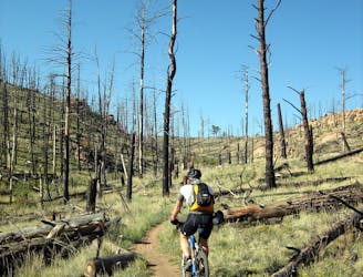
Access the Buffalo Creek trail system from an underutilized trailhead.
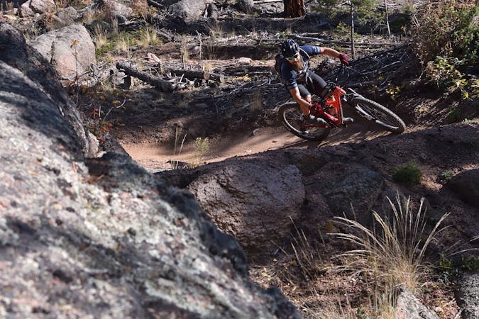
Moderate Mountain Biking
- Distance
- 12 km
- Ascent
- 398 m
- Descent
- 398 m
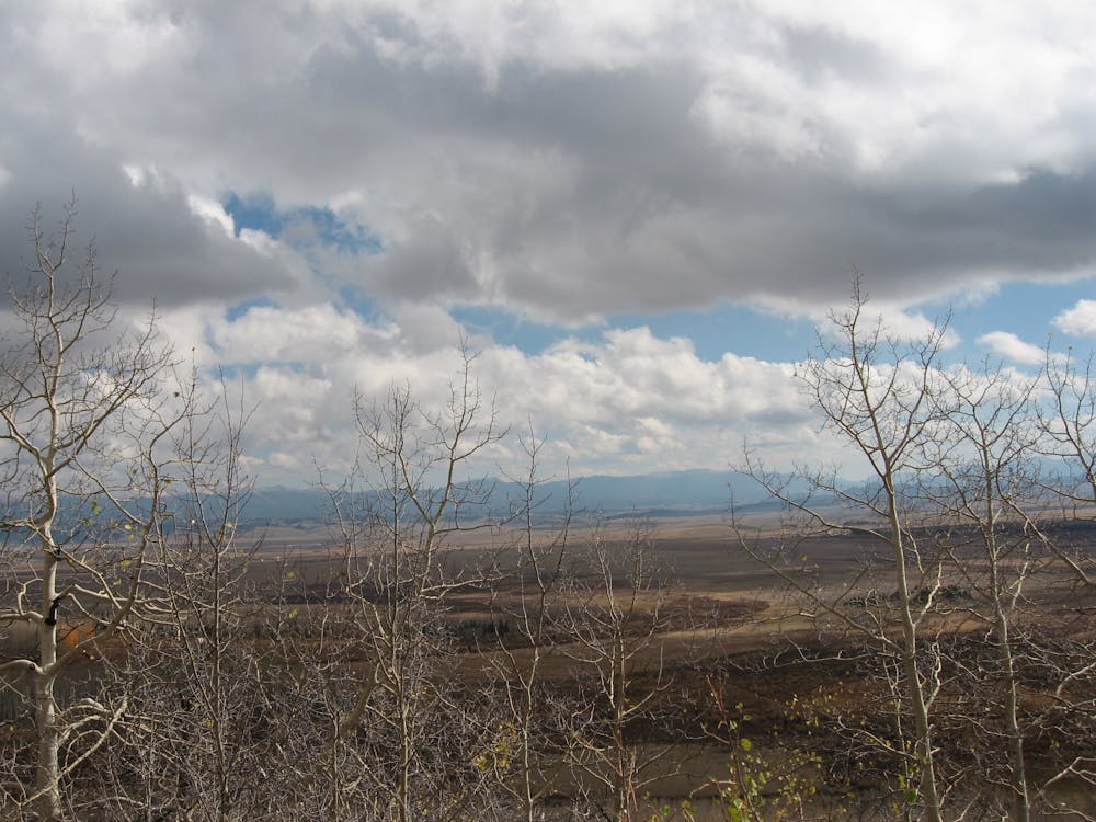
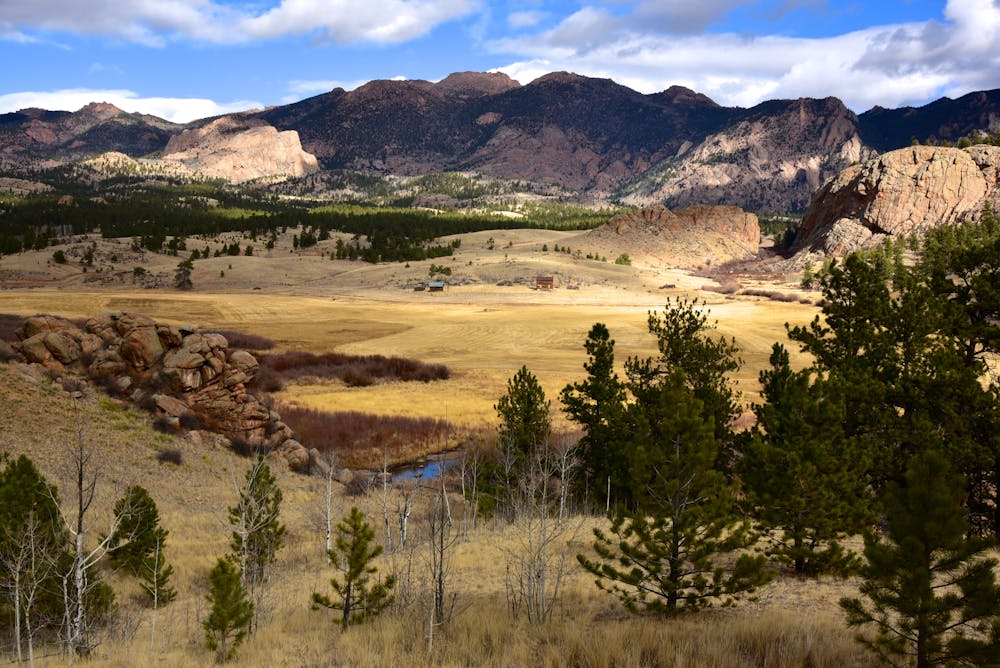
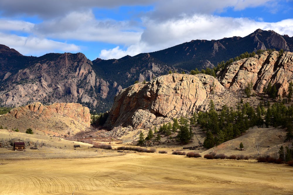
A gravel road portion of the route along the edge of the expansive South Park Valley.
Mountain Biking Easy
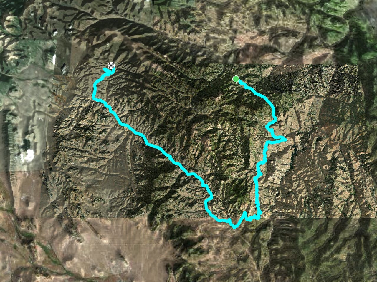
The Colorado Trail (COT) is widely regarded as one of the very best long distance mountain bike trails in the world. Running for 535 miles between Denver and Durango, the trail crosses high alpine mountain passes and drops into beautiful valleys as it traverses the most beautiful portions of the state of Colorado. The COT forms one third of the Triple Crown of Bikepacking, along with the Arizona Trail and the Great Divide Mountain Bike Route.
Since mountain bikes are currently banned from Wilderness areas in the United States, riders must detour around the Lost Creek Wilderness using this route to regain the singletrack COT just northeast of Kenosha Pass.
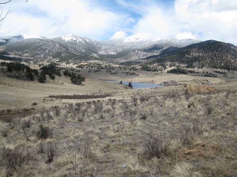
This reroute follows dirt roads south from the Buffalo Creek area, dropping into the wide-open, beautiful, and remote South Park Valley. Despite being on gravel road instead of singletrack, the scenery here is wild and beautiful.
Easy
Mostly smooth and non-technical singletrack with unavoidable obstacles 2in/5cm tall or less. Avoidable obstacles may be present. Ideal for beginner riders.

The trail contains some obstacles such as outcroppings and rock which could cause injury.
Away from help but easily accessed.
9 km away
Access the Buffalo Creek trail system from an underutilized trailhead.
Moderate Mountain Biking

26 routes · Mountain Biking
6 routes · Mountain Biking