7.7 km away
Crystal Peak -> Hunters Creek Lollipop
A challenging climb to one of the highest points near Crested Butte leads to a fantastic downhill.
Severe Mountain Biking
- Distance
- 31 km
- Ascent
- 1.1 km
- Descent
- 1.1 km
The classic shuttle on Doctor Park, accessible by a 2WD vehicle.
Mountain Biking Severe

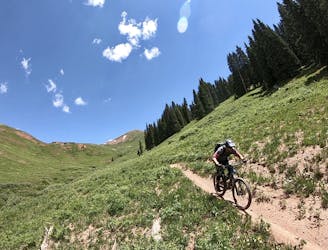
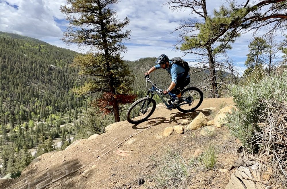
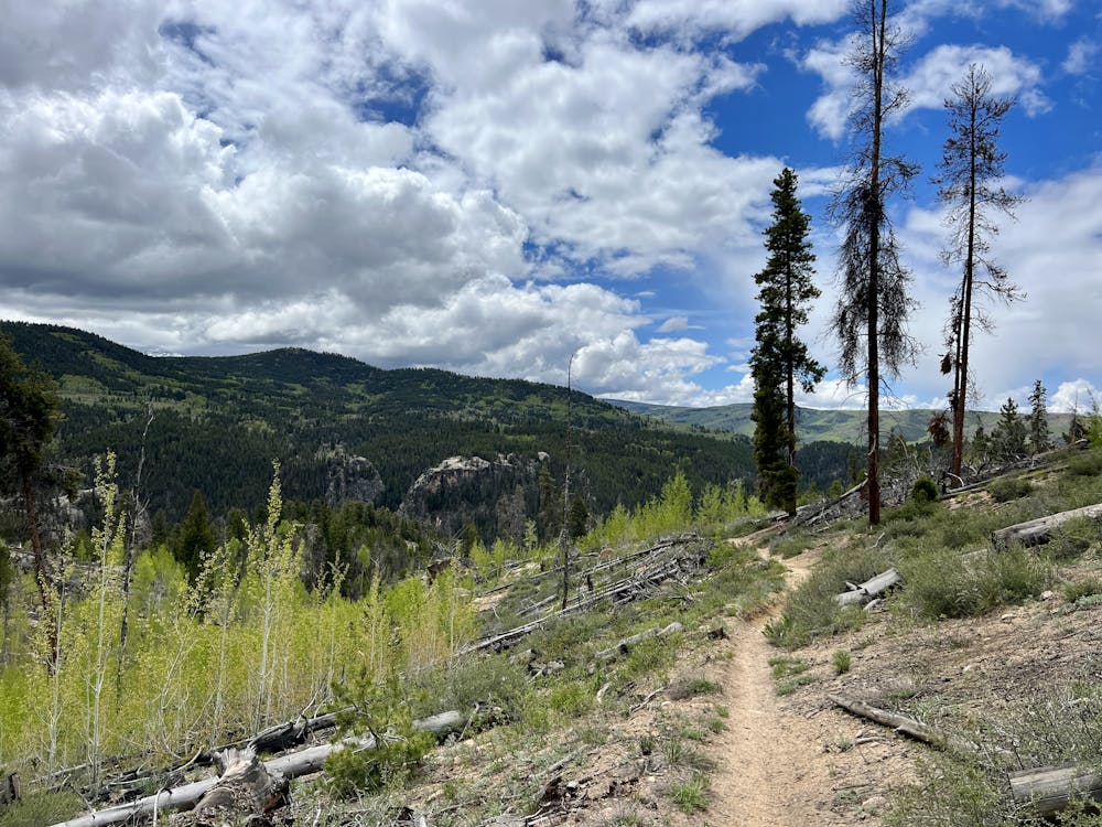
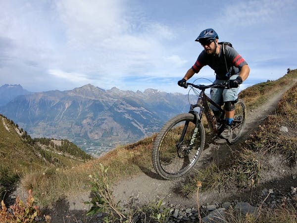
The Doctor Park singletrack plummets from its high elevation start through a high alpine meadow, into an aspen grove, and down into pines and a dry climate zone at lower elevation, making it one of the most raucous and entertaining backcountry descents not only in Crested Butte, but in the United States!
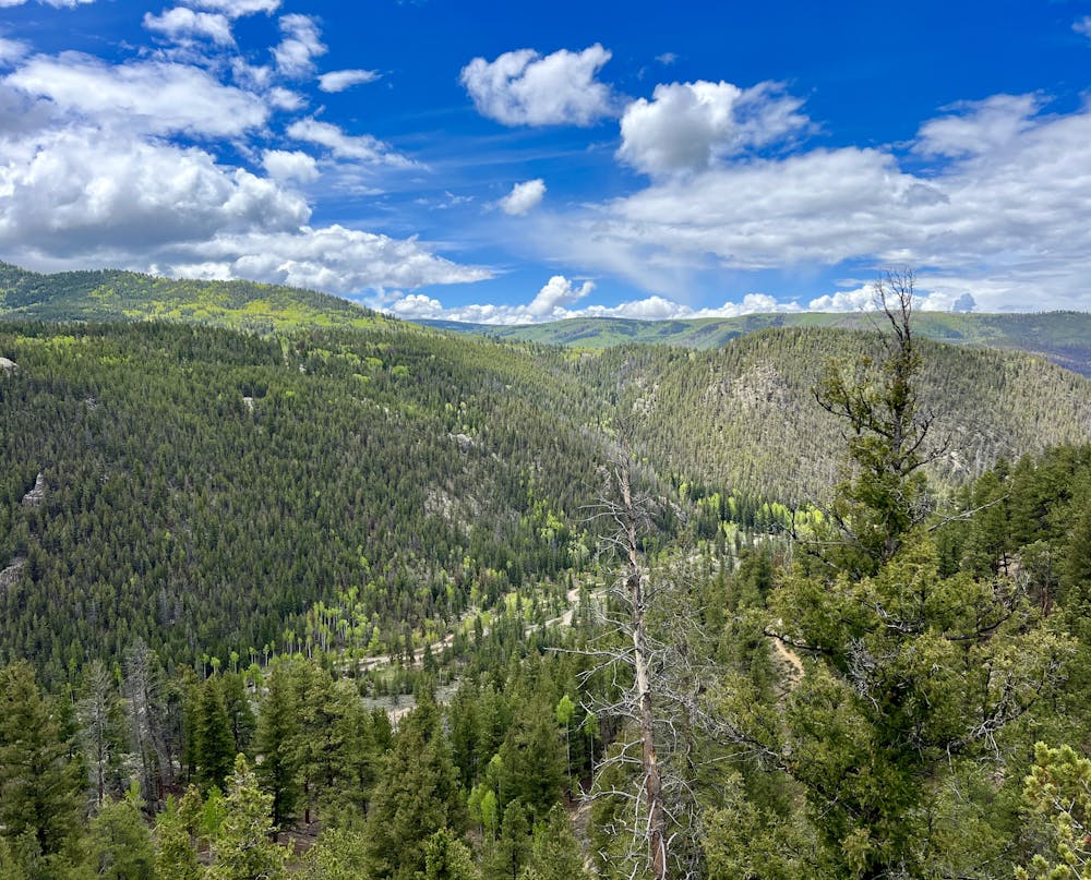
The route shown here is the classic shuttle run for Doctor Park that's accessible by two wheel drive vehicles. This shuttle route cuts out a lengthy climb up the Spring Creek Road that can be arduous on a mountain bike.
If you have a high-clearance vehicle, you can also take the right turn onto the green line shown here, ford the rushing mountain stream, and drive up the steep 4x4 road to the very top, make this ride even shorter and cutting out almost all of the climbing entirely. But again, you'll have to have a pair of capable offroad vehicles for that endeavor. Instead, you can simply choose to pedal that difficult 4x4 road section on your mountain bike, as shown here.
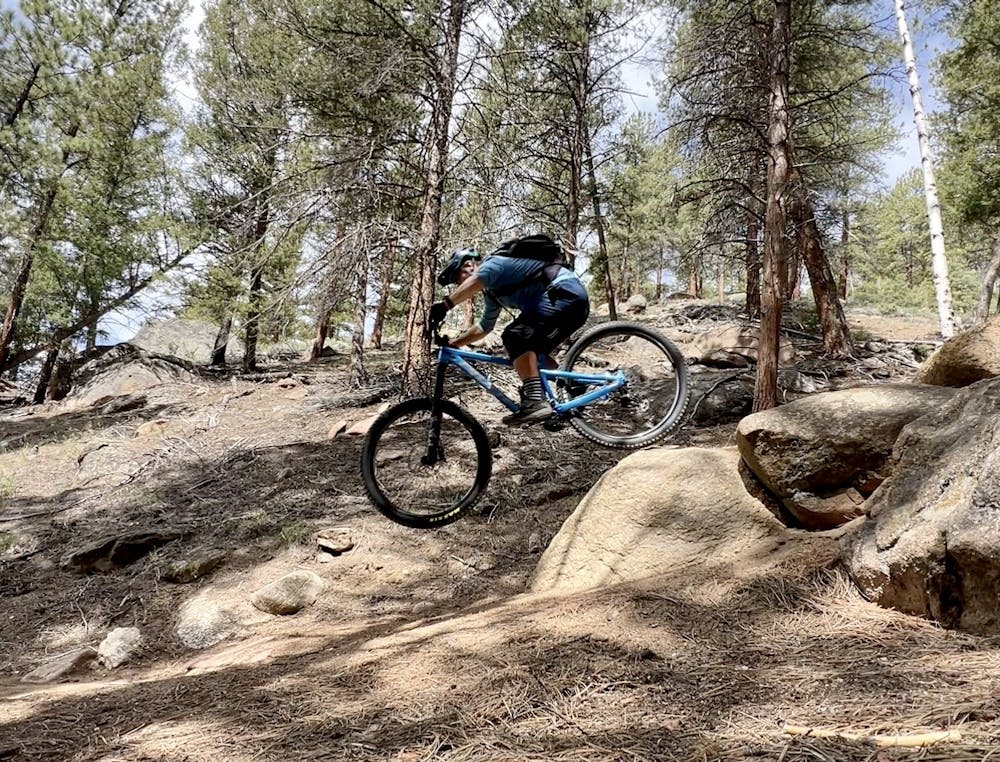
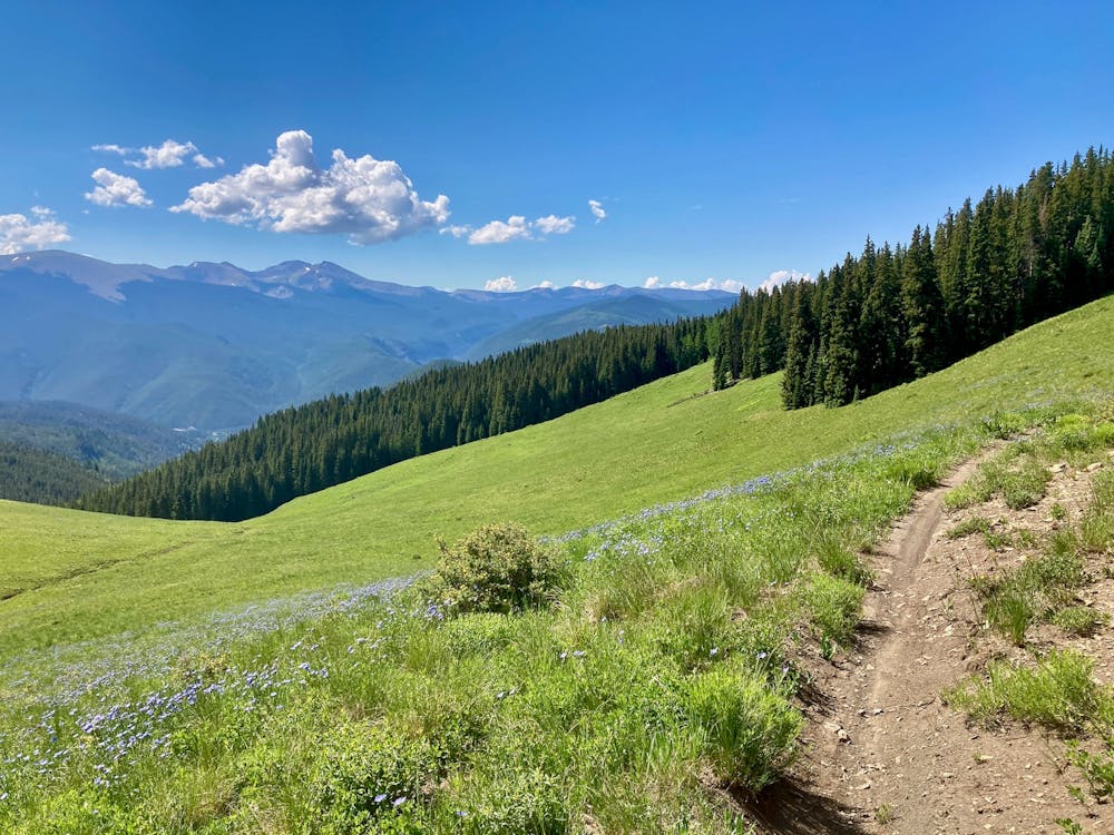
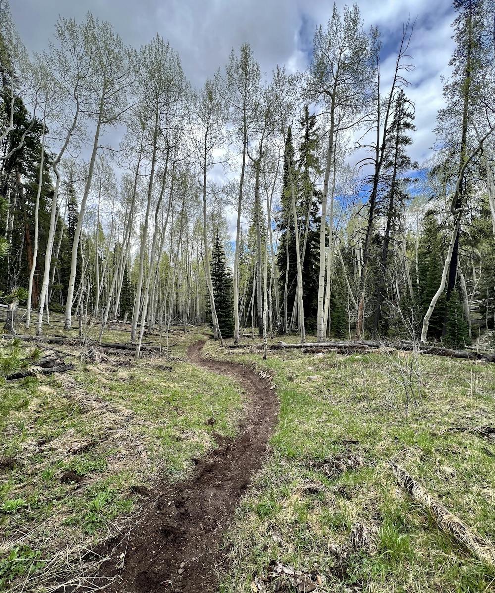
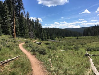
The Doctor Park singletrack begins in an alpine pine forest, with the optional loop swinging out of the forest into a beautiful high alpine meadow with stunning views of the surrounding mountains.
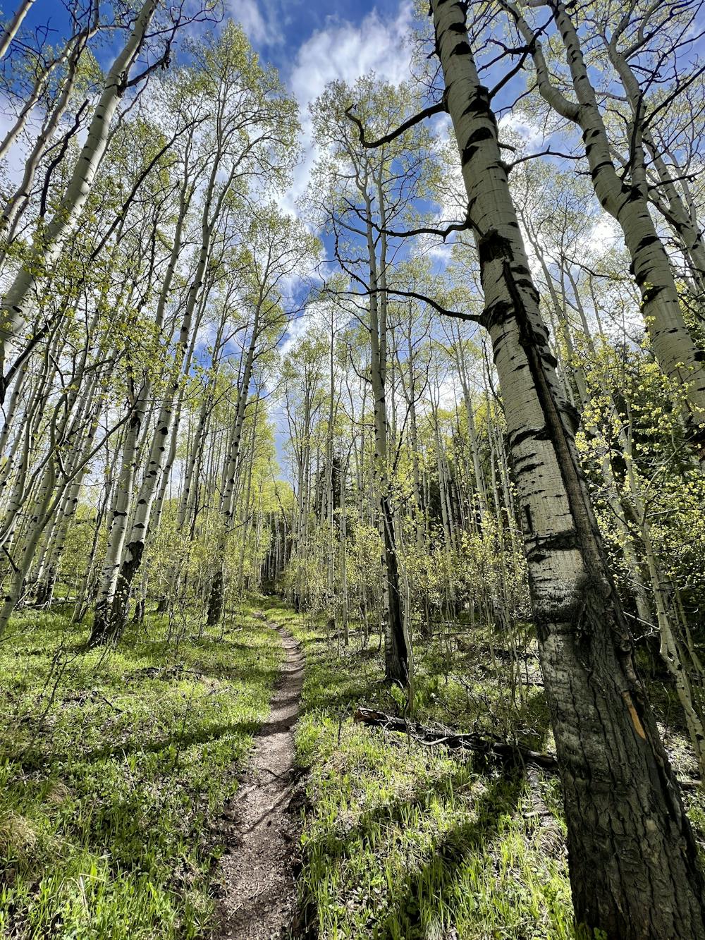
Once the trail turns downward, it drops fast and furious! The straight section through the high alpine meadow blurs by, entering an aspen grove. The aspens' blurred appearance from the speed have led locals to affectionately name this section "Star Wars."
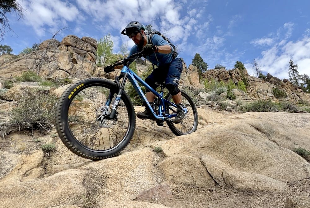
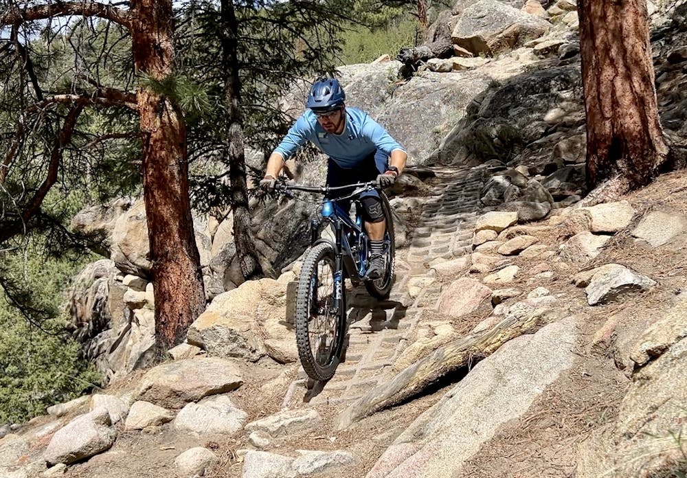
Once the trail enters the trees it gets progressively more and more technical. Up high, bigger boulders, trenched-out sections, and ledgy drops requires riders searching for speed to air out sections to smooth the trail. As the trail descends the soil gets progressively drier and rockier, and the drops get bigger--with some ~4+ foot drops lower down. Most of the biggest drops can be rolled or bypassed.
High speed straight-line descending filled with boulder fields, drops, roots, and more -- what's not to love?! Bring as much suspension as you own and rip into this iconic descent!
Severe
Widely variable, narrow trail tread with steeper grades and unavoidable obstacles of 15in/38cm tall or less. Obstacles may include unavoidable bridges 24in/61cm wide or less, large rocks, gravel, difficult root sections, and more. Ideal for advanced-level riders.

Some trail sections have exposed ledges or steep ascents/descents where falling could cause serious injury.
Little chance of being seen or helped in case of an accident.
7.7 km away
A challenging climb to one of the highest points near Crested Butte leads to a fantastic downhill.
Severe Mountain Biking
7.7 km away
A fantastic cross country singletrack loop passing through remote terrain, with gorgeous views along the way. Arguably one of the best-quality loop rides in Crested Butte.
Difficult Mountain Biking
12 routes · Mountain Biking

25 routes · Mountain Biking
10 routes · Mountain Biking