3 m away
Twin Lakes Loop
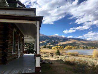
Arguably the most scenic beginner-friendly ride in the High Rockies region.
Easy Mountain Biking
- Distance
- 23 km
- Ascent
- 322 m
- Descent
- 322 m

Known locally as simply the "Twin Lakes Trail," this poorly-signed singletrack trail is completely legal yet gets little use. That doesn't mean it isn't worth riding, though: beautiful bench cut singletrack breaks out into open spots along the ridge providing jaw-dropping views of the lakes and the mountains all around. Where the singletrack ducks back into the trees, tight and twisty track crosses rushing mountain streams on dark, loamy dirt.
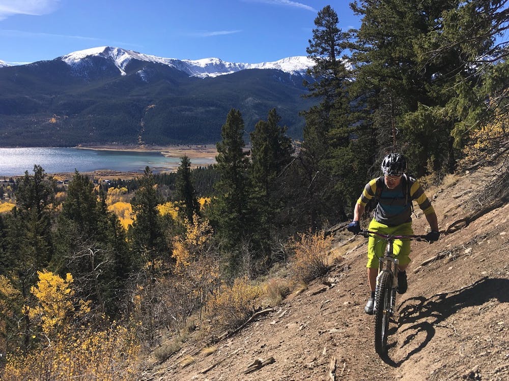
This trail is accessed from Twin Lakes via a stiff dirt road climb. On the other end, it connects to the Colorado Trail. As a result, this spur offers a great option for thru riders on the Colorado Trail who wish to drop into the town of Twin Lakes to restock on provisions. This connector trail can form a short loop with the Colorado Trail, or a more adventurous add-on to the standard Twin Lakes Loop.
Difficult
Mostly stable trail tread with some variability featuring larger and more unavoidable obstacles that may include, but not be limited to: bigger stones, roots, steps, and narrow curves. Compared to lower intermediate, technical difficulty is more advanced and grades of slopes are steeper. Ideal for upper intermediate riders.

Some trail sections are extremely exposed where falling will almost certainly result in serious injury or death.

Away from help but easily accessed.
3 m away
Arguably the most scenic beginner-friendly ride in the High Rockies region.
Easy Mountain Biking
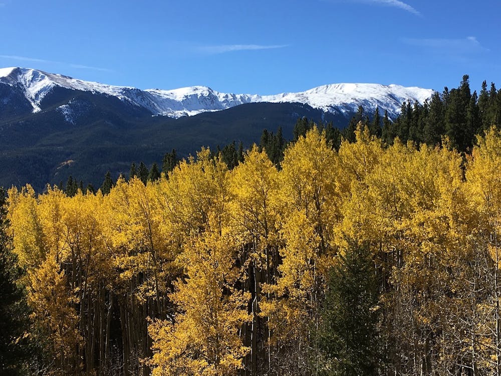
6.3 km away
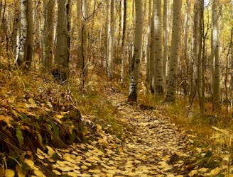
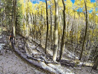
Pedal through a grove of towering aspen trees that turn a beautiful gold in the fall.
Moderate Mountain Biking
8.4 km away
A remote stretch of the Colorado Trail along the flanks of Mount Elbert.
Moderate Mountain Biking

26 routes · Mountain Biking