Guffey Huffer
A challenging 200km double loop through the Arkansas Hills region.
Extreme Road Biking
- Distance
- 204 km
- Ascent
- 3.2 km
- Descent
- 3.2 km
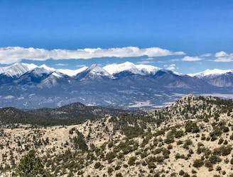
A gorgeous, challenging gravel loop from downtown Salida.
Road Biking Extreme

The Firebox Loop is a shorter version of the 200km Guffey Huffer. Instead of completing the second loop to Guffey, this route solely traverses the first full loop: from Salida, over the mountains, south to Cotopaxi, and back to Salida.
While the Guffey Huffer covers some incredible terrain, the Firebox Loop arguably hits all the highlights in a much more achievable distance. Note that I said “more” achievable: this route still requires pedaling 72 miles and climbing over 6,500 vertical feet!
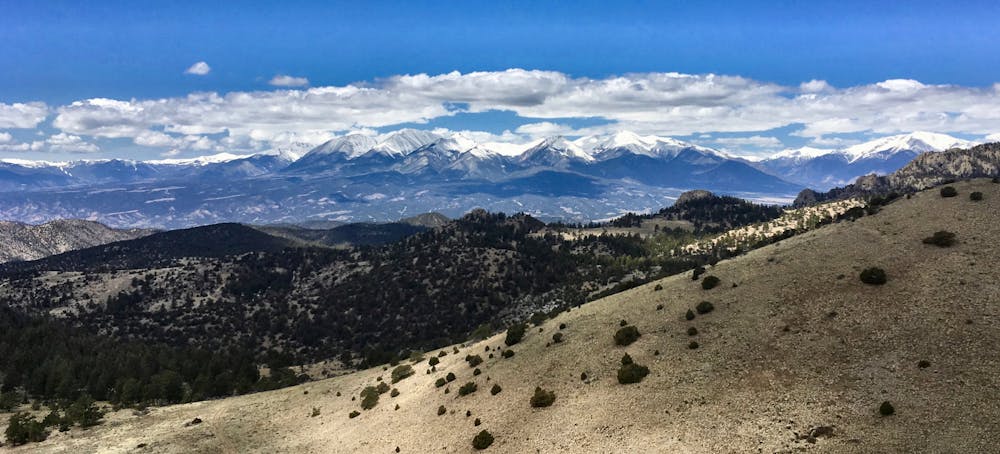
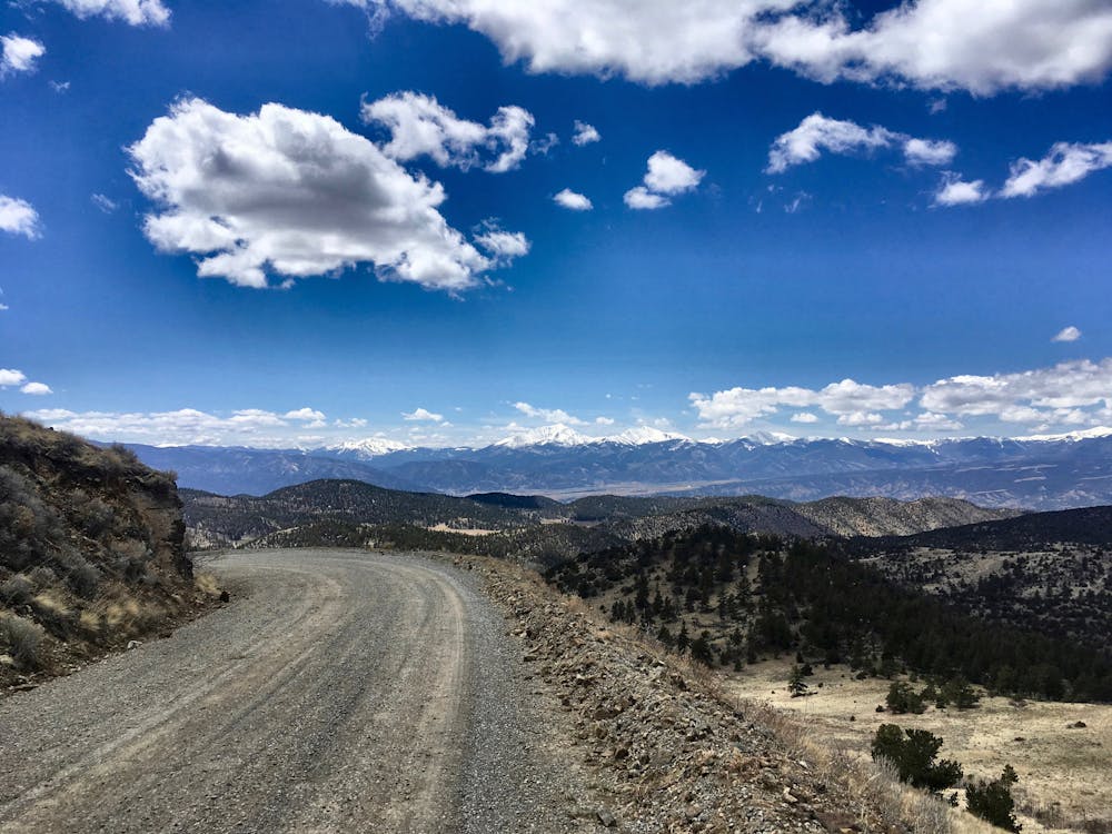
The Firebox Loop doesn’t take it easy on you—the first climb from the town of Salida high over the Arkansas Hills into Fremont County is the most difficult on the route! Once to the eastern side of the Arkansas Hills, the route rolls through wide-open prairie and low hills before turning left to again climb back into the lush, more vegetated mountains.
On the second mountain crossing you’ll pedal through beautiful aspen groves transitioning to pines as you cross the top of a mountain ridge, and begin to drop into a canyon. Once in the Canyon, you’ll descend all the way to Cotopaxi—the low point of the route.
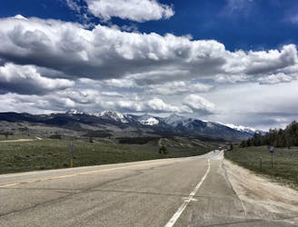
After a resupply in Cotopaxi, all that’s left is a gradual and scenic climb along the Arkansas River to return to Salida. While the climb is gradual, the roughest and rockiest portions of the route are found in the last 15 miles. Skillful bike handling on these rough roads is mandatory!
Source: https://coloradoes.wordpress.com/swes-event-list/ddf200k/
Extreme
A challenging 200km double loop through the Arkansas Hills region.
Extreme Road Biking
21 m away
A short but sweet road ride with wide shoulders to pedal on, and the option to extend down into the San Luis Valley.
Moderate Road Biking