21 m away
Firebox Loop
A gorgeous, challenging gravel loop from downtown Salida.
Extreme Road Biking
- Distance
- 115 km
- Ascent
- 2 km
- Descent
- 2 km
A short but sweet road ride with wide shoulders to pedal on, and the option to extend down into the San Luis Valley.
Road Biking Moderate

Numerous long distance road rides pass through the Arkansas Valley, and most of them run through Poncha Springs. After all, Poncha Springs is the “Crossroads of the Rockies.” The only problem is, many of the road rides that come through this area run along the most harrowing of roads—namely, Monarch Pass. Monarch is a worthy goal on the road bike, reaching a height of 11,312 feet on top of the Continental Divide, but with hundreds of cars crossing the pass every day in the height of summer, and no shoulder on the side of the road to speak of, it’s a death-defying bike ride. If you want a ride in the area with a little more room to breath, consider Poncha Pass instead.
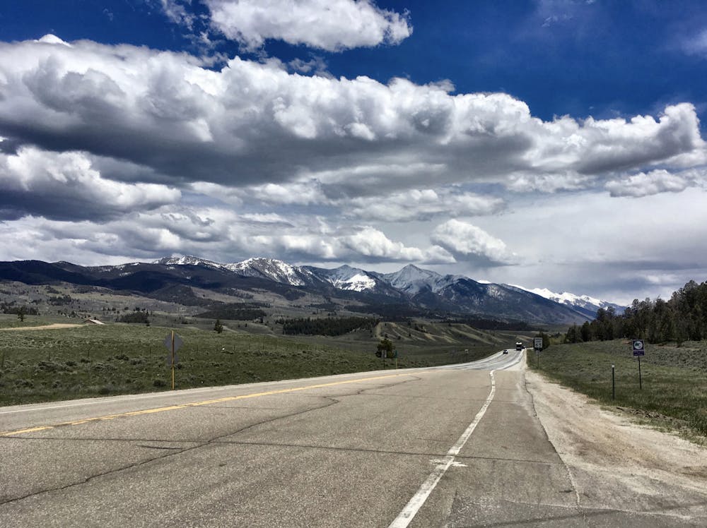
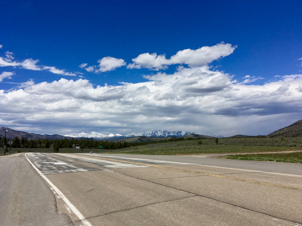
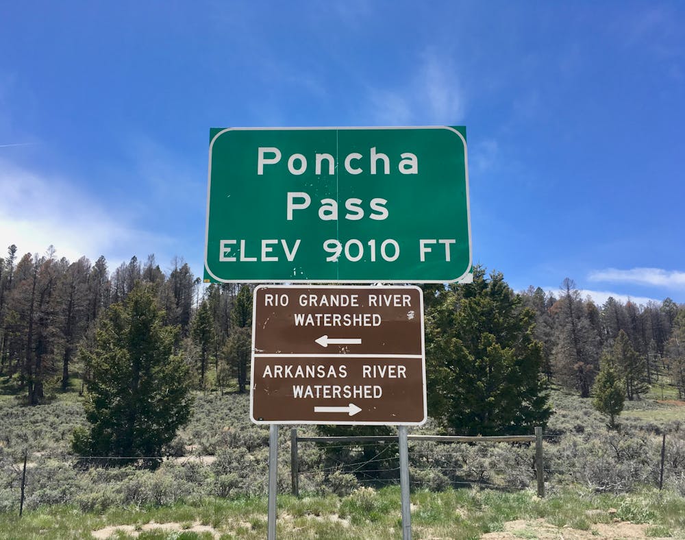
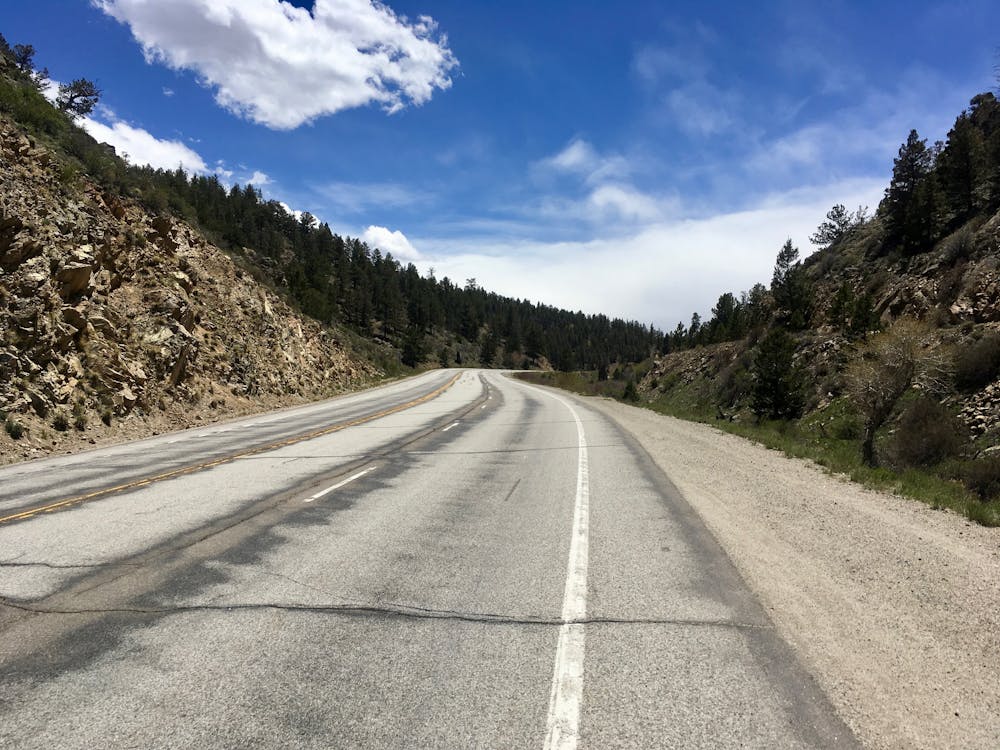
While Poncha Pass only barely breaks above 9,000 feet, this highway is much wider, with two lanes for uphill traffic… and a substantial shoulder to ride on. Cyclists have enough pavement to work with on the shoulder that there’s no reason to even use the traffic lanes—a true delight compared to most of the other roads in the area.
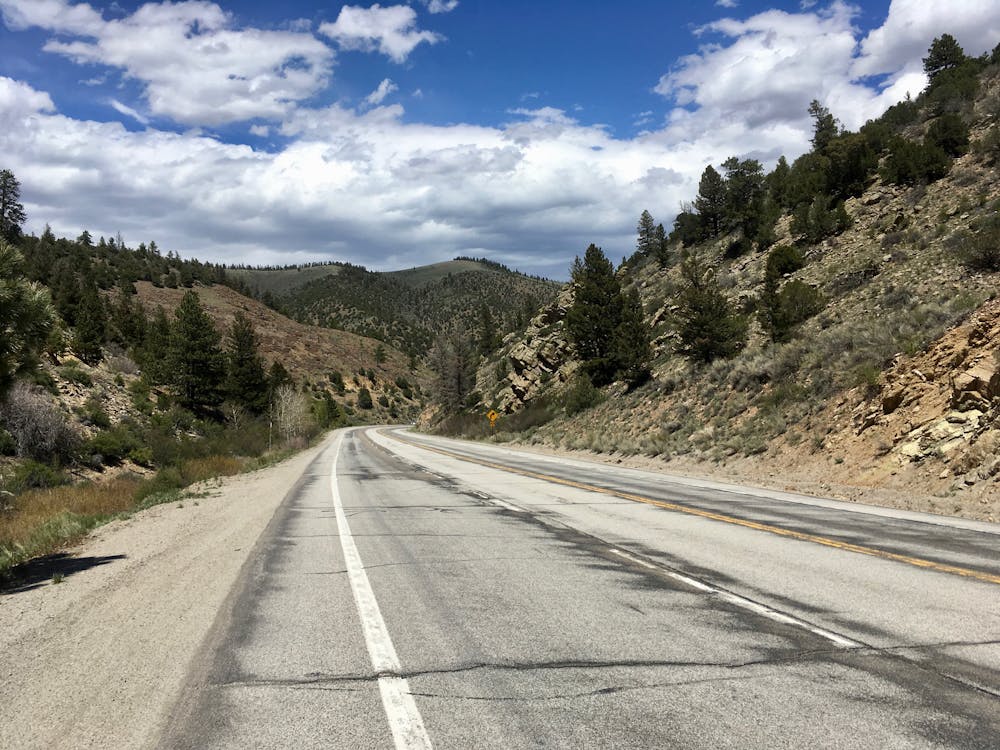
Poncha Pass road departs Poncha Springs and immediately begins climbing up a rocky canyon. Upon reaching a turn off to Marshall Pass (an excellent gravel ride if you’re on a more capable bike), the terrain begins to open up, with towering pine trees providing a delightful dash of green. Further up the pass, whispering aspen groves offer a touch of fall color in the later months of the year.
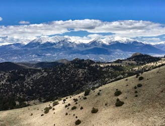
Upon reaching the top, the beginning of the Sangre de Cristo range spreads out before you, marching down the eastern side of the San Luis Valley. With the top of Poncha Pass only a mere 13 miles from downtown Salida, most riders will choose to head over the top, drop into the San Luis Valley, and keep pedaling. From here, the destinations are varied: choose one of the valley’s hot springs as your turn around point, simply pedal to Villa Grove, or head all the way to Crestone and grab a beer at the brewery. Or, if you’ve had enough, turn around at the pass and coast back down—it’s up to you!
Moderate

Away from help but easily accessed.
21 m away
A gorgeous, challenging gravel loop from downtown Salida.
Extreme Road Biking
21 m away
A challenging 200km double loop through the Arkansas Hills region.
Extreme Road Biking