77 routes · Freeride Skiing · Ski Touring

Access to north aspect lines in the Current Creek drainage
Ski Touring Easy

This is a popular ski touring route which is generally considered to be easy. It's not remote, it features unknown exposure and is typically done between December and April. From a low point of 3.4 km to the maximum altitude of 3.5 km, the route covers 724 m, 28 vertical metres of ascent and 29 vertical metres of descent.
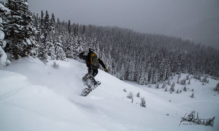
The Aqueduct Trail follows an old aqueduct and road and provides access to various northern aspect routes in the Current Creek drainage.
Easy
Wide gentle slopes at around 20 degrees or less.

77 routes · Freeride Skiing · Ski Touring