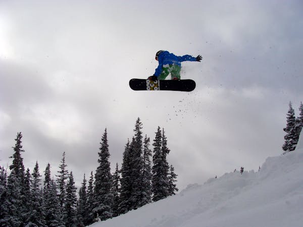
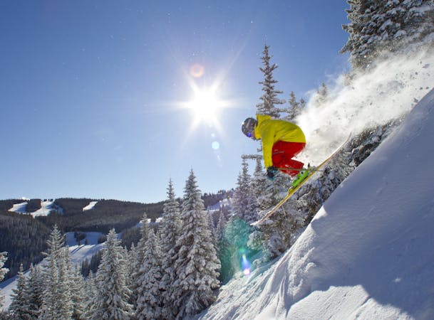
Sentinel

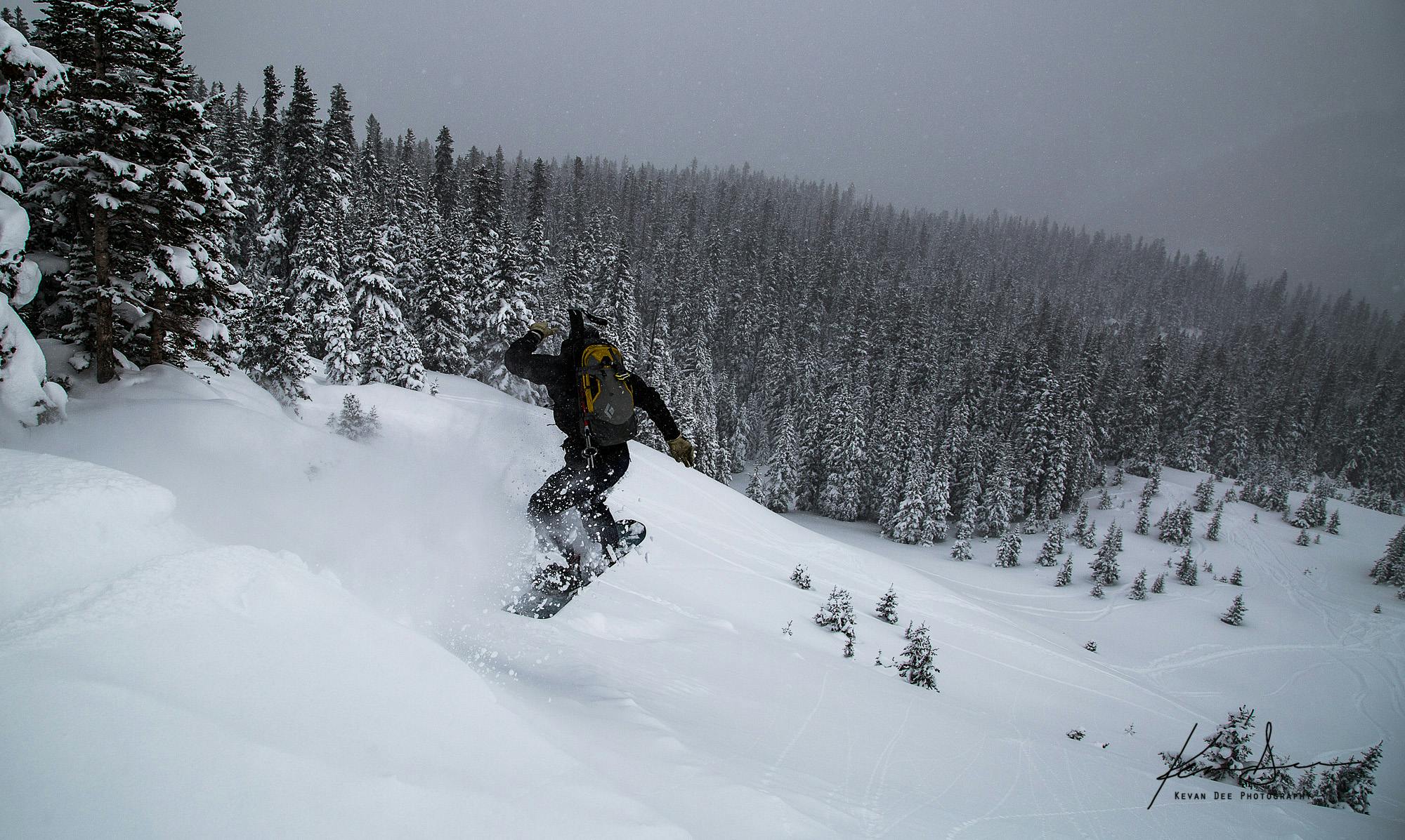
A North-west facing tree chute
Difficult Ski Touring
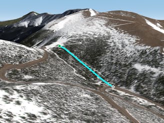
- Distance
- 403 m
- Ascent
- 0 m
- Descent
- 191 m
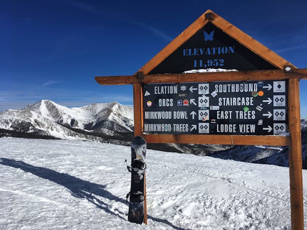
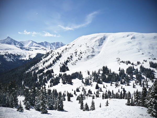
A comprehensive map of all the backcountry ski lines on Berthoud Pass.
Freeride Skiing, Ski Touring Easy, Moderate, Difficult, Severe, Extreme
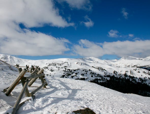
Berthoud Pass between I-70 and the major ski resort of Winter Park was itself once home to a small ski area. Situated right on top of the 11,307-foot mountain pass and rising high into the alpine, the small ski area received 500 inches of snow annually. First opened in 1937, the lifts shut down in 2001, and the entire resort was removed by 2005. (Source)
The lifts and base lodge have all been dismantled and the forest service is seeking to return Berthoud Pass to its natural environment, but the old ski runs still remain. Add in all of the epic above treeline bowls, steep chutes, and rugged cliff bands, and Berthoud Pass’s 500 inches of snow per year now draw in backcountry skiers from up and down Colorado’s Front Range. The area is now one of the most popular backcountry skiing destinations in the state, and maybe even the country.
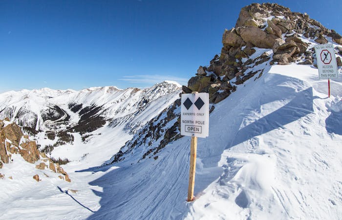
Just because Berthoud is popular doesn’t mean it’s safe. This area can be very avalanche prone, so don’t relax your guard just because you see other people on the skin track. Make your own avy danger decisions, and ski within your ability and comfort zones.
This guidebook functions as a comprehensive map of essentially all of the backcountry ski lines on Berthoud Pass. If you’re looking for a shorter list of recommendations to narrow your search, check out “The Best Backcountry Ski Lines on Berthoud Pass” guidebook instead.
Sources: https://www.elevationoutdoors.com/snowsports/berthoud-survival-guide/ https://rootsrated.com/boulder-co/backcountry-skiing/berthoud-pass-backcountry-skiing https://boc123.com/berthoudpass/berthoudpass.cfm
A North-west facing tree chute
Difficult Ski Touring

A large, steep opening in the trees with multiple rock outcroppings
Severe Ski Touring

A large cirque with a variety of short, steep descent options
Severe Ski Touring

An alpine face with good pitch
Difficult Ski Touring

A long run down a slide-path
Difficult Ski Touring

North facing tree skiing
Difficult Ski Touring

No-hike-necessary tree skiing on Hell's Half Acre.
Moderate Freeride Skiing

North-west facing tree skiing with good pitch
Difficult Ski Touring

NW facing tree skiing with good pitch
Difficult Ski Touring

Long, easy access alpine.
Moderate Ski Touring

Tree skiing
Difficult Ski Touring

An aesthetic eastern aspect alpine line
Difficult Ski Touring

A steep face with cliffs and an icefall
Severe Ski Touring

450 feet of fun, consistent pitch with a small rock feature
Difficult Ski Touring

Some south facing glades
Difficult Freeride Skiing

Gentle Terrain to access the 80's, 90's, Hourglass Cliffs, Nelson's and Sam's
Easy Ski Touring

500 feet of consistent pitch with fun cliffs and trees
Difficult Ski Touring

450 feet of pure fun, consistent pitch with a small rock feature
Difficult Ski Touring

Small features and fun terrain
Difficult Ski Touring

Short, steep, rocky chutes often guarded by cornices
Severe Ski Touring

Wide open alpine
Moderate Ski Touring

Rush 3: Steep cliffs with billy goating or big air potential
Severe Ski Touring

The most popular Berthoud Pass alpine line
Difficult Ski Touring

Rush 2: Steep cliffs with billy goating or big air potential
Severe Ski Touring

Short, steep and narrow to get the adrenaline pumping.
Severe Ski Touring

350 vertical feet of consistent, fun pitch.
Difficult Ski Touring

The standard approach for anything on the west side.
Easy Ski Touring

Tree skiing in a small bowl
Difficult Ski Touring

Mellow tree skiing.
Moderate Freeride Skiing

A wind scoured shot through trees
Difficult Ski Touring

Wind scoured shot through trees
Difficult Ski Touring

A south facing alpine bowl
Difficult Ski Touring

A rocky, north aspect chute
Difficult Ski Touring

Rocky chute near Berthoud Pass.
Difficult Ski Touring

Following the skin track back down.
Easy Freeride Skiing

A NW facing tree chute
Difficult Ski Touring

Another rocky chute near Berthoud Pass.
Difficult Ski Touring

Slightly steeper and narrower than North Chute 1
Difficult Ski Touring

A short, steep face with a big cliff.
Severe Ski Touring

Access to north aspect lines in the Current Creek drainage
Easy Ski Touring

Some tight tree skiing
Difficult Ski Touring

A low-angle, wide chute
Moderate Ski Touring

A variety of cliffs and pillows in the trees
Difficult Ski Touring

A variety of small cliffs
Difficult Ski Touring

Glade skiing
Moderate Ski Touring

Mellow Glade Skiing
Moderate Ski Touring

Steep line with cliffs.
Severe Ski Touring

Glades with some cliffs
Difficult Ski Touring
A low-angle cut through the trees
Moderate Freeride Skiing

Wide open, easy access skiing
Moderate Ski Touring

The skier's right rock chute off Hidden Knoll
Difficult Ski Touring

An icon of Berthoud Pass
Severe Ski Touring

The most obvious route down when looking at the west side from the very top of the pass.
Easy Ski Touring

500 feet of consistent pitch with a fun cliff option
Difficult Ski Touring

300 feet of cliffs and good pitch
Difficult Ski Touring

A classic Berthoud Pass route.
Difficult Ski Touring

Short and steeper tree skiing.
Difficult Ski Touring

A classic Berthoud Pass cliff.
Extreme Ski Touring

No-hike-necessary tree skiing thanks to a shuttle on Berthoud Pass.
Moderate Freeride Skiing

A highly featured west side route.
Difficult Ski Touring

The narrowest of the North Chutes
Difficult Ski Touring

450 feet of fun, consistent pitch.
Difficult Ski Touring

The route in or out of Current Creek
Easy Ski Touring

A steep alpine cirque with small cliffs
Severe Ski Touring

A great scouting route with the potential for deep turns.
Difficult Ski Touring

Rock chute off of Hidden Knoll
Difficult Ski Touring

One of the easiest ways down from Hidden Knoll
Moderate Ski Touring

The center rock chute off Hidden Knoll
Difficult Ski Touring

A steep, rocky pitch off Hidden Knoll
Difficult Ski Touring

Short, south facing pitches
Difficult Ski Touring

Wide open alpine
Difficult Ski Touring

Skiing from the eastern ridge of No Name
Difficult Ski Touring

A tree-d slope into a rocky outcropping
Difficult Ski Touring

A rock Chute
Difficult Ski Touring

A north facing alpine bowl
Moderate Ski Touring

A southerly alpine line
Difficult Ski Touring

The mellowest Route through the XYZ area
Difficult Ski Touring

10 routes · Freeride Skiing
80 routes · Freeride Skiing
2 routes · Freeride Skiing
15 routes · Freeride Skiing · Ski Touring
13 routes · Freeride Skiing
12 routes · Freeride Skiing · Ski Touring
8 routes · Freeride Skiing
16 routes · Freeride Skiing
6 routes · Freeride Skiing
3 routes · Freeride Skiing