15 routes · Freeride Skiing · Ski Touring

500 feet of consistent pitch with a fun cliff option
Ski Touring Difficult

The top part of The Flume sits in an area that is much more exposed to the wind than other parts of The 90's. So, snow can either be very good or very poor on at the top. This inconsistent wind also makes the top part of The Flume more avalanche prone than many other parts of The 90's.
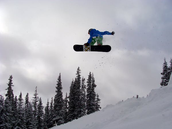
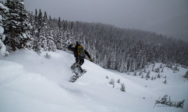
There is a good sized cliff near the top of The Flume that can be taken anywhere from 15 to 35 feet, depending on speed and angle. In order to hit the cliff you must go between several trees on the takeoff.
The bottom part of the Flume is a narrow cut through dense trees. The snow can often accumulate really well in here. But, because it is so narrow and sees a lot of traffic, there can also be bumps that form.
Difficult
Serious gradient of 30-38 degrees where a real risk of slipping exists.

15 routes · Freeride Skiing · Ski Touring

77 routes · Freeride Skiing · Ski Touring