77 routes · Freeride Skiing · Ski Touring

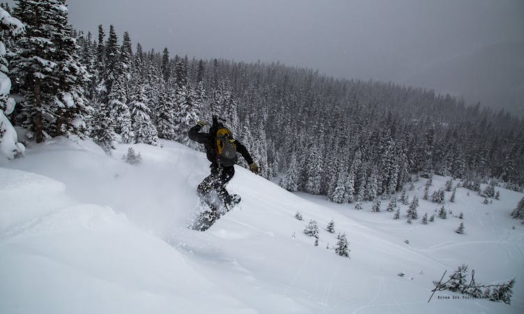
Wind scoured shot through trees
Ski Touring Difficult

This is a popular ski touring route which is generally considered to be difficult. It's remote, it features unknown exposure and is typically done between January and April. From a low point of 3.4 km to the maximum altitude of 3.5 km, the route covers 234 m, 0 vertical metres of ascent and 94 vertical metres of descent.
Nelsons is a 250' shot through the trees that often gets very wind scoured. Because the snow is often very firm in Nelson's it can be a good place to check out when avalanche danger is high.
Difficult
Serious gradient of 30-38 degrees where a real risk of slipping exists.

77 routes · Freeride Skiing · Ski Touring