77 routes · Freeride Skiing · Ski Touring

Gentle Terrain to access the 80's, 90's, Hourglass Cliffs, Nelson's and Sam's
Ski Touring Easy

This is a popular ski touring route which is generally considered to be easy. It's remote, it features unknown exposure and is typically done between November and April. From a low point of 3.4 km to the maximum altitude of 3.6 km, the route covers 618 m, 0 vertical metres of ascent and 179 vertical metres of descent.
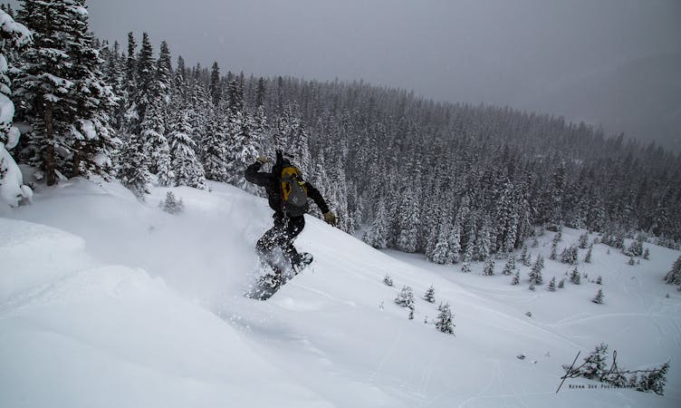
The Meadows are to the north of the Upper Weather Station. As the name suggests, they are low angle with sparse trees. Much of the time the snow in The Meadows is very wind affected, but it provides good access to other zones.
Easy
Wide gentle slopes at around 20 degrees or less.

77 routes · Freeride Skiing · Ski Touring