77 routes · Freeride Skiing · Ski Touring

A highly featured west side route.
Ski Touring Difficult

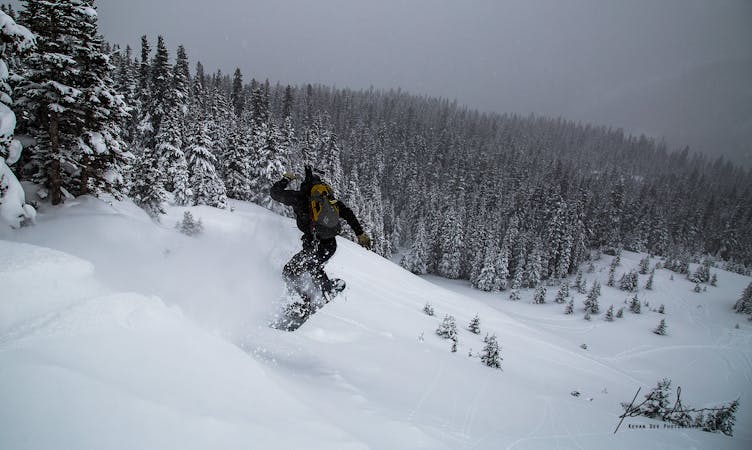
Of all the routes visible from the parking lot, Nitro Chute has perhaps the most features. The entrance to Nitro Chute is a large, eastern aspect convexity that is often wind loaded. Avalanche danger here is significant. Getting caught in an avalanche would mean being taken over a large cliff and through rocks. Make sure you are aware of the weather, avalanche conditions, and your ability before committing to a route like Nitro Chute.
Towards the top-center and top-skier's-left there are several options of cliffs to jump off. The cliff in the center, referred to by many as "The Nose" can be jumped in a variety of ways. Depending on speed and direction The Nose can be taken small (in the neighborhood of 10 feet) to large (in the neighborhood of 40 feet). To the skier's left of "The Nose" is Nitro Chute proper, requiring no air. Just a bit further skier's left is a small ridge that provides a relatively safer route down.
Towards the bottom of the route, on the skier's left in the trees, are a series of smaller cliffs (c.10 feet). These can be a great location for someone who wants to learn or practice hitting double drops.
Difficult
Serious gradient of 30-38 degrees where a real risk of slipping exists.

77 routes · Freeride Skiing · Ski Touring