77 routes · Freeride Skiing · Ski Touring

An alpine face with good pitch
Ski Touring Difficult

This is a popular ski touring route which is generally considered to be difficult. It's remote, it features unknown exposure and is typically done between December and May. From a low point of 3.3 km to the maximum altitude of 3.8 km, the route covers 1.1 km, 0 vertical metres of ascent and 447 vertical metres of descent.
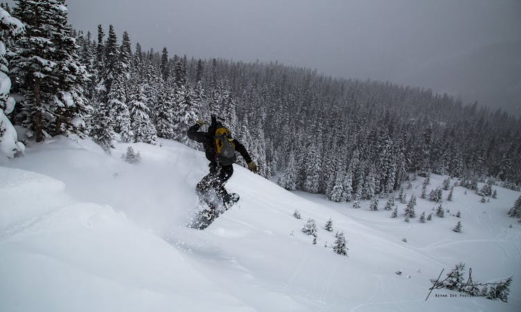
Stanley East Face provides roughly 1000 feet of alpine skiing. It has a good pitch and is fairly straightforward. Be careful of convexities and wind loading, but in general, if there is enough snow on Stanley East Face it is far safer than Stanley Slide Path or Stanley Headwall.
Difficult
Serious gradient of 30-38 degrees where a real risk of slipping exists.

77 routes · Freeride Skiing · Ski Touring