77 routes · Freeride Skiing · Ski Touring

The skier's right rock chute off Hidden Knoll
Ski Touring Difficult

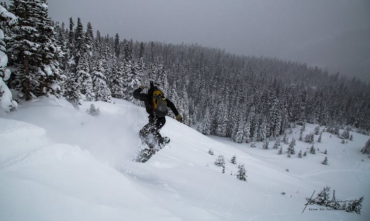
Y Chute is the furthest skier's right chute of the XYZ chutes. It has two primary entrances (hence the name "Y"). It has a good pitch but the whole route can easily be seen from the top, so you know what you're getting yourself into. Towards the bottom of the rock outcroppings, on the skier's left side, the snow will sometimes fill in enough to make the outcropping jumpable. You can find drops in the range of 10-40 feet in here depending on the snow and how fast you're willing to ski off of them. Be aware that avalanche conditions in here can be tricky to predict since this is in an area that gets swirling winds and large temperature gradients due to the multitude of rock outcroppings.
Difficult
Serious gradient of 30-38 degrees where a real risk of slipping exists.

77 routes · Freeride Skiing · Ski Touring