15 routes · Freeride Skiing · Ski Touring

300 feet of cliffs and good pitch
Ski Touring Difficult

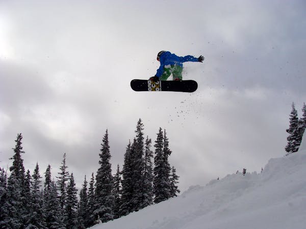
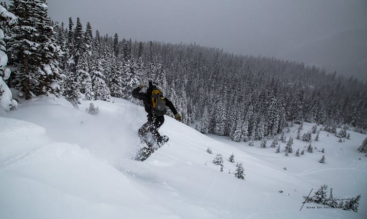
The 80's are to the furthest skiers right, below the aqueduct trail, on the north side of the pass. The top of the 80's has many cliffs of varying size, anywhere from 10 to over 50 feet. If you're not interested in jumping off any cliffs there are also easy routes through those cliffs.
The largest cliff is furthest skiers right, but conditions are rarely, if ever, prime to jump off of this feature. Since this area is right above HWY 40, this is one of the areas that the DOT regularly bombs, making the snowpack quite thin.
The 80's is also an area that gets tricky, inconsistent winds. Even with the same prevailing winds at higher elevations the 80's can sometimes be loaded or stripped of snow. Due to this, and other factors, this area often avalanches, so be very aware of what you're getting yourself into, especially if you choose to jump off any of the larger cliffs.
Difficult
Serious gradient of 30-38 degrees where a real risk of slipping exists.

15 routes · Freeride Skiing · Ski Touring

77 routes · Freeride Skiing · Ski Touring