77 routes · Freeride Skiing · Ski Touring

350 vertical feet of consistent, fun pitch.
Ski Touring Difficult

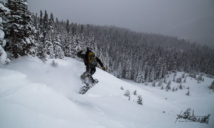
The Plunge has an eastern aspect with consistent pitch and a few terrain features to play on. Midway down on the skier's left side of The Plunge there is a group of trees. Just below those trees is Hollywood Rock, a 10-15 foot cliff that can be fun in the right conditions.
Because it is an eastern aspect, the wind often loads this route very well. Powder conditions are regularly seen on this route by late November. Although it sees a lot of skier traffic, one should still be aware of the increased avalanche risk that is posed by the wind loading of this route.
Difficult
Serious gradient of 30-38 degrees where a real risk of slipping exists.

77 routes · Freeride Skiing · Ski Touring