15 routes · Freeride Skiing · Ski Touring
A steep face with cliffs and an icefall
Ski Touring Severe

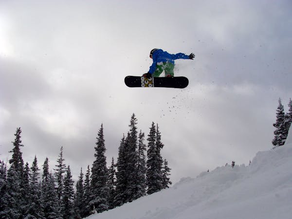
Southeast Russell is one of the most intense lines at Berthoud Pass. As the name implies, the face has a SE aspect. Due to this, Southeast Russell's is rarely in good avalanche/snow conditions but when the face is in proper conditions it is a LOT of fun.
There are several ways to navigate the face. There are several routes through that require no cliffs, but many of the more fun lines require jumping cliffs, an ice fall, or skiing through technical terrain.
If you are considering skiing Southeast Russell make sure you are patient. It is not uncommon for Southeast Russell to not come into proper condition for an entire season.
Severe
Steep skiing at 38-45 degrees. This requires very good technique and the risk of falling has serious consequences.

Little chance of being seen or helped in case of an accident.
15 routes · Freeride Skiing · Ski Touring

77 routes · Freeride Skiing · Ski Touring