77 routes · Freeride Skiing · Ski Touring

A southerly alpine line
Ski Touring Difficult

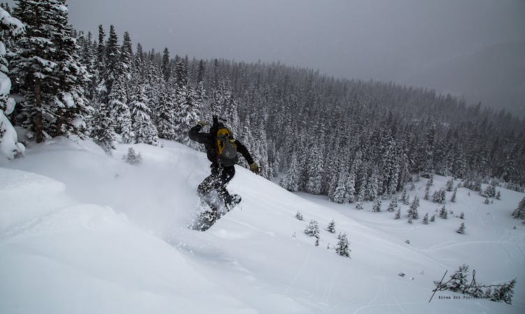
Postage Stamp sits on the prominence that separates the Current Creek drainage from the Second Creek drainage. This route has a SSE aspect in the alpine so it is greatly affected by the sun and the wind and as such, avalanches are very common here. There are parts of Postage Stamp that reach roughly 45 degrees in pitch, but much of it is in the prime avalanche pitch of mid-to-upper-30's. When conditions are right, this run can be beautiful and a lot of fun...but conditions have to be right to avoid sun crusts and avalanche danger.
Difficult
Serious gradient of 30-38 degrees where a real risk of slipping exists.

77 routes · Freeride Skiing · Ski Touring