15 routes · Freeride Skiing · Ski Touring
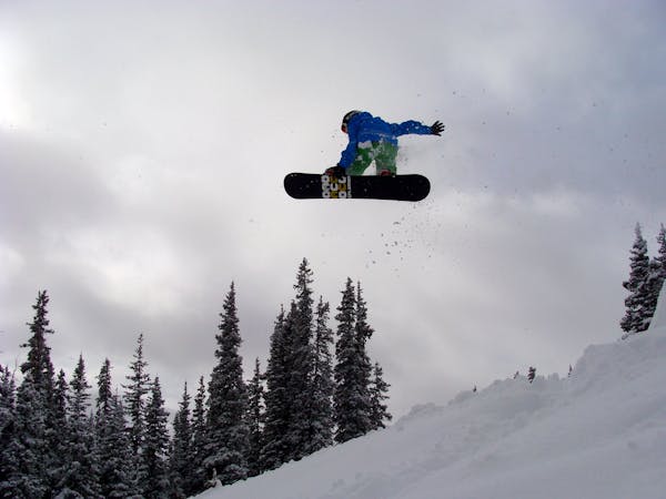
Rush 2: Steep cliffs with billy goating or big air potential
Ski Touring Severe

The entrance to Rush 2 is a large, eastern aspect convexity that is often wind loaded. Avalanche danger here is significant. Getting caught in an avalanche would mean being taken over and through cliffs. Make sure you are aware of the weather, avalanche conditions, and your ability before committing to a route like Rush 2.
There are ways to sneak through Rush 2 without any air, but most ways through this section of cliffs require at least some air. Airs can be as small as 10 feet or as big as 30 feet. Some routes through Rush 2 can provide double drops that link multiple 20+ feet cliffs.
Severe
Steep skiing at 38-45 degrees. This requires very good technique and the risk of falling has serious consequences.

As well as the slope itself, there are some obstacles (such as rock outcrops) which could aggravate injury.
Away from help but easily accessed.
15 routes · Freeride Skiing · Ski Touring

77 routes · Freeride Skiing · Ski Touring