4.3 km away
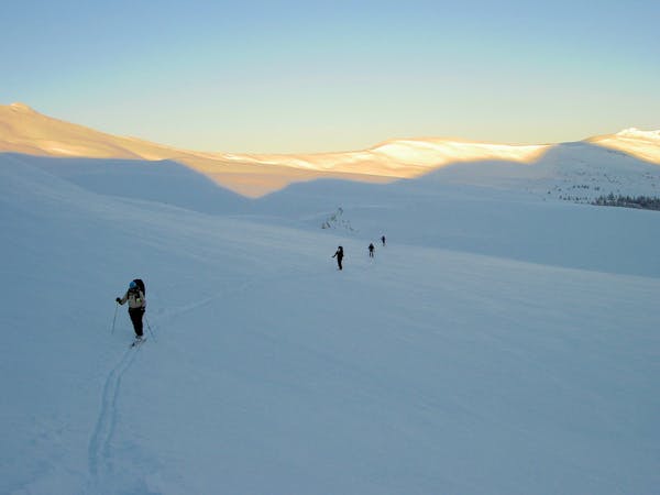
Janet's Cabin
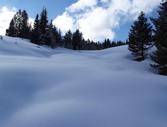
The approach to a backcountry hut with an abundance of touring opportunities.
Easy Ski Touring
- Distance
- 6 km
- Ascent
- 364 m
- Descent
- 123 m
Line that starts from peak 5 and goes down to the Conoco Gas Station
Ski Touring Difficult

As mentioned with the SKY Chutes, this line has two options as well. The only difference is that it sits closer to I-70 highway. From Breckenridge Ski Area, you will down climb the rocks from the summit of Peak 5. This route can be challenging and hard to navigate. Be aware of the cross loading at the top of the line when entering. The preferred way to access this line is from the bottom because of how long it takes to get to from Breckenridge. It is also a fairly mellow skin from the bottom. If you access from the bottom, you should be able to park by the Conoco gas station, and scout the best way to cross the Tenmile Creek.
Difficult
Serious gradient of 30-38 degrees where a real risk of slipping exists.

Away from help but easily accessed.
4.3 km away
The approach to a backcountry hut with an abundance of touring opportunities.
Easy Ski Touring
6.8 km away
Nice long decent off Peak 9 Summit
Difficult Ski Touring
7.2 km away
Hike Route that starts from the Backcountry Gate
Moderate Ski Touring
7.3 km away
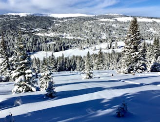
When the avalanche danger gets high around Vail head to Uneva Ridge for some low angle pow laps.
Moderate Ski Touring
6 routes · Ski Touring