2.1 km away
East Ridge 9
Nice long decent off Peak 9 Summit
Difficult Ski Touring
- Distance
- 1.6 km
- Ascent
- 0 m
- Descent
- 532 m
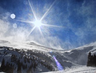
Southeast face of Crystal peak
Ski Touring Difficult

This is a popular ski touring route which is generally considered to be difficult. It's extremely remote, it features medium exposure (e2) and is typically done in an unknown time of year. From a low point of 3.8 km to the maximum altitude of 4.2 km, the route covers 996 m, 0 vertical metres of ascent and 405 vertical metres of descent. You'll need skins to complete it safely.
This route has been marked mainly to provide access from the Mohawk Lakes Drainage into the Spruce Creek Drainage. It is southeast facing, so if you are going to ski it, pay attention to the time of day, and rock outcroppings. It enters into the Mohawk Lakes Drainage.
Difficult
Serious gradient of 30-38 degrees where a real risk of slipping exists.

As well as the slope itself, there are some obstacles (such as rock outcrops) which could aggravate injury.

In the high mountains or remote conditions, all individuals must be completely autonomous in every situation.
2.1 km away
Nice long decent off Peak 9 Summit
Difficult Ski Touring
3.4 km away
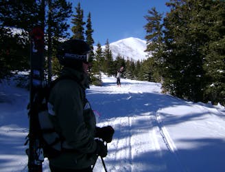
Hike Route that starts from the Backcountry Gate
Moderate Ski Touring
8.2 km away
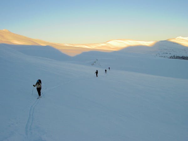
The approach to a backcountry hut with an abundance of touring opportunities.
Easy Ski Touring
6 routes · Ski Touring