4.4 km away
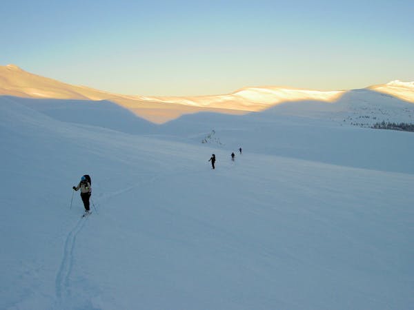
Janet's Cabin
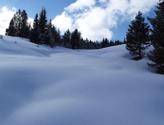
The approach to a backcountry hut with an abundance of touring opportunities.
Easy Ski Touring
- Distance
- 6 km
- Ascent
- 364 m
- Descent
- 123 m
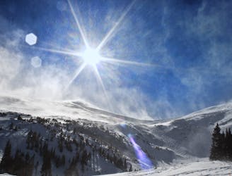
Another option off the backside of Peak 5
Ski Touring Difficult

Just like the Conoco Chute, this line is better accessed, and scouted from the bottom. You can access it from above on the Summit of Peak 5, but it will be a complicated mountaineering route. Due to wind patterns and snowfall history, the top half of the line is usually wind scoured making it much easier to access from the bottom. Although this line is easy to scout from Copper Mountain, it is not as popular as the SKY Chutes. A great option, and easy skin from the bottom to access some great skiing. Also a great option as a challenging mountaineering route to summit Peak 4, and to get to know the Tenmile Range.
Difficult
Serious gradient of 30-38 degrees where a real risk of slipping exists.

As well as the slope itself, there are some obstacles (such as rock outcrops) which could aggravate injury.

Little chance of being seen or helped in case of an accident.
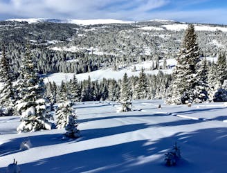
4.4 km away
The approach to a backcountry hut with an abundance of touring opportunities.
Easy Ski Touring
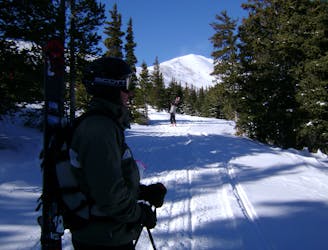
7.1 km away
Nice long decent off Peak 9 Summit
Difficult Ski Touring
7.2 km away
When the avalanche danger gets high around Vail head to Uneva Ridge for some low angle pow laps.
Moderate Ski Touring
7.4 km away
Hike Route that starts from the Backcountry Gate
Moderate Ski Touring
6 routes · Ski Touring