3.6 km away
Torreys Peak: Emperor Couloir
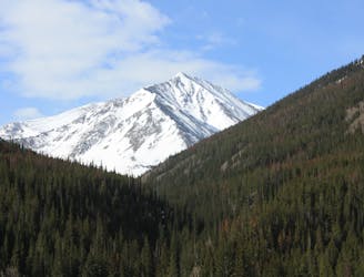
Ski a spectacular 3,000-foot line off the summit of one of Colorado's most popular 14ers.
Severe Ski Touring
- Distance
- 3.7 km
- Ascent
- 999 m
- Descent
- 999 m

Great route for beginner mountaineers—climb an easy 14er, ski a short couloir, and cruise through a fun gulley back to the trailhead.
Ski Touring Difficult

This is just an all-around fun route that everyone should enjoy. Expect a fairly easy hike up, a short but thrilling couloir, and a playful ski down a gulley back to the trailhead.
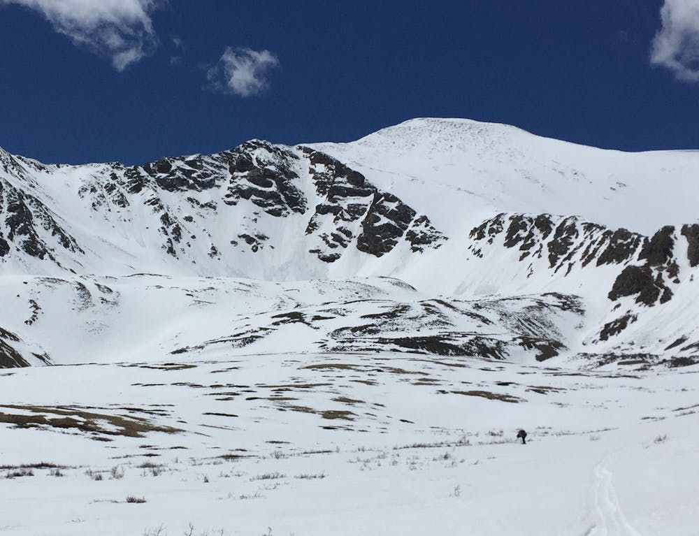
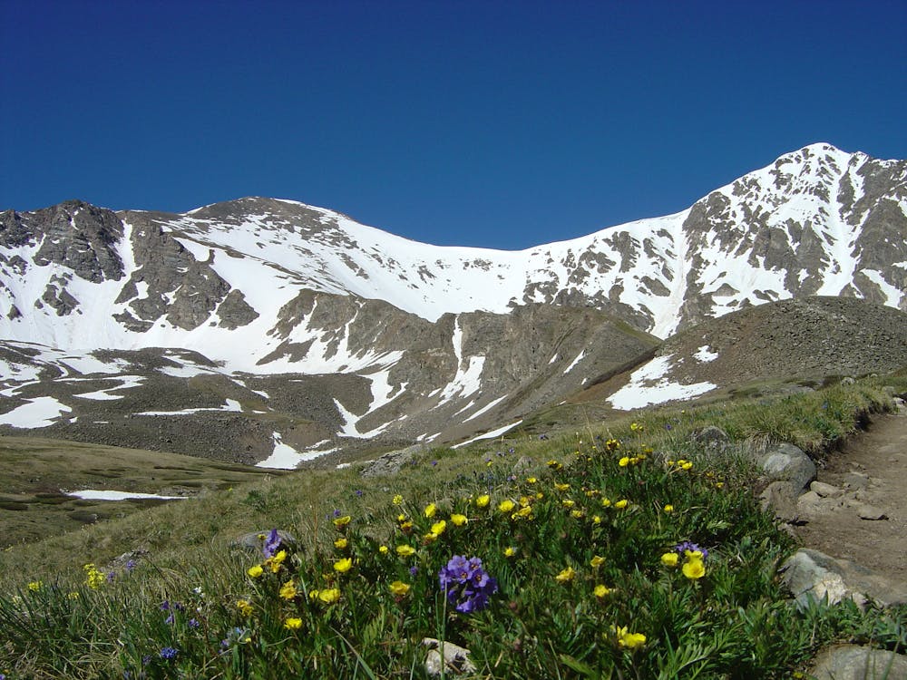
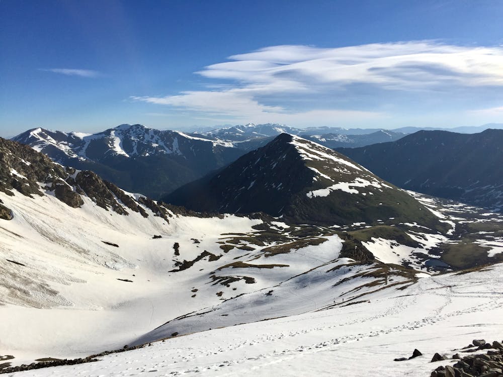
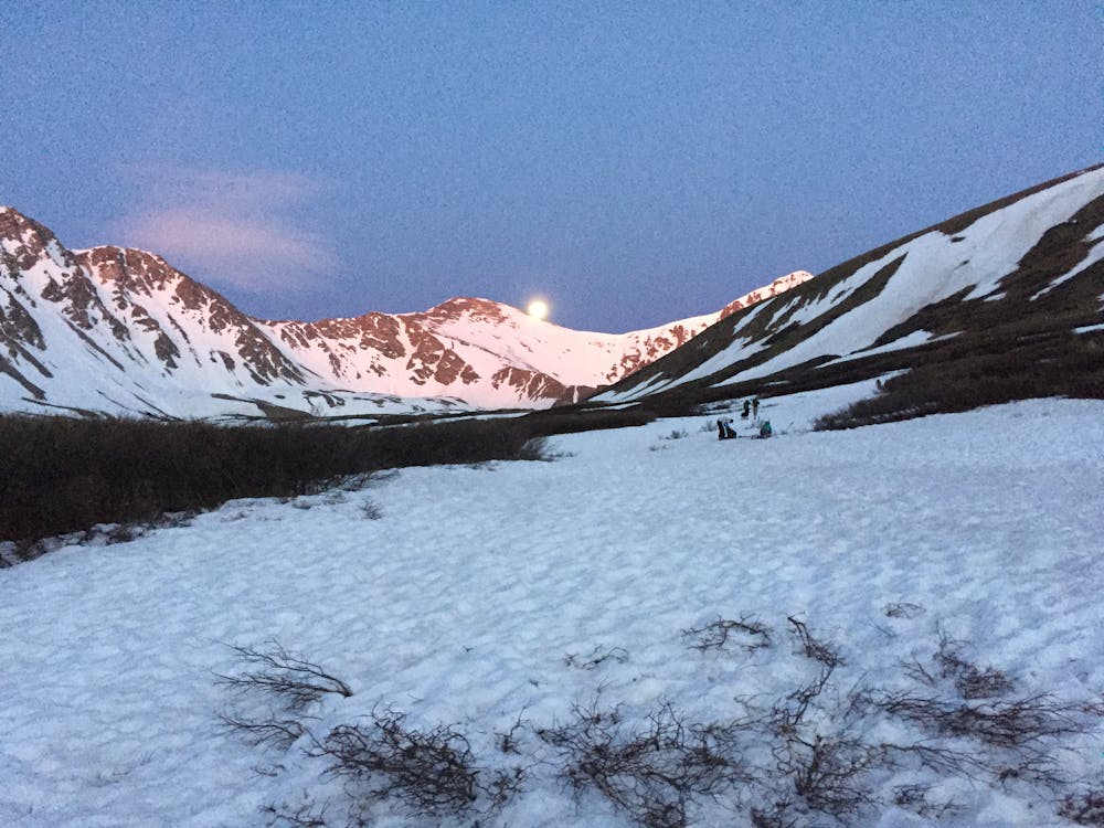
The route is a good mix of terrain for beginner mountaineers and will leave you satisfied and excited for more! The roundtrip mileage is not very long and the vertical is relatively modest, making this only moderately strenuous. This is one of the most popular 14ers in Colorado and is usually a very crowded mountain. If you ski this during the recommended spring season you will mostly avoid the large crowds.
Start by hiking through a beautiful valley that leads up to the summit ridgeline. The valley contains numerous juicy ski lines that will entice you to return in the future. The standard trail should be packed out, but since it lies on a south-facing slope, the snow is sometimes spotty. To avoid numerous transitions, you can usually skin up continuous snow at the bottom of the valley near the streambed. Once you reach the end of the valley you will begin to gain more vertical as you head towards the ridgeline. Torreys peak will stand out as the prominent peak at the end of the valley with Dead Dog Couloir in plain view. Grays peak is less interesting and sits just south at the top of a large north facing slope. This slope is wide open and offers another good ski option in case you decide not to ski a couloir.
Besides good views, the rounded summit of Grays Peak is not very exciting. The wind has usually blown most of the snow off the summit so you might be forced to ski a small ribbon of snow down the ridgeline to the entrance of the Lost Rat Couloir. The entrance to the couloir is usually guarded by a cornice so entering the line may be a little tricky. The top of the couloir is the steepest section, then it meanders down a couple hundred of feet before opening up. The streambed at the bottom of the valley holds snow fairly well so you should be able to ski a fun gulley all the way back to the trailhead.
As with most steep lines in Colorado it is recommended to wait until spring to attempt this line when the snow has condensed and is more predictable. The best time is usually when forest road 189 first opens for the season all the way to the trailhead, otherwise, you will add up to six miles round trip to your route. Hike early and try to time your descent so that the snow is soft but you’re not sinking in above your boots. If you see pinwheels or rollerballs developing you’re too late and should get off any steep slopes.
Difficult
Serious gradient of 30-38 degrees where a real risk of slipping exists.
3.6 km away

Ski a spectacular 3,000-foot line off the summit of one of Colorado's most popular 14ers.
Severe Ski Touring
7 routes · Ski Touring