3.6 km away
East Ridge 9
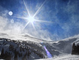
Nice long decent off Peak 9 Summit
Difficult Ski Touring
- Distance
- 1.6 km
- Ascent
- 0 m
- Descent
- 532 m
Open Chute in the Hawaii Couloirs
Ski Touring Severe

To access these chutes, you will follow the Mt. Helen East Face Route to the Pacific North Couloir Route. Each route is pretty self-explanatory and offers nice steep skiing. Skin to the bottom of your selected line as far as you can, then you will have to switch to a boot pack. Make sure you scout the line as you hike it. From lookers right to left, the lines basically get wider and wider. If you have the time, you can check out the Pacific Tarn that sits above these lines, it is the highest lake in North America. The lines are each about 900-1000ft of vertical.
Severe
Steep skiing at 38-45 degrees. This requires very good technique and the risk of falling has serious consequences.

As well as the slope itself, there are some obstacles (such as rock outcrops) which could aggravate injury.

In the high mountains or remote conditions, all individuals must be completely autonomous in every situation.
3.6 km away
Nice long decent off Peak 9 Summit
Difficult Ski Touring
4.6 km away
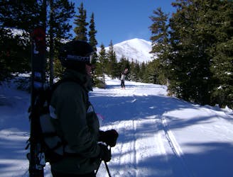
Hike Route that starts from the Backcountry Gate
Moderate Ski Touring
9.5 km away
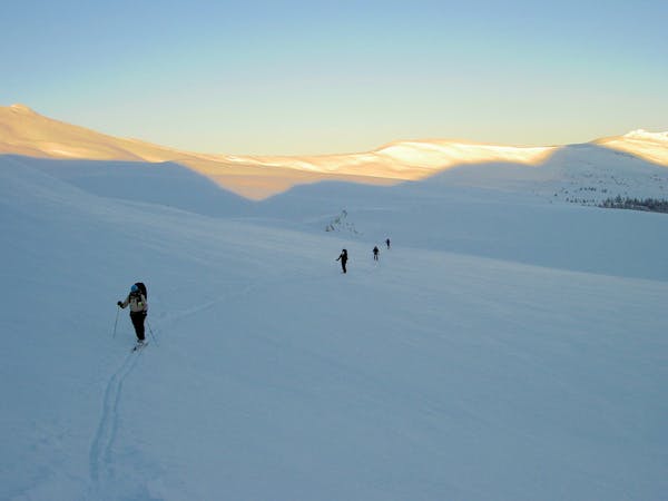
The approach to a backcountry hut with an abundance of touring opportunities.
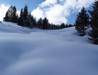
Easy Ski Touring
6 routes · Ski Touring