3 km away
East Ridge 9
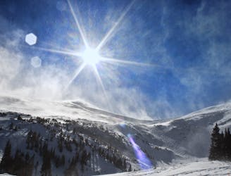
Nice long decent off Peak 9 Summit
Difficult Ski Touring
- Distance
- 1.6 km
- Ascent
- 0 m
- Descent
- 532 m
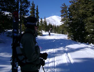
East Face of Mt Helen
Ski Touring Difficult

Access this line from the Spruce Creek Trailhead. Driving directions from the town of Breckenridge are quite simple to get to this trailhead as it is only a few miles. You will begin your skin from the trailhead, and the most important part here is following the trail correctly when it forks to the left. Please make sure you stay to the uphill left when the trail forks. The next important part of this route is staying to the uphill right when you make it to a road. You will hike back and to the right along a flat road here. Stay hiking on this road along a steep headwall of trees to your left. Keep on this route until that steep headwall starts to flatten out and you start to see a clearing in the woods. Follow the marked route up through the woods. It will get steep in parts and the safest hiking route will be through the trees, but it is up to you based on conditions. Makes sure to pay attention to this zone from the trees to tree line up to the East Face. You have several options on the descent. Once on you are on the actual East Face, continue to the summit. The downhill is pretty straight forward, but just make sure you come back to the skier's left towards your uphill route. As mentioned before, you can choose several different ways through the trees because no matter where you go, you will end up back on the road. The farther skier's left you go, the farther your route back will be. From the road, simply follow your ascent route back to the trailhead.
Please note there are other routes to ascend this East Face, however, we chose route because it is the easiest one to follow. It is very easy to get lost on this route.
Difficult
Serious gradient of 30-38 degrees where a real risk of slipping exists.

As well as the slope itself, there are some obstacles (such as rock outcrops) which could aggravate injury.

In the high mountains or remote conditions, all individuals must be completely autonomous in every situation.
3 km away
Nice long decent off Peak 9 Summit
Difficult Ski Touring
3.1 km away
Hike Route that starts from the Backcountry Gate
Moderate Ski Touring