7.1 km away
Torreys Peak: Emperor Couloir
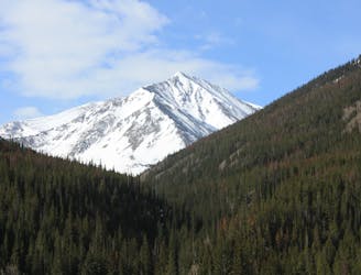
Ski a spectacular 3,000-foot line off the summit of one of Colorado's most popular 14ers.
Severe Ski Touring
- Distance
- 3.7 km
- Ascent
- 999 m
- Descent
- 999 m
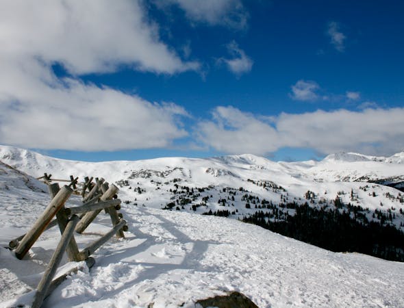
Quick and easy access to an intermediate backcountry face
Ski Touring Difficult

Pat's Knob is a southeast facing zone, above tree line located directly across I-70 from the Loveland Valley Ski Area. With easier access than the Trelease bowl, this area is often one of the first to see lines on it. Snowpack can be dangerous until things settle in the late season, so saving this one for springtime is a good call. Consistently steep and open from the top, pockets of trees start to appear about halfway down. After a good season it's possible to ski all the way back to the parked cars at the bottom of exit 216.
Difficult
Serious gradient of 30-38 degrees where a real risk of slipping exists.

Little chance of being seen or helped in case of an accident.
7.1 km away
Ski a spectacular 3,000-foot line off the summit of one of Colorado's most popular 14ers.
Severe Ski Touring
12 routes · Freeride Skiing · Ski Touring