1.3 km away
Peak 9 / 10 Summit Hike
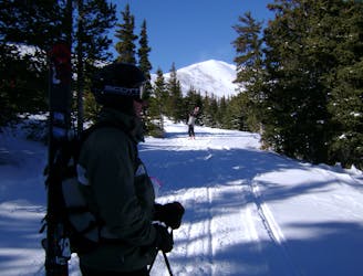
Hike Route that starts from the Backcountry Gate
Moderate Ski Touring
- Distance
- 2.4 km
- Ascent
- 408 m
- Descent
- 6 m
Another option off the southside of Peak 10
Ski Touring Difficult

This is a popular ski touring route which is generally considered to be difficult. It's extremely remote, it features medium exposure (e2) and is typically done in an unknown time of year. From a low point of 3.5 km to the maximum altitude of 3.8 km, the route covers 1 km, 0 vertical metres of ascent and 317 vertical metres of descent. You'll need skins to complete it safely.
Another great option for those staying at Francie's Cabin. This offers a little more vertical than Francie's Bowl. To access this route, follow the same route for Herb's Bowl from the trailhead. A nice simple south facing route, just watch out for rock exposure.
Difficult
Serious gradient of 30-38 degrees where a real risk of slipping exists.

As well as the slope itself, there are some obstacles (such as rock outcrops) which could aggravate injury.

In the high mountains or remote conditions, all individuals must be completely autonomous in every situation.
1.3 km away
Hike Route that starts from the Backcountry Gate
Moderate Ski Touring
1.7 km away
Nice long decent off Peak 9 Summit
Difficult Ski Touring
9.4 km away
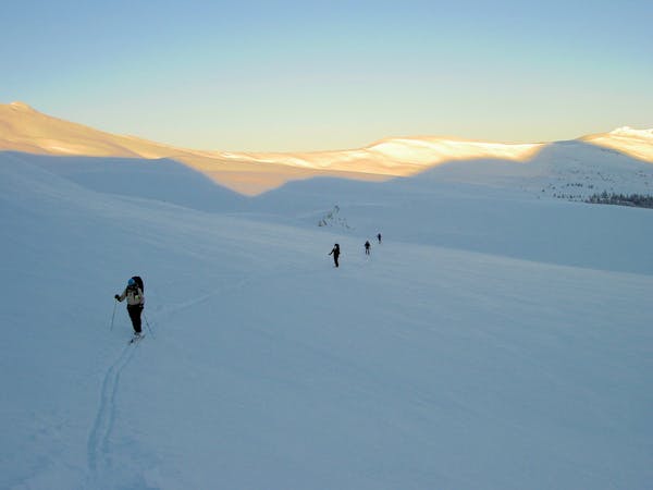
The approach to a backcountry hut with an abundance of touring opportunities.
Easy Ski Touring
6 routes · Ski Touring