323 m away
Peak 9 / 10 Summit Hike
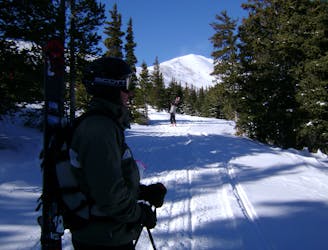
Hike Route that starts from the Backcountry Gate
Moderate Ski Touring
- Distance
- 2.4 km
- Ascent
- 408 m
- Descent
- 6 m
Skin/Hike route to the Summit of Peak 10
Ski Touring Severe

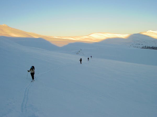
This route starts from the Mercury SuperChair. You can ski this route when the Twin Chutes hiking access is open. Start skinning from here and follow the Twin Chutes Hike until you reach the Backcountry Ski Gate. From there if visible, follow the road over the East Ridge of Peak 9 until it flattens out, then follow the route to the base of the bowl on Peak 10. From there, look for another road visible to the skiers left. Follow the route/road to gain the ridge and summit Peak 10. The line can be skied from the summit depending on the coverage. This a great line that skis very well. You can return the same way you came or ski back over the Twin Chutes Zone.
Severe
Steep skiing at 38-45 degrees. This requires very good technique and the risk of falling has serious consequences.

Exposure is limited to that of the slope itself. Getting hurt is still likely if the slope is steep and/or the snow is hard.

Little chance of being seen or helped in case of an accident.
323 m away
Hike Route that starts from the Backcountry Gate
Moderate Ski Touring
1.4 km away
Nice long decent off Peak 9 Summit
Difficult Ski Touring
8.7 km away
The approach to a backcountry hut with an abundance of touring opportunities.
Easy Ski Touring
6 routes · Ski Touring