2.8 km away
East Ridge 9
Nice long decent off Peak 9 Summit
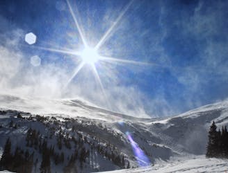
Difficult Ski Touring
- Distance
- 1.6 km
- Ascent
- 0 m
- Descent
- 532 m
Another option off Stegosaurus
Ski Touring Extreme

Just like Stegosaurus Ridge 1, follow the same access route for Herb's Bowl and once you arrive at the bottom of the line, you will be able to see the downhill route. This line is even steeper than the original Stegosaurus Route, but you will be able to skin up to part of it. Once you find the right time to switch over to boot packing, follow the couloir straight up. Depending on how the snow blows in, you may be able to get pretty far up the chute. However, a summit here may not be worth it. Also understand that this may not always be an option, and between Stego 1 and 2, might be a better option. It all depends on how the snow blows into these lines, and how much snowfall the area has had for the season. Overall, this zone will give you great steep couloir skiing that pretty much never sees any traffic in the Spruce Creek Trailhead access.
Extreme
Extreme skiing terrain above 45 degrees. These routes are reserved for experienced experts.

In case of a fall, death is highly likely.

In the high mountains or remote conditions, all individuals must be completely autonomous in every situation.
2.8 km away
Nice long decent off Peak 9 Summit
Difficult Ski Touring
3.3 km away
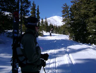
Hike Route that starts from the Backcountry Gate
Moderate Ski Touring
9.9 km away
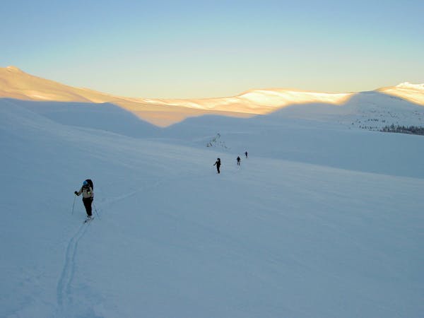
The approach to a backcountry hut with an abundance of touring opportunities.
Easy Ski Touring
6 routes · Ski Touring