
This is a popular stand up paddle route which is generally considered to be moderate. It's an unknown remoteness, it features unknown exposure and is typically done in an unknown time of year. From a low point of 2.8 km to the maximum altitude of 2.8 km, the route covers 7.1 km, 0 vertical metres of ascent and 0 vertical metres of descent.
- •
- •
Description
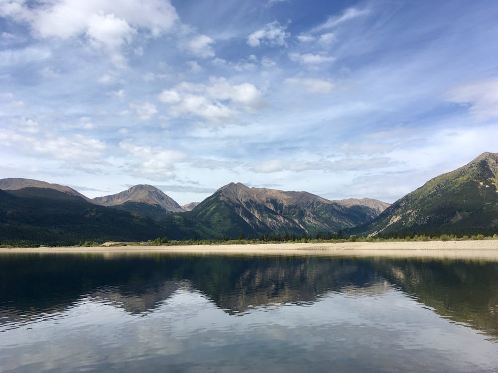
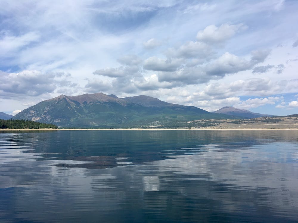
SUP on Twin lakes, departing from the trailhead near the dam.
Difficulty
Moderate