Wasatch Trail Out-and-Back

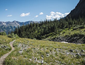
One of Telluride's most pristine high alpine trails, beginning straight from downtown.
Severe Trail Running
- Distance
- 19 km
- Ascent
- 1.4 km
- Descent
- 1.4 km
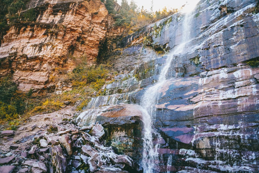
Hike to one of Telluride's most beautiful waterfalls.
Trail Running Difficult

Bear Creek Falls is one of Telluride’s iconic trail runs. This 4.4-mile out-and-back route takes you to a spectacular 80-foot waterfall that flows year-round.
You can start this run from downtown Telluride, with parking options available at the town park, or additional free parking lots further away.
The trail winds up a narrow mountain valley, with beautiful views of aspen trees and the peaks high above. As you approach the falls, the trail becomes steeper, narrower, and more technical. You will pass a junction with the Wasatch trail, which leads to higher elevations and connects with various trails in the area.
You may continue on the Wasatch trail if you want a longer and more challenging run, or turn left and follow the sign to Bear Creek Falls, as shown here. You will shortly reach a large boulder that marks the end of the trail and the beginning of the falls.
Bear Creek Falls is a stunning sight to behold. You are able to see the water plunging down from a high cliff into a pool below, creating a misty spray and a rainbow on sunny days. You might climb up the boulder to get a closer view of the falls, or find a spot on the rocks or grass to catch your breath and enjoy the scenery.
When you are ready to head back, retrace your steps to get back to your car.
Difficult

The path is on completely flat land and potential injury is limited to falling over.

Away from help but easily accessed.
One of Telluride's most pristine high alpine trails, beginning straight from downtown.
Severe Trail Running
4 m away
The iconic Wasatch Trail Loop beginning from downtown Telluride.
Severe Trail Running