4 m away
Wasatch Trail Out-and-Back
One of Telluride's most pristine high alpine trails, beginning straight from downtown.
Severe Trail Running
- Distance
- 19 km
- Ascent
- 1.4 km
- Descent
- 1.4 km
The iconic Wasatch Trail Loop beginning from downtown Telluride.
Trail Running Severe

The Wasatch Trail is one of the most iconic trails in Telluride and a bonafide bucket list objective for Colorado trail runners. But this loop is no joke: it demands about 4,500 feet of climbing in 15 miles, rising to a sky-scraping high point of 13,061 feet.
The run shown here begins from downtown Telluride, but you can bypass a bit of the climbing with a vehicle shuttle to Bridal Veil Falls trailhead. Regardless, you're in for a slog up a dirt road for thousands of feet before eventually reaching the singletrack. The climbing continues into the alpine, eventually reaching the Wasatch Trail's high point at 13,061 feet.
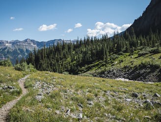
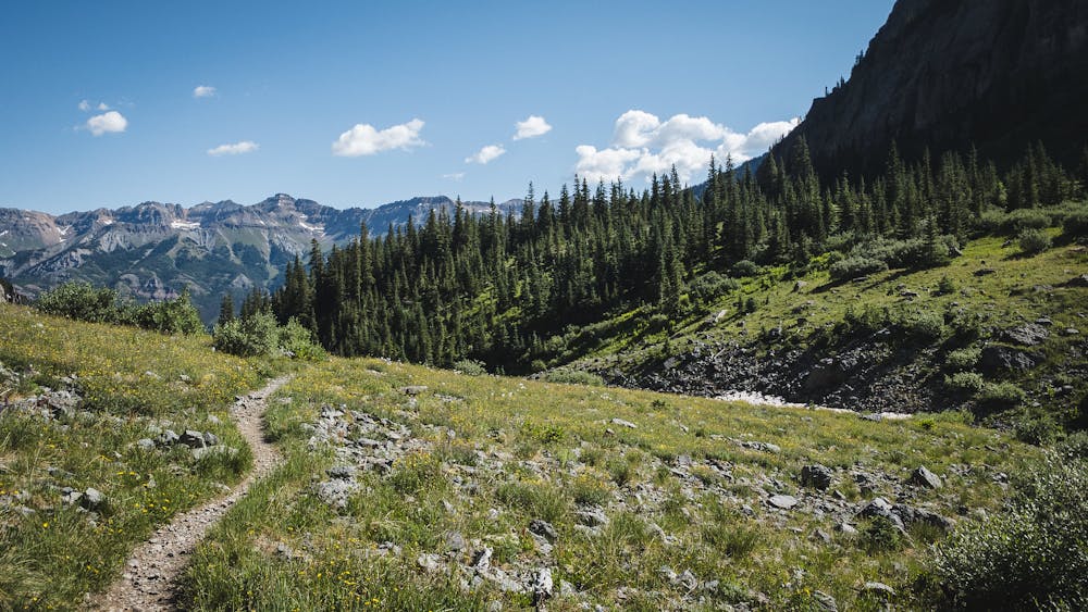
Here you'll enjoy staggering high-alpine scenery, with the jaw-dropping San Juan mountains all around you. Keep your eyes peeled for alpine wildlife, like marmots. Once done enjoying the high alpine terrain, it's time for the fun part!
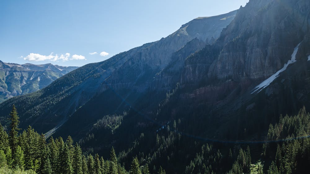
The descent off the top of the pass consists of narrow singletrack running through exposed high-alpine terrain. You will have to navigate tight switchbacks, loose rocks, and exposed ledges on your way down to the Bear Creek drainage. Some sections of trail are quite exposed, with consequential fall danger.
The trail will eventually smooth out and follow a fast, flowy singletrack along the creek. You will pass by some historic mining structures and more waterfalls before popping out on the outskirts of Telluride.
Severe

The trail contains some obstacles such as outcroppings and rock which could cause injury.

Little chance of being seen or helped in case of an accident.
4 m away
One of Telluride's most pristine high alpine trails, beginning straight from downtown.
Severe Trail Running
4 m away
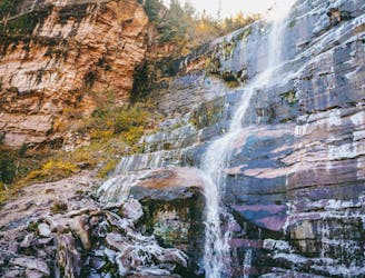
Hike to one of Telluride's most beautiful waterfalls.
Difficult Trail Running