3.4 km away
Cub Lake Loop
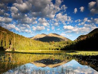
Run alongside meadows, creeks, and a subalpine lake on this nicely-varied loop.
Moderate Trail Running
- Distance
- 9.7 km
- Ascent
- 243 m
- Descent
- 243 m
A trail running favorite, at the edge of Rocky Mountain National Park.
Trail Running Difficult

Deer Mountain is an Estes Park local go-to, and also a popular running destination in Rocky Mountain National Park. With a short warm-up, a tough middle third, and an easier stretch to a rewarding summit, it’s an all-around great run with nice views the whole way. The trail can be in good condition at any time of year, depending on recent weather. At a max elevation of 10,000 feet and with some south-facing aspects, it doesn’t usually hold too much snow. It also tends to be safer on summer afternoons, when monsoon storms wrack the higher elevations.
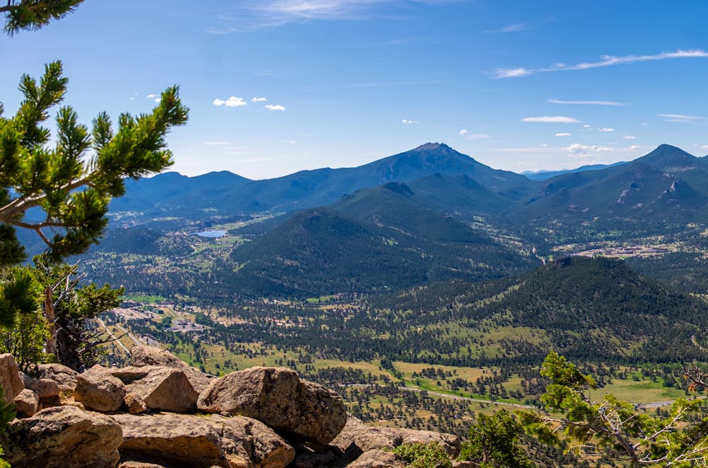
The start of Deer Mountain Trail is just inside the national park, on Trail Ridge Road. You’ll approach the base of the mountain on rolling terrain, through sunny pine forest. Then the uphill begins, on good track but with some rocky segments. If it seems like the incline gets progressively steeper, that’s because it does, but a reprieve comes on the final third. Stone steps make the final push to the summit. From there, you’ll have an excellent view of Longs Peak and the mountains on the Continental Divide, plus the town of Estes Park below.
Sources: https://www.visitestespark.com/blog/post/top-5-trail-runs-in-estes-park/ https://www.mycoloradoparks.com/things-to-do/deer-mountain-trail
Difficult

The trail contains some obstacles such as outcroppings and rock which could cause injury.

Close to help in case of emergency.
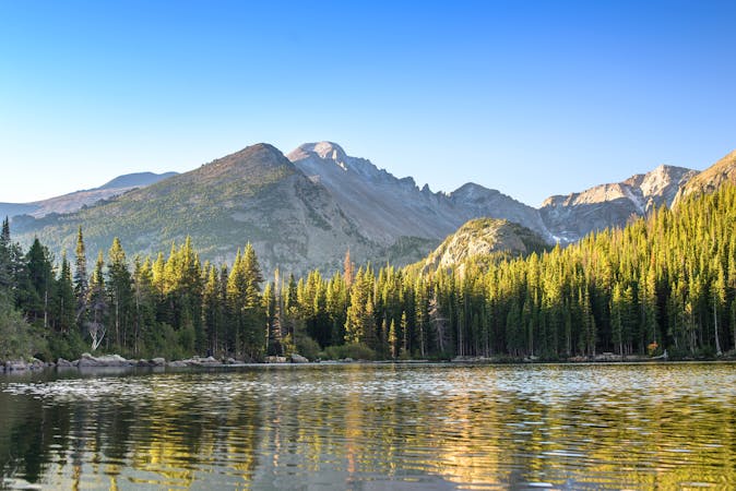
3.4 km away
Run alongside meadows, creeks, and a subalpine lake on this nicely-varied loop.
Moderate Trail Running
8.3 km away
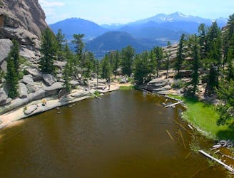
The well-known mountain run around and over Lumpy Ridge, just inside the boundary of Rocky Mountain National Park.
Difficult Trail Running
8 routes · Trail Running