0 m away
Central Flatirons + Bear Canyon

Linking the central flatiron run to green summit and down bear canyon
Extreme Trail Running
- Distance
- 15 km
- Ascent
- 849 m
- Descent
- 849 m
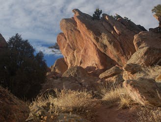
A scrambly jaunt to the top of the First and Second flatirons.
Trail Running Severe

This run to the top of the First and Second Flatirons is a truly iconic Boulder adventure. The trail departs from the Bluebell/Chautauqua trailhead, rolling through wide-open meadows before beginning its ascent into the mountains. As it climbs, the trail gets progressively more difficult, climbing a set of rocky switchbacks.
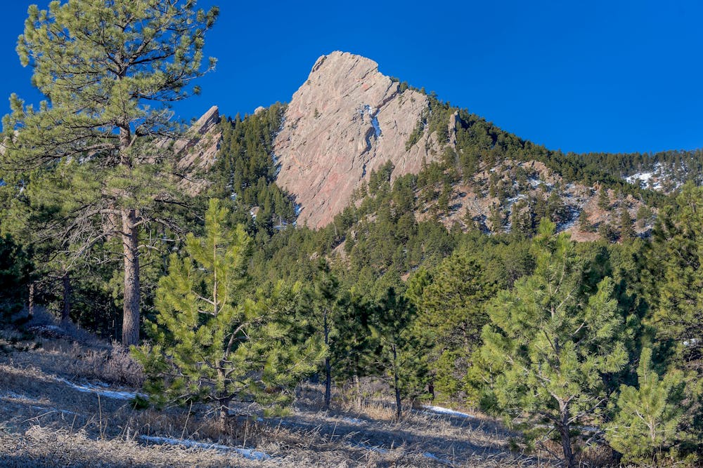
Even though this route doesn't ascend the technical rock faces, it's still a fairly scrambly ascent, earning it a Severe FATMAP difficulty rating. That said, climbers ascending the rock faces will often use this as their descent trail. Whether this trail is tough and technical or an easy descent depends entirely on the person!
Sources: https://bouldercolorado.gov/trail/1st2nd-flatiron https://www.10adventures.com/hikes/boulder/first-and-second-flatirons-loop/ https://chasingadvntr.com/boulder-flatirons-hiking/
Severe

Some trail sections have exposed ledges or steep ascents/descents where falling could cause serious injury.

Away from help but easily accessed.
0 m away
Linking the central flatiron run to green summit and down bear canyon
Extreme Trail Running
873 m away
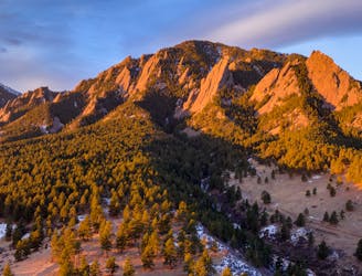
A loop to the top of Boulder's most iconic mountain.
Severe Trail Running
2.6 km away
A quintessential Boulder trail run.
Severe Trail Running