9.5 km away
Cheyenne Mountain State Park Loop
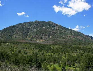
One of Colorado's newest state parks boasts fantastic singletrack!
Moderate Trail Running
- Distance
- 19 km
- Ascent
- 482 m
- Descent
- 482 m
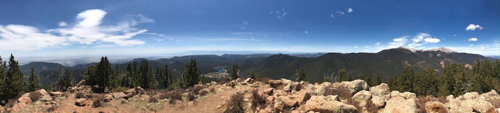
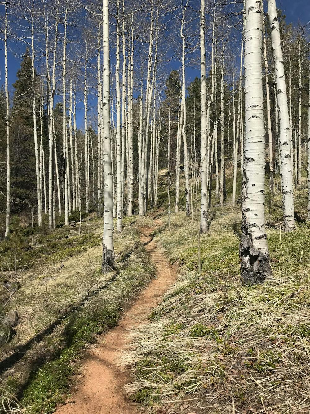
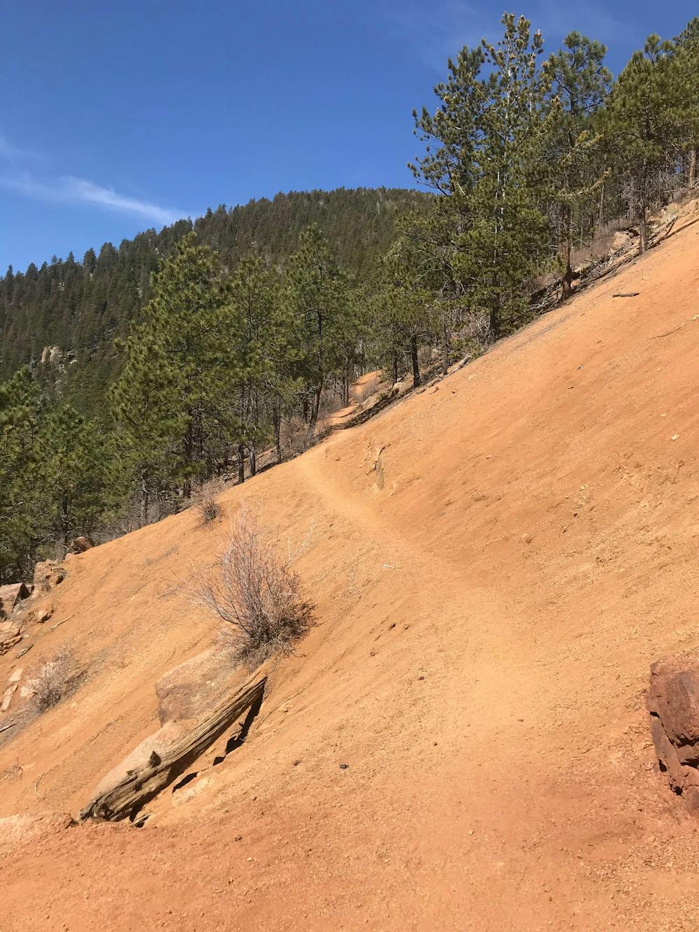
Fun and Challenging Route to Mt. Rosa
Trail Running Difficult

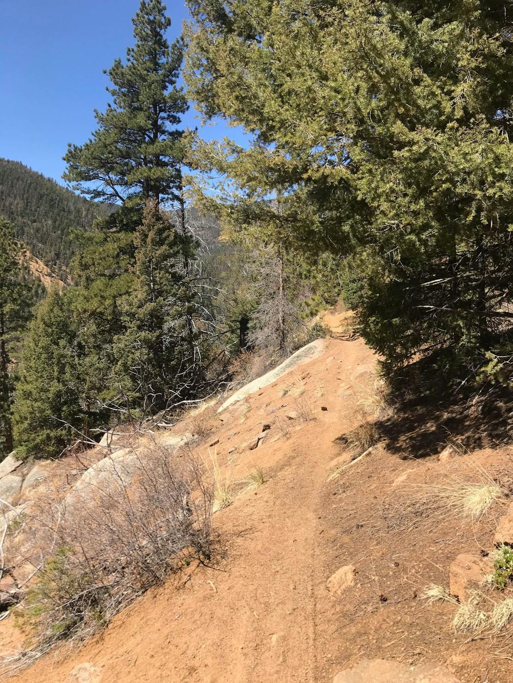
You can start at Helen Hunt Falls or Gold Camp upper parking lot (starting from the falls adds an extra mile and 300 ft of vert on the day) Then take the 7 Bridges Trail (#622) to Pipeline Trail (#668) and go left. From here you pass over the stream several times and make some pretty steep climbs until you get to Foresters Trail (#701), go left here for about .25 mile and then you'll end up in a parking lot for FR 379. Take a left at 379 and you'll see the trail head for Nelson's Trail (#672). The trail gets steep with lots of roots and loose rocks. Go a little over a mile until you see the trail head for Mt. Rosa (#673), which is an out and back for the summit (11500ft). After you get back from the summit you take #672 to FSR 381, this is where you'll find the start of St. Mary's Falls Trail (#624). There is no signage, so you have to look for the fence and find the opening and follow the trail to the right. The trail gets steep with lots of loose rocks, but there is a good stream to stop for water (have a filter). You follow the trail down in to the canyon and north until you get to Gold Camp Road and head back to your starting location. There are flowing streams within the first couple of miles and the last couple of miles if you want to bring a filter for water.
Difficult

The trail contains some obstacles such as outcroppings and rock which could cause injury.
Away from help but easily accessed.
9.5 km away
One of Colorado's newest state parks boasts fantastic singletrack!
Moderate Trail Running