9 km away
Leadville Trail 100
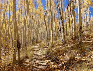
One of the most-coveted 100-mile trail running races in the world.
Severe Trail Running
- Distance
- 157 km
- Ascent
- 4.3 km
- Descent
- 4.3 km
14 14ers, no cars allowed
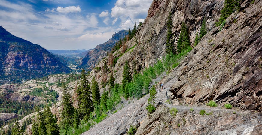
Trail Running Difficult

This is a popular trail running route which is generally considered to be difficult. It's remote, it features medium exposure and is typically done between July and October. From a low point of 2.7 km to the maximum altitude of 4.4 km, the route covers 153 km, 12829 vertical metres of ascent and 12786 vertical metres of descent.
All but one of the Sawatch 14ers in one big push.
Difficult

The trail contains some obstacles such as outcroppings and rock which could cause injury.
Away from help but easily accessed.
9 km away
One of the most-coveted 100-mile trail running races in the world.
Severe Trail Running
1 routes · Trail Running
3 routes · Trail Running
4 routes · Trail Running