8 routes · Trail Running
Up and up through some of the park’s wildest backcountry, passing waterfalls and lakes, and leaving the crowds far behind.
Trail Running Difficult

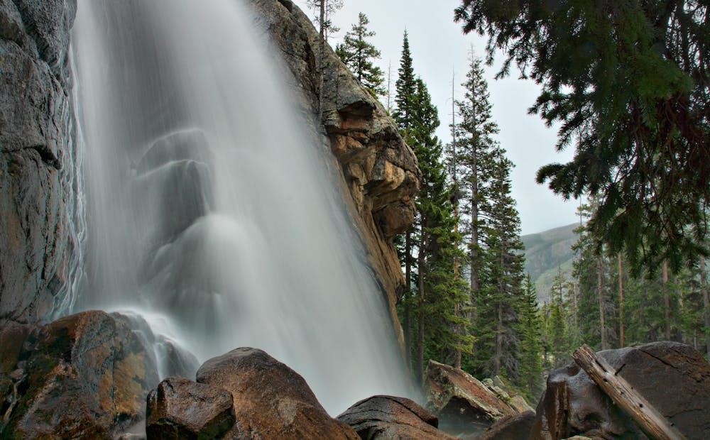
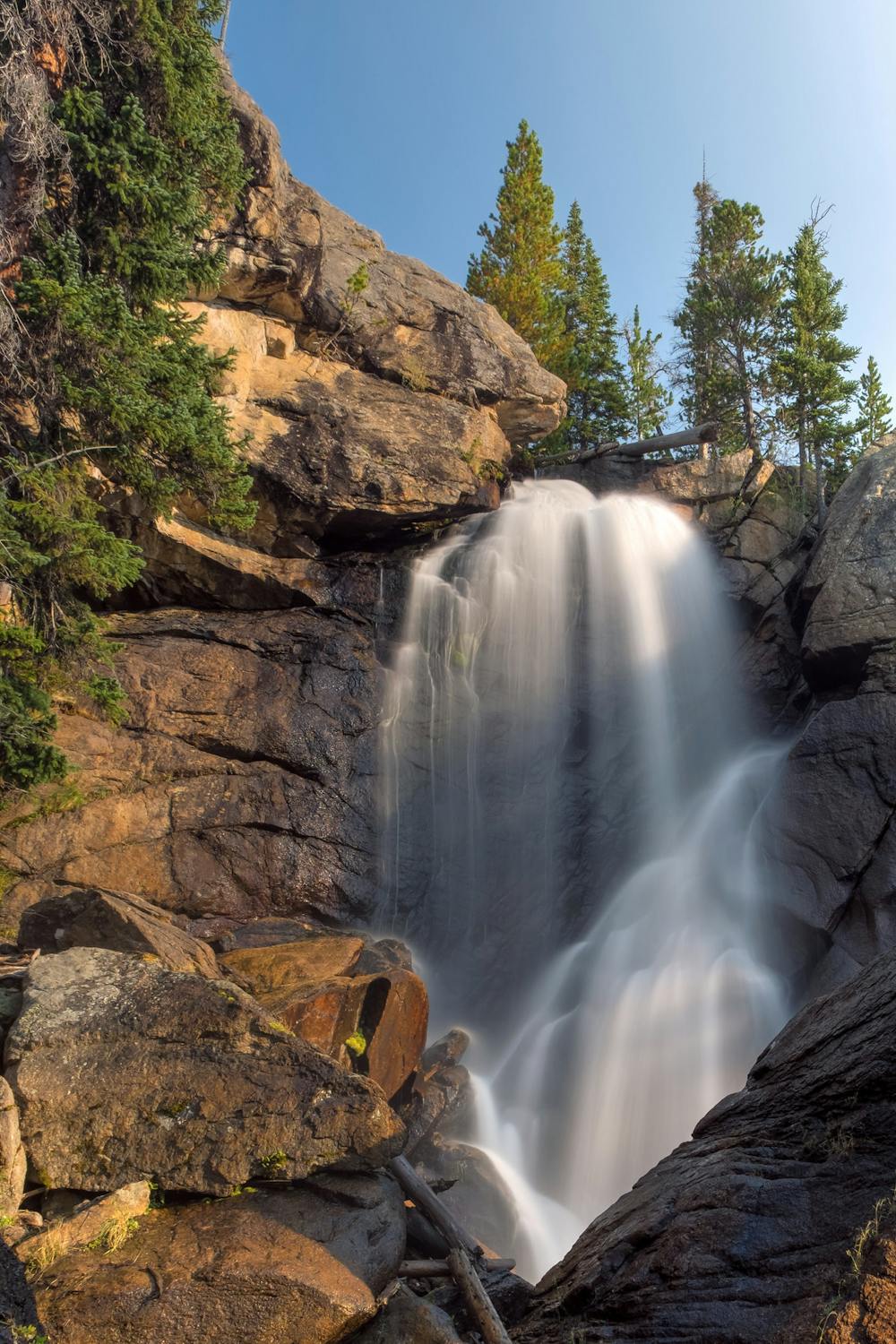
Bluebird Lake is a fantastic mountain run in the lesser-visited Wild Basin area of Rocky Mountain National Park. Ouzel Falls, along the way, is a popular hiking destination, but above the waterfall, you could have the trail all to yourself. From Wild Basin trailhead, the trail begins as a gradual incline, nicely shaded by pines and aspen, beside a tumbling creek. It’s all very well maintained and mostly smooth, with just the right amount of ruggedness to keep things interesting. A major highlight comes at Calypso Cascades, where two bridges cross the creek in view of a tiered waterfall. Soon after comes a much steeper section of trail, which twists its way up a rocky slope with views to the valley and Longs Peak. Ouzel Falls is at the top of this. It’s a shower of water over a 40-foot rock face. Beyond the falls, the gradient relaxes a bit, but the uphill is never over until the very end.
A couple of broad switchbacks gain a rounded ridge, where much of the forest is charred by a past wildfire. Even though the elevation approaches 10,000 feet, this section can get hot in full sun. The trail remains straightforward, but with no shortage of rocks, some of them loose. Next comes a subalpine valley, where the trail contours a burned hillside with Ouzel Lake visible below. Looming ahead is a rocky headwall, with no apparent way around it. The trail works its way through some pine forest, strewn with boulders and possibly lingering snow, then smacks into the base of the cliffs. It makes a zigzagging path up a grassy natural ramp, then straight up a rock-walled gully. No scrambling is necessary, but trekking poles might help stabilize on the scattered talus.
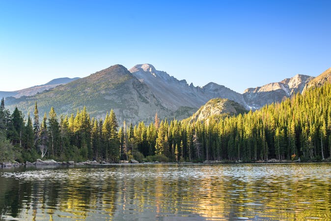
Bluebird Lake awaits at the top, at nearly 11,000 feet elevation. It’s a solitary lake positioned at the treeline, surrounded by granite slopes, snowfields, and peaks. The solitude at this pristine spot is a hard-earned reward. It’s only the halfway point, of course, and miles of rugged downhill lead back to the car. There are a couple of possible side trips on the way down, namely the spur to Ouzel Lake, and a short detour near the trailhead to Copeland Falls.
Sources: https://dayhikesneardenver.com/bluebird-lake-hike-rocky-mountain-national-park/ http://www.rockymountainhikingtrails.com/bluebird-lake.htm
Difficult

The trail contains some obstacles such as outcroppings and rock which could cause injury.

Little chance of being seen or helped in case of an accident.
8 routes · Trail Running