2.5 km away
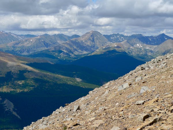
Bald Mountain Summit
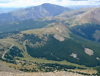
A steep trail run leading to expansive views from the top of 13,690-foot Bald Mountain.
Moderate Trail Running
- Distance
- 24 km
- Ascent
- 1.2 km
- Descent
- 1.2 km
A point-to-point trail run along the popular Peaks Trail.
Trail Running Easy

The Peaks Trail runs for 8 miles one-way between the towns of Breckenridge and Frisco. The trail "follows an old mining road from the 1800’s and has a section that runs alongside an aqueduct that was built by miners to funnel and sift water containing precious gold and silver,” according to Mark Grattan on BestOfBreck.com.
Runners can choose to run the Peaks Trail as a loop, an out-and-back, or thanks to the great public transportation in Summit County, running a point-to-point route with a net elevation loss is also an option (as mapped here).
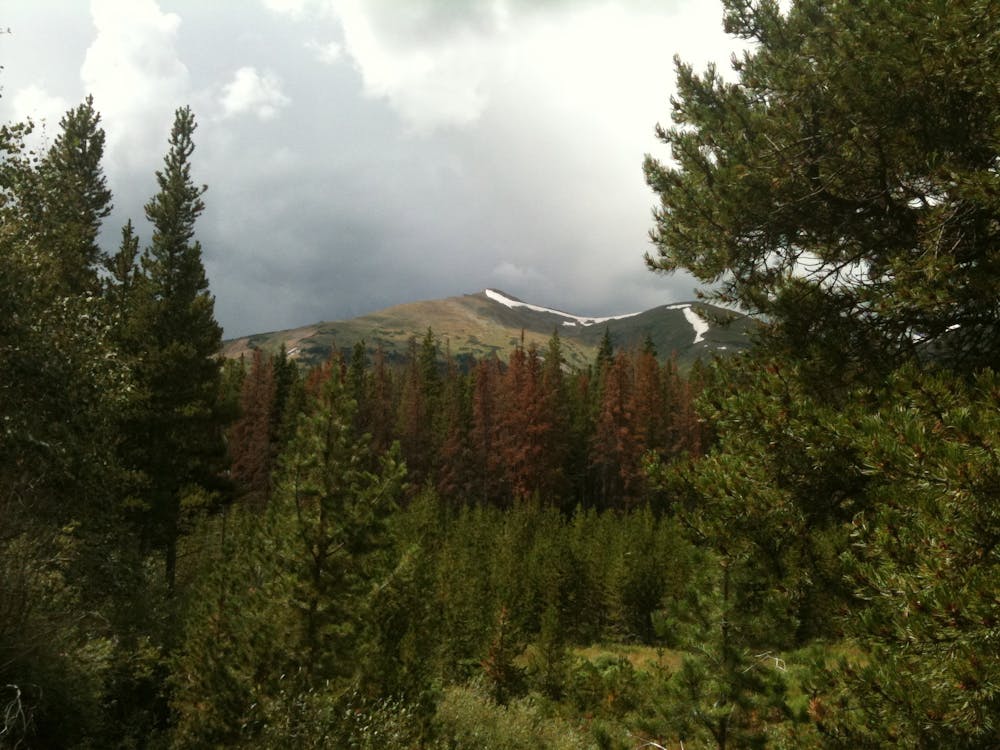
Since the trail undulates up and down the flanks of the mountainside, this trail run is not nearly as intense as some of the straight-up-and-straight-down efforts in the nearby mountains. As the Peaks Trail makes its way across the flanks of the Tenmile Range from Peak 1 to Peak 10, the trail stays "mostly in the lodgepole pine forest along with some aspen, spruce and fir forests,” according to the US Forest Service. Also, while it’s always good to be aware of the weather and the danger of lightning and thunderstorms in the high country, staying down in the trees reduces your exposure to danger.
The trail tread itself tends to vary from wide and quite smooth to narrow and filled with roots and chunky rocks. Thanks to the approachable variety of this trail, it can serve as a great introduction to trail running for the newly-initiated!
Sources: https://www.bestofbreck.com/peaks-trail-overview/ https://www.fs.usda.gov/recarea/whiteriver/recreation/recarea/?recid=40691&actid=24
Easy

The trail contains some obstacles such as outcroppings and rock which could cause injury.
Away from help but easily accessed.
2.5 km away
A steep trail run leading to expansive views from the top of 13,690-foot Bald Mountain.
Moderate Trail Running
3 routes · Trail Running